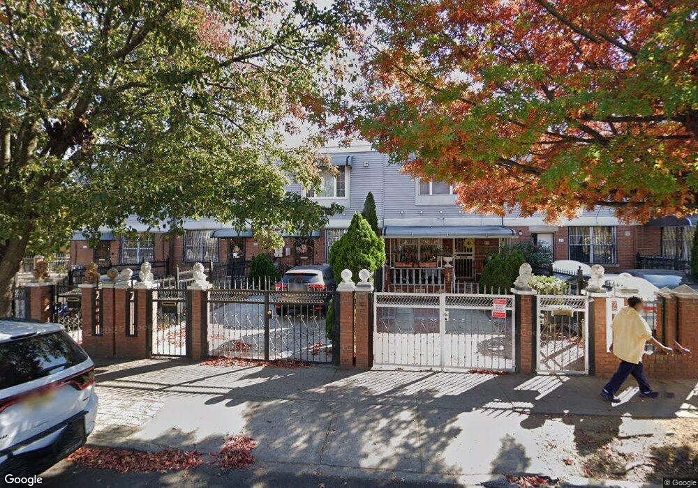
212 New Lots Ave Brooklyn, NY 11207
Brownsville NeighborhoodEstimated Value: $586,894 - $705,000
Studio
--
Bath
1,332
Sq Ft
$492/Sq Ft
Est. Value
About This Home
This home is located at 212 New Lots Ave, Brooklyn, NY 11207 and is currently estimated at $655,224, approximately $491 per square foot. 212 New Lots Ave is a home located in Kings County with nearby schools including P.S. 190 - Sheffield, Achievement First - East New York School, and Grace Christian Educational.
Ownership History
Date
Name
Owned For
Owner Type
Purchase Details
Closed on
May 1, 2002
Sold by
Nehemiah Housing Develop
Bought by
Bartholomew Corine T
Current Estimated Value
Home Financials for this Owner
Home Financials are based on the most recent Mortgage that was taken out on this home.
Original Mortgage
$77,000
Outstanding Balance
$32,697
Interest Rate
7.01%
Estimated Equity
$622,527
Create a Home Valuation Report for This Property
The Home Valuation Report is an in-depth analysis detailing your home's value as well as a comparison with similar homes in the area
Home Values in the Area
Average Home Value in this Area
Purchase History
| Date | Buyer | Sale Price | Title Company |
|---|---|---|---|
| Bartholomew Corine T | -- | -- |
Source: Public Records
Mortgage History
| Date | Status | Borrower | Loan Amount |
|---|---|---|---|
| Open | Bartholomew Corine T | $77,000 |
Source: Public Records
Tax History
| Year | Tax Paid | Tax Assessment Tax Assessment Total Assessment is a certain percentage of the fair market value that is determined by local assessors to be the total taxable value of land and additions on the property. | Land | Improvement |
|---|---|---|---|---|
| 2025 | $4,473 | $33,060 | $14,520 | $18,540 |
| 2024 | $4,473 | $33,840 | $14,520 | $19,320 |
| 2023 | $4,250 | $35,820 | $14,520 | $21,300 |
| 2022 | $3,919 | $33,120 | $14,520 | $18,600 |
| 2021 | $3,915 | $29,100 | $14,520 | $14,580 |
| 2019 | $3,179 | $25,620 | $14,520 | $11,100 |
| 2018 | $2,646 | $18,607 | $8,186 | $10,421 |
| 2017 | $2,217 | $17,556 | $7,135 | $10,421 |
| 2016 | $1,950 | $17,556 | $7,135 | $10,421 |
| 2015 | $355 | $17,421 | $7,000 | $10,421 |
| 2014 | $355 | $16,436 | $6,015 | $10,421 |
Source: Public Records
Map
Nearby Homes
- 650 Williams Ave
- 660 Williams Ave
- 589 Hinsdale St
- 584 Hinsdale St
- 1753 Linden Blvd
- 610 Alabama Ave
- 606 Alabama Ave
- 578 Williams Ave
- 533 Snediker Ave
- 592 Powell St
- 90 Louisiana Ave
- 719 Alabama Ave
- 546 Powell St
- 699 Sackman St
- 494 Hegeman Ave
- 770 Snediker Ave
- 555 Christopher Ave
- 605 Sheffield Ave
- 525 Alabama Ave
- 591 Sheffield Ave
- 210 New Lots Ave
- 208 New Lots Ave
- 214 New Lots Ave
- 206 New Lots Ave
- 204 New Lots Ave
- 220 New Lots Ave
- 202 New Lots Ave
- 626 Hinsdale St
- 200 New Lots Ave
- 634 Hinsdale St
- 196 New Lots Ave
- 636 Hinsdale St
- 641 Snediker Ave
- 222 New Lots Ave
- 638 Hinsdale St
- 639 Snediker Ave
- 621 Hinsdale St
- 209 New Lots Ave
- 617 Hinsdale St
- 623 Hinsdale St
Your Personal Tour Guide
Ask me questions while you tour the home.