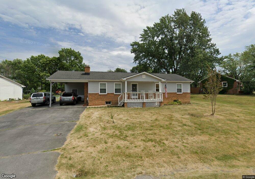
212 Ridge Rd Winchester, VA 22602
Estimated Value: $361,126 - $415,000
4
Beds
3
Baths
1,344
Sq Ft
$281/Sq Ft
Est. Value
About This Home
This home is located at 212 Ridge Rd, Winchester, VA 22602 and is currently estimated at $377,532, approximately $280 per square foot. 212 Ridge Rd is a home located in Frederick County with nearby schools including Admiral Richard E. Byrd Middle School, Millbrook High School, and Sharon's Centre.
Ownership History
Date
Name
Owned For
Owner Type
Purchase Details
Closed on
Feb 2, 2004
Sold by
Shuler Goldie B
Bought by
Lestik Mark
Current Estimated Value
Home Financials for this Owner
Home Financials are based on the most recent Mortgage that was taken out on this home.
Original Mortgage
$183,000
Outstanding Balance
$85,767
Interest Rate
5.82%
Mortgage Type
New Conventional
Estimated Equity
$291,765
Create a Home Valuation Report for This Property
The Home Valuation Report is an in-depth analysis detailing your home's value as well as a comparison with similar homes in the area
Home Values in the Area
Average Home Value in this Area
Purchase History
| Date | Buyer | Sale Price | Title Company |
|---|---|---|---|
| Lestik Mark | $183,000 | -- | |
| Lestik Mark T | $183,000 | -- |
Source: Public Records
Mortgage History
| Date | Status | Borrower | Loan Amount |
|---|---|---|---|
| Open | Lestik Mark T | $183,000 | |
| Closed | Lestik Mark T | $183,000 |
Source: Public Records
Tax History
| Year | Tax Paid | Tax Assessment Tax Assessment Total Assessment is a certain percentage of the fair market value that is determined by local assessors to be the total taxable value of land and additions on the property. | Land | Improvement |
|---|---|---|---|---|
| 2025 | $1,657 | $345,300 | $93,000 | $252,300 |
| 2024 | $737 | $289,000 | $77,000 | $212,000 |
| 2023 | $1,474 | $289,000 | $77,000 | $212,000 |
| 2022 | $1,430 | $234,400 | $72,000 | $162,400 |
| 2021 | $1,430 | $234,400 | $72,000 | $162,400 |
| 2020 | $1,238 | $203,000 | $72,000 | $131,000 |
| 2019 | $1,238 | $203,000 | $72,000 | $131,000 |
| 2018 | $1,145 | $187,700 | $72,000 | $115,700 |
| 2017 | $1,126 | $187,700 | $72,000 | $115,700 |
| 2016 | $517 | $172,400 | $59,500 | $112,900 |
| 2015 | $965 | $172,400 | $59,500 | $112,900 |
| 2014 | $487 | $163,700 | $59,500 | $104,200 |
Source: Public Records
Map
Nearby Homes
- 204 Ridge Rd
- Homesite 210 Duke Ct
- Homesite 184 Malbec
- 5 Williamson Rd
- 154 Williamson Rd
- 159 Williamson Rd
- 174 Williamson Rd
- 156 Williamson Rd
- 191 Malbec Ct
- 129 Huntcrest Cir
- 113 Worsham Terrace
- 114 Green Park Dr
- 206 Williamson Rd
- 207 Williamson Rd
- 135 Meade Dr
- 101 Abrams Pointe Blvd
- 132 Seabreeze Ln
- 111 Pawn Ct
- 110 Carter Place
- 110 Shouner Ct
Your Personal Tour Guide
Ask me questions while you tour the home.