Estimated Value: $239,666 - $367,000
3
Beds
2
Baths
1,705
Sq Ft
$181/Sq Ft
Est. Value
About This Home
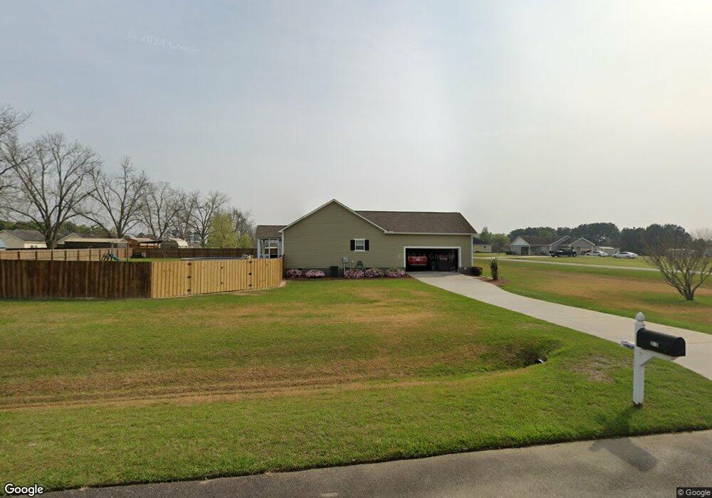
This home is located at 212 Virginia Cir, Cairo, GA 39828 and is currently estimated at $308,667, approximately $181 per square foot. 212 Virginia Cir is a home located in Grady County.
Ownership History
Date
Name
Owned For
Owner Type
Purchase Details
Closed on
Feb 22, 2008
Sold by
Hoveland Pamela
Bought by
Ballard Gary W
Current Estimated Value
Home Financials for this Owner
Home Financials are based on the most recent Mortgage that was taken out on this home.
Original Mortgage
$160,500
Outstanding Balance
$95,691
Interest Rate
5.46%
Mortgage Type
New Conventional
Estimated Equity
$212,976
Purchase Details
Closed on
Jun 15, 2007
Sold by
Hoveland Pam
Bought by
Hoveland Richard
Purchase Details
Closed on
Jun 4, 2007
Sold by
M & S Properties Of Grady Ll
Bought by
Hoveland Pamela H
Purchase Details
Closed on
Jul 7, 2004
Bought by
M & S Properties
Create a Home Valuation Report for This Property
The Home Valuation Report is an in-depth analysis detailing your home's value as well as a comparison with similar homes in the area
Purchase History
| Date | Buyer | Sale Price | Title Company |
|---|---|---|---|
| Ballard Gary W | $169,000 | -- | |
| Hoveland Richard | -- | -- | |
| Hoveland Pamela H | $99,550 | -- | |
| M & S Properties | -- | -- |
Source: Public Records
Mortgage History
| Date | Status | Borrower | Loan Amount |
|---|---|---|---|
| Open | Ballard Gary W | $160,500 |
Source: Public Records
Tax History
| Year | Tax Paid | Tax Assessment Tax Assessment Total Assessment is a certain percentage of the fair market value that is determined by local assessors to be the total taxable value of land and additions on the property. | Land | Improvement |
|---|---|---|---|---|
| 2025 | $1,919 | $89,496 | $4,424 | $85,072 |
| 2024 | $1,919 | $80,504 | $4,424 | $76,080 |
| 2023 | $1,814 | $60,942 | $3,400 | $57,542 |
| 2022 | $1,814 | $60,942 | $3,400 | $57,542 |
| 2021 | $1,820 | $60,942 | $3,400 | $57,542 |
| 2020 | $1,827 | $60,942 | $3,400 | $57,542 |
| 2019 | $1,827 | $60,942 | $3,400 | $57,542 |
| 2018 | $1,715 | $60,942 | $3,400 | $57,542 |
| 2017 | $1,632 | $60,942 | $3,400 | $57,542 |
| 2016 | $1,618 | $60,085 | $12,000 | $48,085 |
| 2015 | $1,079 | $41,225 | $4,400 | $36,825 |
| 2014 | $1,081 | $41,225 | $4,400 | $36,825 |
| 2013 | -- | $49,202 | $4,400 | $44,802 |
Source: Public Records
Map
Nearby Homes
- 171 Blair Dr
- 130 Blair Dr
- 129 Alison Dr
- 122 Dori Dr
- 142 Dori Dr
- 161 Evergreen Ln
- 309 Sunset Ln
- 4014 U S Hwy 84 16 Acres
- 3109 U S 84
- 3109 U S 84
- 88 Ruby Ln
- 78.6 Ac Strickland Rd
- 79 27th St NE
- 2427 Pierce Chapel Rd
- 2690 U S 84
- 21 24th St NE
- 66 22nd St NE
- 3136 State Route 188
- 00 Academy Dr
- 0 20th St NE
- 254 Virginia Cir
- 198 Virginia Cir
- 211 Virginia Cir
- 268 Virginia Cir
- 184 Virginia Cir
- 245 Virginia Cir
- 189 Virginia Cir
- 282 Virginia Cir
- 225 Virginia Cir
- 1182 Pierce Chapel Rd
- 105 Poplar Ln
- 1168 Pierce Chapel Rd
- 1198 Pierce Chapel Rd
- 104 Poplar Ln
- 175 Virginia Cir
- 1208 Pierce Chapel Rd
- 296 Virginia Cir
- Lot 52 Virginia Cir
- Lot 18 Virginia Cir Unit 18
- Lot 23 Virginia Cir Unit 23
Your Personal Tour Guide
Ask me questions while you tour the home.