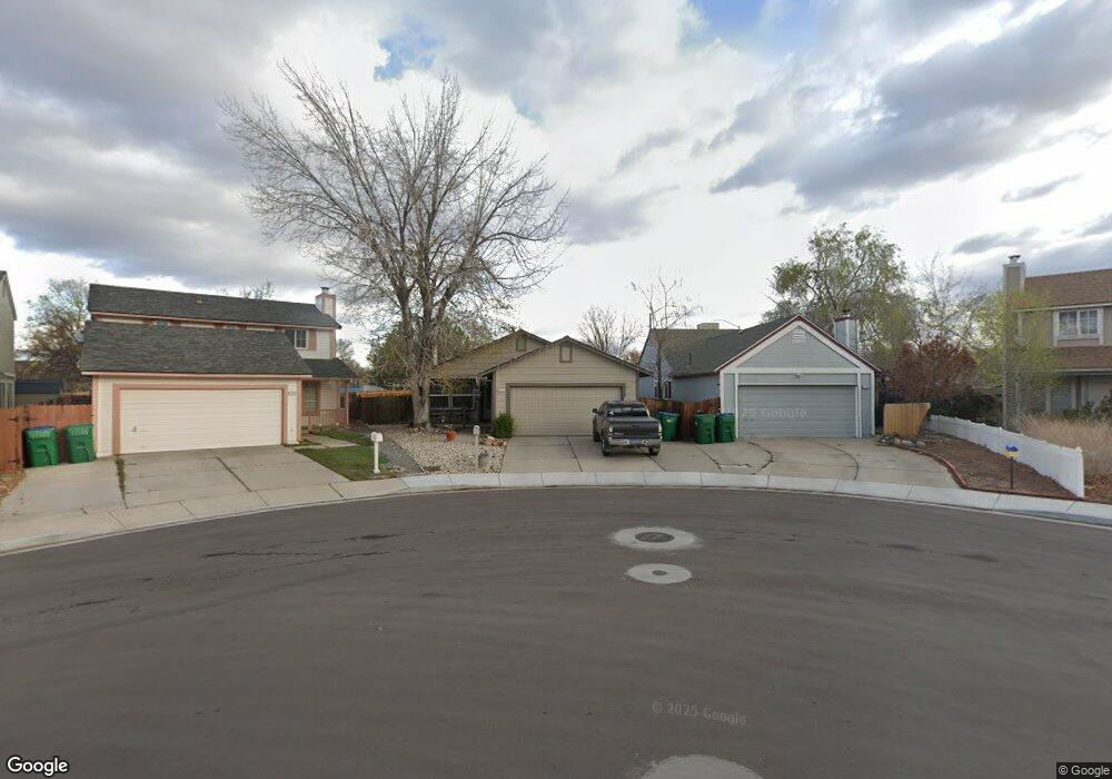
2120 Burnside Dr Sparks, NV 89434
O'Callaghan NeighborhoodEstimated Value: $436,000 - $457,979
3
Beds
2
Baths
1,376
Sq Ft
$328/Sq Ft
Est. Value
About This Home
This home is located at 2120 Burnside Dr, Sparks, NV 89434 and is currently estimated at $450,995, approximately $327 per square foot. 2120 Burnside Dr is a home located in Washoe County with nearby schools including Katherine Dunn Elementary School, George L Dilworth Middle School, and Edward C Reed High School.
Ownership History
Date
Name
Owned For
Owner Type
Purchase Details
Closed on
May 9, 2008
Sold by
Holland Kim F and Holland Christine K
Bought by
Holland Kim F and Holland Christine K
Current Estimated Value
Home Financials for this Owner
Home Financials are based on the most recent Mortgage that was taken out on this home.
Original Mortgage
$90,000
Interest Rate
5.88%
Mortgage Type
New Conventional
Create a Home Valuation Report for This Property
The Home Valuation Report is an in-depth analysis detailing your home's value as well as a comparison with similar homes in the area
Home Values in the Area
Average Home Value in this Area
Purchase History
We collect this data history from publicly available records. To have your information removed, we recommend requesting removal directly through your county’s website.
| Date | Buyer | Sale Price | Title Company |
|---|---|---|---|
| Holland Kim F | -- | Western Title Inc Ridge |
Source: Public Records
Mortgage History
We collect this data history from publicly available records. To have your information removed, we recommend requesting removal directly through your county’s website.
| Date | Status | Borrower | Loan Amount |
|---|---|---|---|
| Closed | Holland Kim F | $90,000 |
Source: Public Records
Tax History
| Year | Tax Paid | Tax Assessment Tax Assessment Total Assessment is a certain percentage of the fair market value that is determined by local assessors to be the total taxable value of land and additions on the property. | Land | Improvement |
|---|---|---|---|---|
| 2026 | -- | $69,766 | $34,650 | $35,116 |
| 2024 | $1,675 | $69,778 | $32,725 | $37,053 |
| 2023 | $1,626 | $67,801 | $32,305 | $35,496 |
| 2022 | $1,579 | $55,919 | $26,005 | $29,914 |
| 2021 | $1,534 | $49,932 | $19,845 | $30,087 |
| 2020 | $1,487 | $50,334 | $19,775 | $30,559 |
| 2019 | $1,444 | $48,824 | $18,935 | $29,889 |
| 2018 | $1,402 | $43,447 | $13,965 | $29,482 |
| 2017 | $1,362 | $42,474 | $12,670 | $29,804 |
| 2016 | $1,328 | $42,117 | $11,410 | $30,707 |
| 2015 | $1,325 | $40,763 | $9,625 | $31,138 |
| 2014 | $1,261 | $37,550 | $8,225 | $29,325 |
| 2013 | -- | $33,752 | $6,090 | $27,662 |
Source: Public Records
Map
Nearby Homes
- 2495 Sycamore Glen Dr Unit 5
- 1784 Sabatino Dr
- 2205 Morninglory Dr
- 2407 Sunny Slope Dr Unit 1
- 1920 Figoni Ranch Rd
- 1236 Flora Glen Dr
- 2627 Sunny Slope Dr Unit 5
- 2625 Sunny Slope Dr
- 2625 Sunny Slope Dr Unit 2
- 2624 Sunny Slope Dr Unit 4
- 2624 Sunny Slope Dr Unit 2
- 2675 Sycamore Glen Dr Unit 3
- 1632 Union St
- 2261 Tangerine St
- 1236 Lawton Ct
- 1351 Burnside Ct
- 1270 Express St
- 2688 Laguna Way
- 913 Glen Molly Dr
- 1279 Junction Dr
- 2110 Burnside Dr
- 2130 Burnside Dr
- 2100 Burnside Dr
- 2150 Burnside Dr
- 2090 Burnside Dr
- 2160 Burnside Dr
- 2080 Burnside Dr
- 2091 Burnside Dr
- 2006 Haywood Dr
- 2170 Burnside Dr
- 2070 Burnside Dr
- 2081 Burnside Dr
- 2016 Haywood Dr
- 2180 Burnside Dr
- 2071 Burnside Dr
- 2026 Haywood Dr
- 2060 Burnside Dr
- 2052 Union St
- 2042 Union St
- 2061 Burnside Dr
Your Personal Tour Guide
Ask me questions while you tour the home.