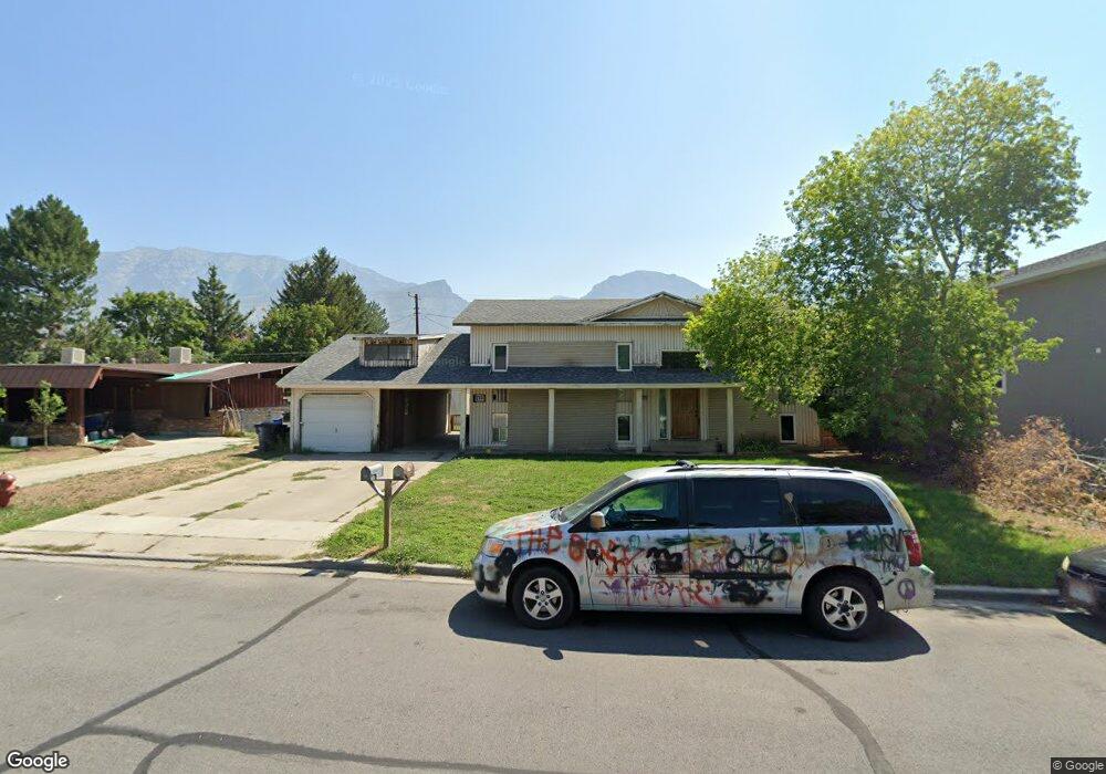
2120 N 1000 W Provo, UT 84604
Riverside NeighborhoodEstimated Value: $487,000 - $569,000
3
Beds
4
Baths
1,134
Sq Ft
$469/Sq Ft
Est. Value
About This Home
This home is located at 2120 N 1000 W, Provo, UT 84604 and is currently estimated at $532,409, approximately $469 per square foot. 2120 N 1000 W is a home located in Utah County with nearby schools including Westridge Elementary School, Dixon Middle School, and Provo High School.
Ownership History
Date
Name
Owned For
Owner Type
Purchase Details
Closed on
Nov 5, 2024
Sold by
Driftertown Llc
Bought by
Baca-Ramirez Moises
Current Estimated Value
Home Financials for this Owner
Home Financials are based on the most recent Mortgage that was taken out on this home.
Original Mortgage
$448,000
Outstanding Balance
$443,054
Interest Rate
6.09%
Mortgage Type
Credit Line Revolving
Estimated Equity
$89,355
Purchase Details
Closed on
Apr 30, 2020
Sold by
Gwc Capital Llc
Bought by
Georgetown Development Inc
Purchase Details
Closed on
Nov 25, 2014
Sold by
Simon Steven B
Bought by
Driftertown Llc
Create a Home Valuation Report for This Property
The Home Valuation Report is an in-depth analysis detailing your home's value as well as a comparison with similar homes in the area
Home Values in the Area
Average Home Value in this Area
Purchase History
| Date | Buyer | Sale Price | Title Company |
|---|---|---|---|
| Baca-Ramirez Moises | -- | Gt Title | |
| Georgetown Development Inc | -- | United West Title | |
| Driftertown Llc | -- | None Available |
Source: Public Records
Mortgage History
| Date | Status | Borrower | Loan Amount |
|---|---|---|---|
| Open | Baca-Ramirez Moises | $448,000 |
Source: Public Records
Tax History
| Year | Tax Paid | Tax Assessment Tax Assessment Total Assessment is a certain percentage of the fair market value that is determined by local assessors to be the total taxable value of land and additions on the property. | Land | Improvement |
|---|---|---|---|---|
| 2025 | $2,455 | $273,680 | -- | -- |
| 2024 | $2,455 | $241,670 | $0 | $0 |
| 2023 | $2,441 | $236,885 | $0 | $0 |
| 2022 | $2,253 | $220,495 | $0 | $0 |
| 2021 | $1,709 | $291,600 | $109,200 | $182,400 |
| 2020 | $1,648 | $263,600 | $99,300 | $164,300 |
| 2019 | $1,542 | $256,500 | $92,200 | $164,300 |
| 2018 | $1,351 | $228,000 | $85,100 | $142,900 |
| 2017 | $1,256 | $116,490 | $0 | $0 |
| 2016 | $1,247 | $107,745 | $0 | $0 |
| 2015 | $1,162 | $101,530 | $0 | $0 |
| 2014 | $1,040 | $94,710 | $0 | $0 |
Source: Public Records
Map
Nearby Homes
- 2241 N 1060 W
- 1009 W 2000 N
- 2306 N 920 W
- 784 E 1700 S
- 1927 Columbia Ln
- 431 W 2310 N
- 1763 Willowbrook Dr Unit 4D1
- 1731 Willowbrook Dr Unit B5
- 1662 Willowbrook Dr
- 840 E 1550 S
- 1674 Hickory Ln
- 1676 Hickory Ln
- 595 W 1850 N
- 681 E 1600 S
- 1362 W 1940 N
- 493 E 2000 S
- 1638 Woodland Dr
- 720 E 1500 S
- 920 W Columbia Ln
- 1812 N 1350 W
Your Personal Tour Guide
Ask me questions while you tour the home.