Estimated Value: $464,000 - $644,051
About This Home
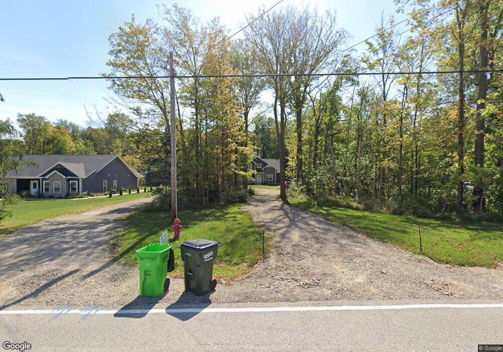
This home is located at 2120 Norton Rd, Stow, OH 44224 and is currently estimated at $549,013, approximately $197 per square foot. 2120 Norton Rd is a home located in Summit County with nearby schools including Stow-Munroe Falls High School, Primrose School of Hudson, and Seton Catholic Elementary School.
Ownership History
We collect this data history from publicly available records. To have your information removed, we recommend requesting removal directly through your county’s website.
Purchase Details
Home Financials for this Owner
Home Financials are based on the most recent Mortgage that was taken out on this home.Purchase Details
Purchase Details
Home Values in the Area
Average Home Value in this Area
Purchase History
We collect this data history from publicly available records. To have your information removed, we recommend requesting removal directly through your county’s website.
| Date | Buyer | Sale Price | Title Company |
|---|---|---|---|
| $120,000 | None Available | ||
| -- | Johnson & Parrish Title | ||
| $175,000 | Johnson & Parrish Title Agen |
Mortgage History
We collect this data history from publicly available records. To have your information removed, we recommend requesting removal directly through your county’s website.
| Date | Status | Borrower | Loan Amount |
|---|---|---|---|
| Open | $313,400 |
Tax History
We collect this data history from publicly available records. To have your information removed, we recommend requesting removal directly through your county’s website.
| Year | Tax Paid | Tax Assessment Tax Assessment Total Assessment is a certain percentage of the fair market value that is determined by local assessors to be the total taxable value of land and additions on the property. | Land | Improvement |
|---|---|---|---|---|
| 2026 | $13,267 | $165,841 | $24,602 | $141,239 |
| 2024 | $9,303 | $165,841 | $24,602 | $141,239 |
| 2023 | $13,805 | $165,841 | $24,602 | $141,239 |
| 2022 | $8,168 | $128,559 | $19,072 | $109,487 |
| 2021 | $7,308 | $128,559 | $19,072 | $109,487 |
| 2020 | $7,182 | $128,560 | $19,070 | $109,490 |
| 2019 | $7,318 | $122,510 | $16,830 | $105,680 |
| 2018 | $1,269 | $20,190 | $20,190 | $0 |
| 2017 | $1,304 | $20,190 | $20,190 | $0 |
| 2016 | $1,340 | $20,190 | $20,190 | $0 |
| 2015 | $1,304 | $20,190 | $20,190 | $0 |
| 2014 | $1,306 | $20,190 | $20,190 | $0 |
| 2013 | $1,297 | $20,190 | $20,190 | $0 |
Map
- 5111 Rockport Cove
- 2705 Calais Dr
- 1671 Sapphire Dr
- 1979 Sandy Hook
- 4756 Fox Run Dr
- 1528 Spruce Hill Dr
- 5321 Young Rd
- 4457 Forest Lake Ct
- 2591 Jefferson Place Unit B
- 4915 Friar Rd Unit B
- 2412 Wrens Dr S
- 4709 Nottingham Ln
- 3021 Duquesne Dr
- 1946 Leisure Ln
- 1801 Carver Ln
- 1480 Meadowbrook Blvd
- 1969 Willowdale Dr
- 5640 Gibson Ct
- 5959 Brewster Dr
- 2344 Echo Valley Dr
- 2120 Norton Rd
- 2132 Norton Rd
- 2146 Norton Rd
- 3992 Deacon Ct
- 2102 Norton Rd
- 3989 Deacon Ct
- 2088 Norton Rd
- 2158 Norton Rd
- 1966 Weston Dr
- 4000 Deacon Ct
- 3997 Deacon Ct
- 4356 Westchester Ct
- 1980 Weston Dr
- 4364 Westchester Ct
- 4012 Deacon Ct
- 4009 Deacon Ct
- 2074 Norton Rd
- 1992 Weston Dr
- 1971 Weston Dr
- 4376 Westchester Ct
Ask me questions while you tour the home.