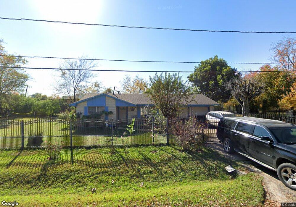
2120 Pine Tree Dr Houston, TX 77093
Eastex-Jensen NeighborhoodEstimated Value: $210,081 - $252,000
3
Beds
2
Baths
1,504
Sq Ft
$155/Sq Ft
Est. Value
About This Home
This home is located at 2120 Pine Tree Dr, Houston, TX 77093 and is currently estimated at $233,520, approximately $155 per square foot. 2120 Pine Tree Dr is a home located in Harris County with nearby schools including Coop Elementary School, Patrick Henry Middle School, and Sam Houston Math, Science & Technology Center.
Ownership History
Date
Name
Owned For
Owner Type
Purchase Details
Closed on
Aug 30, 2016
Sold by
Dejesus Inocencio
Bought by
Diaz Trinidad
Current Estimated Value
Purchase Details
Closed on
Apr 8, 1996
Sold by
Symenoidis Parthena V and Elmansoury Virginia
Bought by
Dejesus Inocencio and Diaz Trinidad
Home Financials for this Owner
Home Financials are based on the most recent Mortgage that was taken out on this home.
Original Mortgage
$37,000
Interest Rate
7.78%
Mortgage Type
Seller Take Back
Create a Home Valuation Report for This Property
The Home Valuation Report is an in-depth analysis detailing your home's value as well as a comparison with similar homes in the area
Home Values in the Area
Average Home Value in this Area
Purchase History
| Date | Buyer | Sale Price | Title Company |
|---|---|---|---|
| Diaz Trinidad | -- | None Available | |
| Dejesus Inocencio | -- | Regency Title | |
| Dejesus Inocencio | -- | Regency Title Company |
Source: Public Records
Mortgage History
| Date | Status | Borrower | Loan Amount |
|---|---|---|---|
| Previous Owner | Dejesus Inocencio | $37,000 |
Source: Public Records
Tax History
| Year | Tax Paid | Tax Assessment Tax Assessment Total Assessment is a certain percentage of the fair market value that is determined by local assessors to be the total taxable value of land and additions on the property. | Land | Improvement |
|---|---|---|---|---|
| 2025 | $2,471 | $231,503 | $127,623 | $103,880 |
| 2024 | $2,471 | $216,796 | $93,130 | $123,666 |
| 2023 | $2,471 | $177,770 | $72,758 | $105,012 |
| 2022 | $2,455 | $145,771 | $60,631 | $85,140 |
| 2021 | $2,362 | $112,265 | $43,655 | $68,610 |
| 2020 | $2,231 | $107,979 | $43,655 | $64,324 |
| 2019 | $2,120 | $107,979 | $43,655 | $64,324 |
| 2018 | $133 | $76,146 | $33,468 | $42,678 |
| 2017 | $1,925 | $76,146 | $33,468 | $42,678 |
| 2016 | $1,783 | $76,146 | $33,468 | $42,678 |
| 2015 | $253 | $64,117 | $26,678 | $37,439 |
| 2014 | $253 | $64,117 | $26,678 | $37,439 |
Source: Public Records
Map
Nearby Homes
- 2306 Langley Rd
- 2304 Langley Rd
- 2315 Langley Rd
- 2522 Kowis St
- 2414 Lone Oak Rd
- 2430 Lone Oak Rd Unit 1
- 2502 Lone Oak Rd
- 2506 Lone Oak Rd
- 2512 Lone Oak Rd
- 2332 Margaret St
- 2523 Lone Oak Rd
- 2527 Lone Oak Rd
- 0 Kowis
- 1930 Cromwell St
- 2530 Kowis St
- 2237 Cromwell St
- 2636 Lone Oak Rd
- 2423 Chamberlain St
- 2411 Charles Rd Unit A
- 1805 Chamberlain St
- 2119 Pine Tree Dr
- 2110 Pine Tree Dr
- 2127 Pine Tree Dr
- 2107 Pine Tree Dr
- 2131 Pine Tree Dr
- 2135 Pine Tree Dr
- 2103 Pine Tree Dr
- 0 Gwen Rd
- 2033 Skinner Rd
- 2037 Skinner Rd
- 2031 Skinner Rd
- 10614 Aldine Westfield Rd
- 10617 Aldine Westfield Rd
- 2035 Skinner Rd
- 2205 Skinner Rd
- 2230 Pine Tree Dr
- 2207 Skinner Rd
- 10825 Aldine Westfield Rd
- 2209 Skinner Rd
- 2038 Skinner Rd
Your Personal Tour Guide
Ask me questions while you tour the home.