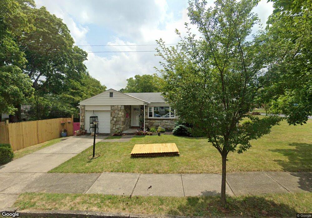
2125 Fairland Ave Bethlehem, PA 18018
West Bethlehem NeighborhoodEstimated Value: $253,000 - $316,000
3
Beds
2
Baths
956
Sq Ft
$306/Sq Ft
Est. Value
About This Home
This home is located at 2125 Fairland Ave, Bethlehem, PA 18018 and is currently estimated at $292,989, approximately $306 per square foot. 2125 Fairland Ave is a home located in Lehigh County with nearby schools including Clearview Elementary School, Nitschmann Middle School, and Liberty High School.
Ownership History
Date
Name
Owned For
Owner Type
Purchase Details
Closed on
Jan 18, 2024
Sold by
Zelechiwsky Bohdan J
Bought by
Mcfadden Beth Ann
Current Estimated Value
Home Financials for this Owner
Home Financials are based on the most recent Mortgage that was taken out on this home.
Original Mortgage
$218,250
Outstanding Balance
$213,271
Interest Rate
7.03%
Mortgage Type
New Conventional
Estimated Equity
$79,718
Purchase Details
Closed on
Jul 14, 1995
Sold by
Burcovsky Anna
Bought by
Burcovsky Anna
Create a Home Valuation Report for This Property
The Home Valuation Report is an in-depth analysis detailing your home's value as well as a comparison with similar homes in the area
Home Values in the Area
Average Home Value in this Area
Purchase History
| Date | Buyer | Sale Price | Title Company |
|---|---|---|---|
| Mcfadden Beth Ann | $225,000 | None Listed On Document | |
| Burcovsky Anna | -- | -- |
Source: Public Records
Mortgage History
| Date | Status | Borrower | Loan Amount |
|---|---|---|---|
| Open | Mcfadden Beth Ann | $218,250 |
Source: Public Records
Tax History
| Year | Tax Paid | Tax Assessment Tax Assessment Total Assessment is a certain percentage of the fair market value that is determined by local assessors to be the total taxable value of land and additions on the property. | Land | Improvement |
|---|---|---|---|---|
| 2026 | $4,353 | $148,000 | $34,700 | $113,300 |
| 2025 | $4,252 | $148,000 | $34,700 | $113,300 |
| 2024 | $4,203 | $148,000 | $34,700 | $113,300 |
| 2023 | $4,166 | $148,000 | $34,700 | $113,300 |
| 2022 | $4,234 | $148,000 | $113,300 | $34,700 |
| 2021 | $4,215 | $148,000 | $34,700 | $113,300 |
| 2020 | $4,080 | $148,000 | $34,700 | $113,300 |
| 2019 | $4,110 | $148,000 | $34,700 | $113,300 |
| 2018 | $4,030 | $148,000 | $34,700 | $113,300 |
| 2017 | $3,851 | $148,000 | $34,700 | $113,300 |
| 2016 | -- | $148,000 | $34,700 | $113,300 |
| 2015 | -- | $148,000 | $34,700 | $113,300 |
| 2014 | -- | $148,000 | $34,700 | $113,300 |
Source: Public Records
Map
Nearby Homes
- 2114 Fireside Dr
- 2104 Fireside Dr
- 956 Club Ave
- 2045 Kenmore Ave
- 701 Pike St
- 1368 Club Ave
- 1316 N Van Buren St
- 1961 Ravenwood Dr
- 847 N Van Buren St
- 903 Highland Ave
- 1962 Glendale Ave
- 1332 N Ulster St
- 1929 E Pennsylvania St
- 1830 W Broad St
- 623 Highland Ave
- 717 Mount Airy Ave
- 312 Central Park Ave
- 1556 Bayberry Ln
- 2035 Drury Ln
- 1557 Kaywin Ave
- 1172 Pennsylvania Ave
- 2115 Fairland Ave
- 2124 Fairland Ave
- 1164 Pennsylvania Ave
- 2116 Fairland Ave
- 2016 Carol Ave
- 1185 W Rosemont Dr
- 1177 W Rosemont Dr
- 2110 Fairland Ave
- 1171 W Rosemont Dr
- 2121 Eastman Ave
- 2104 Fairland Ave
- 2115 Eastman Ave
- 2008 Carol Ave
- 2109 Eastman Ave
- 2023 Carol Ave
- 1148 Pennsylvania Ave
- 1197 W Rosemont Dr
- 2017 Carol Ave
- 1195 Pennsylvania Ave
Your Personal Tour Guide
Ask me questions while you tour the home.