2127 Picture Pointe Dr Windsor, CO 80550
Water Valley NeighborhoodEstimated Value: $1,219,440 - $1,272,000
4
Beds
4
Baths
1,491
Sq Ft
$839/Sq Ft
Est. Value
About This Home
This home is located at 2127 Picture Pointe Dr, Windsor, CO 80550 and is currently estimated at $1,250,360, approximately $838 per square foot. 2127 Picture Pointe Dr is a home located in Weld County with nearby schools including Tozer Elementary School, Mountain View Elementary School, and Windsor Middle School.
Ownership History
Date
Name
Owned For
Owner Type
Purchase Details
Closed on
Oct 8, 2025
Sold by
Swanson William R and Mulligan Colleen A
Bought by
Huinker Jon F and Huinker Emily A
Current Estimated Value
Home Financials for this Owner
Home Financials are based on the most recent Mortgage that was taken out on this home.
Original Mortgage
$1,000,000
Outstanding Balance
$1,000,000
Interest Rate
6.13%
Mortgage Type
New Conventional
Estimated Equity
$250,360
Purchase Details
Closed on
Jan 27, 2023
Sold by
Bighorn Custom Builders Inc
Bought by
Swanson William R and Mulligan Colleen A
Home Financials for this Owner
Home Financials are based on the most recent Mortgage that was taken out on this home.
Original Mortgage
$800,000
Interest Rate
5.13%
Mortgage Type
New Conventional
Purchase Details
Closed on
Jun 2, 2021
Sold by
Larry Odau Trust
Bought by
Bighorn Custom Builders Inc
Home Financials for this Owner
Home Financials are based on the most recent Mortgage that was taken out on this home.
Original Mortgage
$900,000
Interest Rate
9%
Mortgage Type
Purchase Money Mortgage
Create a Home Valuation Report for This Property
The Home Valuation Report is an in-depth analysis detailing your home's value as well as a comparison with similar homes in the area
Home Values in the Area
Average Home Value in this Area
Purchase History
| Date | Buyer | Sale Price | Title Company |
|---|---|---|---|
| Huinker Jon F | $1,250,000 | Land Title | |
| Swanson William R | $1,313,000 | Land Title | |
| Bighorn Custom Builders Inc | $200,000 | Land Title Guarantee Company |
Source: Public Records
Mortgage History
| Date | Status | Borrower | Loan Amount |
|---|---|---|---|
| Open | Huinker Jon F | $1,000,000 | |
| Previous Owner | Swanson William R | $800,000 | |
| Previous Owner | Bighorn Custom Builders Inc | $900,000 |
Source: Public Records
Tax History
| Year | Tax Paid | Tax Assessment Tax Assessment Total Assessment is a certain percentage of the fair market value that is determined by local assessors to be the total taxable value of land and additions on the property. | Land | Improvement |
|---|---|---|---|---|
| 2025 | $10,226 | $75,080 | $25,000 | $50,080 |
| 2024 | $10,226 | $75,080 | $25,000 | $50,080 |
| 2023 | $9,427 | $79,190 | $16,910 | $62,280 |
| 2022 | $5,745 | $40,960 | $40,960 | $62,280 |
| 2021 | $5,336 | $40,960 | $40,960 | $0 |
| 2020 | $2,127 | $16,540 | $16,540 | $0 |
| 2019 | $2,039 | $15,950 | $15,950 | $0 |
| 2018 | $646 | $4,900 | $4,900 | $0 |
| 2017 | $408 | $3,020 | $3,020 | $0 |
| 2016 | $190 | $1,420 | $1,420 | $0 |
| 2015 | $181 | $1,420 | $1,420 | $0 |
| 2014 | $168 | $1,260 | $1,260 | $0 |
Source: Public Records
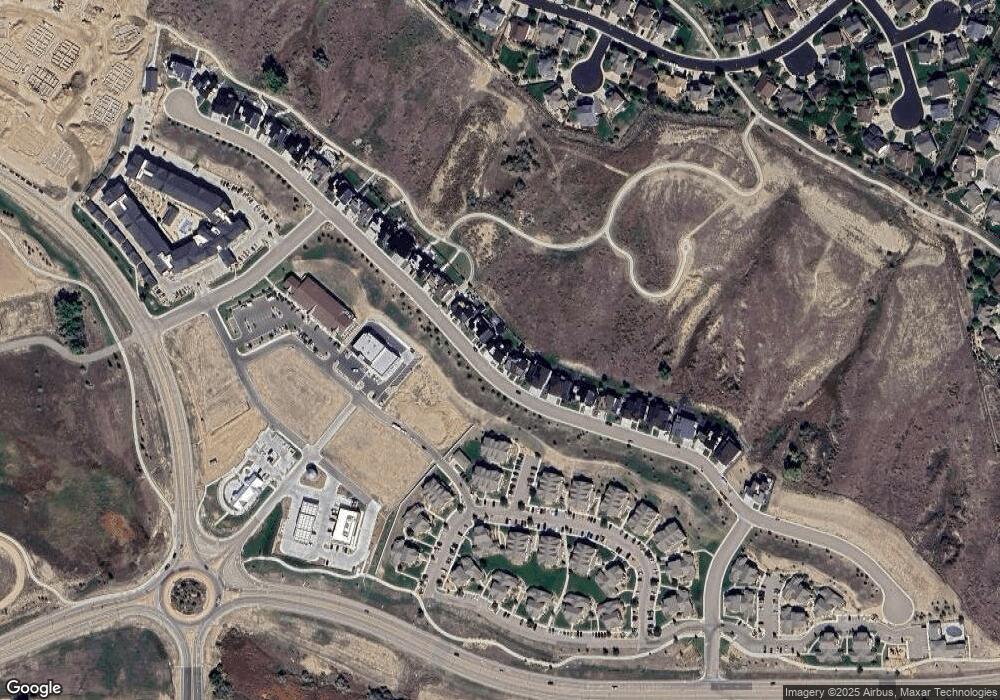
Map
Nearby Homes
- 2177 Picture Point Dr
- 2025 Seagrove Ct
- 101 Siesta Key Ct
- 216 Siesta Key Dr
- 2086 Cape Hatteras Dr
- 2020 Vineyard Ct
- 1979 Cayman Dr
- 183 Kitty Hawk Ct
- 189 Kitty Hawk Ct
- 2145 Longfin Dr
- 2083 Vineyard Dr
- 2078 Vineyard Dr
- 2178 Cape Hatteras Dr Unit 246
- 817 Shade Tree Dr
- 2304 Sublime Dr
- 174 Halibut Dr
- 2169 Longfin Dr
- 2175 Longfin Dr
- 2177 Cape Hatteras Dr Unit 1
- 1910 Tidewater Ln
- 2131 Picture Point Dr
- 2135 Picture Pointe Dr
- 2135 Picture Point Dr
- 2121 Picture Point Dr
- 2139 Picture Point Dr
- 2117 Picture Point Dr
- 2145 Picture Point Dr
- 2115 Picture Point Dr
- 2147 Picture Point Dr
- 2147 Picture Pointe Dr
- 2116 Picture Point Dr Unit s 2&3
- 2111 Picture Point Dr
- 2151 Picture Point Dr
- 2107 Picture Point Dr
- 2155 Picture Point Dr
- 2155 7th St
- 2103 Picture Point Dr
- 2159 Picture Point Dr
- 2099 Picture Point Dr
- 2163 Picture Point Dr
Your Personal Tour Guide
Ask me questions while you tour the home.