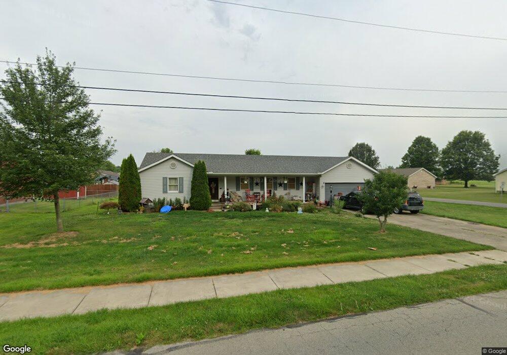
213 Boyd Rd Mount Orab, OH 45154
Mount Orab AreaEstimated Value: $264,870 - $293,000
About This Home
This home is located at 213 Boyd Rd, Mount Orab, OH 45154 and is currently estimated at $278,468, approximately $163 per square foot. 213 Boyd Rd is a home located in Brown County with nearby schools including Western Brown High School.
Ownership History
We collect this data history from publicly available records. To have your information removed, we recommend requesting removal directly through your county’s website.
Purchase Details
Purchase Details
Home Values in the Area
Average Home Value in this Area
Purchase History
We collect this data history from publicly available records. To have your information removed, we recommend requesting removal directly through your county’s website.
| Date | Buyer | Sale Price | Title Company |
|---|---|---|---|
| -- | None Available | ||
| $97,500 | -- |
Tax History
We collect this data history from publicly available records. To have your information removed, we recommend requesting removal directly through your county’s website.
| Year | Tax Paid | Tax Assessment Tax Assessment Total Assessment is a certain percentage of the fair market value that is determined by local assessors to be the total taxable value of land and additions on the property. | Land | Improvement |
|---|---|---|---|---|
| 2025 | $1,926 | $61,980 | $10,500 | $51,480 |
| 2024 | $1,926 | $61,980 | $10,500 | $51,480 |
| 2023 | $1,925 | $50,060 | $9,240 | $40,820 |
| 2022 | $1,683 | $50,060 | $9,240 | $40,820 |
| 2021 | $1,616 | $50,060 | $9,240 | $40,820 |
| 2020 | $1,421 | $41,720 | $7,700 | $34,020 |
| 2019 | $1,515 | $41,720 | $7,700 | $34,020 |
| 2018 | $1,496 | $41,720 | $7,700 | $34,020 |
| 2017 | $1,352 | $36,730 | $6,930 | $29,800 |
| 2016 | $1,031 | $36,730 | $6,930 | $29,800 |
| 2015 | $987 | $36,730 | $6,930 | $29,800 |
| 2014 | $986 | $36,100 | $6,300 | $29,800 |
| 2013 | $984 | $36,100 | $6,300 | $29,800 |
Map
- 130 Willow Run Rd
- 103 Kayleigh Dr
- 107 Toms Turnaround
- 610 S High St
- 111 Beacon Hill Dr
- 104 N High St
- 433 Liming Farm Rd
- 108 Keethler St
- 0 State Route 32 Unit 1795308
- 0 Crescent Dr Unit 1876227
- 333 E Main St
- 321 Pleasant St
- 781 S High St
- 506 E Main St
- 506 E Main St
- 0 Hess Rd Unit 1880039
- 3738 Lake Grant Access Rd
- 419 Liming Farm Rd
- 15070 Bodman Rd
- 15070 Bodman Rd
- 102 Pine Ridge Ave
- 209 Boyd Rd
- 104 Pine Ridge Ave
- 103 Pine Ridge Ave
- 105 Pine Ridge Ave
- 106 Pine Ridge Ave
- 102 Stone Trace Dr
- 205 Boyd Rd
- 102 Maple Ridge Ave
- 107 Pine Ridge Ave
- 101 Stone Trace Dr
- 104 Maple Ridge Ave
- 217 Boyd Rd
- 14200 Boyd Rd
- 106 Maple Ridge Ave
- 108 Pine Ridge Ave
- 109 Pine Ridge Ave
- 102 Boulder Dr
- 103 Maple Ridge Ave
- 103 Stone Trace Dr
Ask me questions while you tour the home.