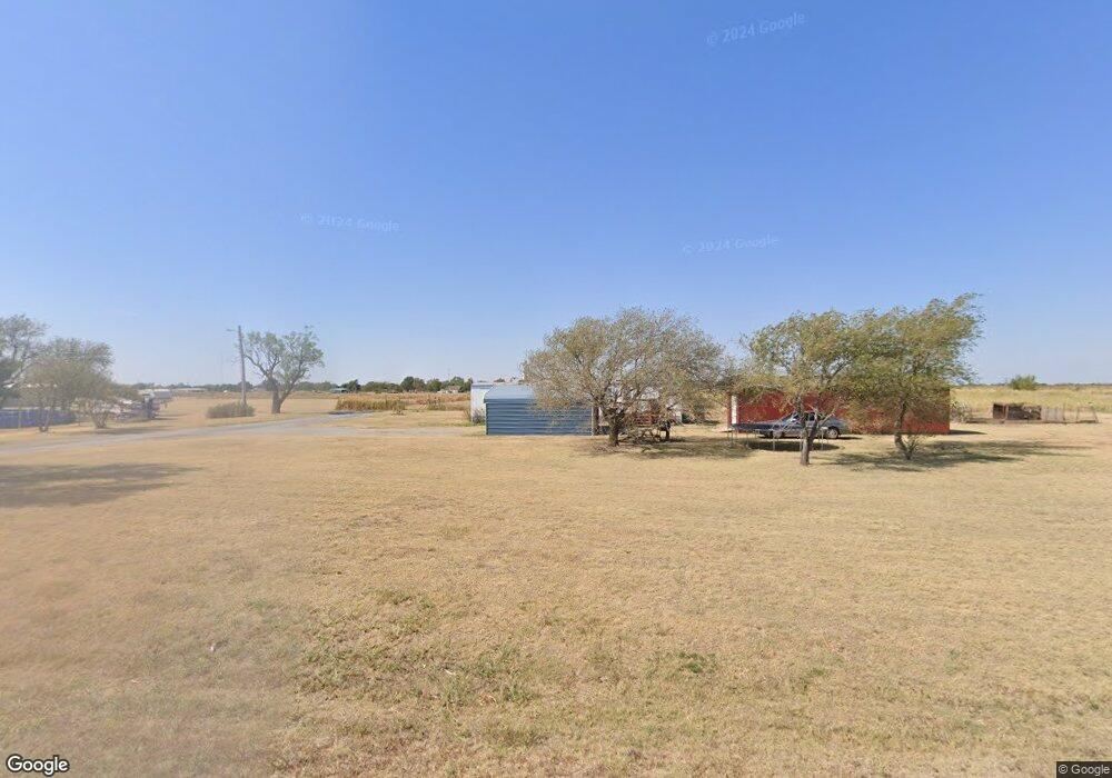
213 E Boundry Lone Wolf, OK 73655
Estimated Value: $117,000 - $194,000
3
Beds
2
Baths
2,375
Sq Ft
$72/Sq Ft
Est. Value
About This Home
This home is located at 213 E Boundry, Lone Wolf, OK 73655 and is currently estimated at $171,249, approximately $72 per square foot. 213 E Boundry is a home located in Kiowa County with nearby schools including Lone Wolf Elementary School and Lone Wolf High School.
Ownership History
Date
Name
Owned For
Owner Type
Purchase Details
Closed on
Apr 2, 2014
Sold by
Michael Michael and Schmidt Tally
Bought by
Vitale Dr and Vitale Neil Barry
Current Estimated Value
Purchase Details
Closed on
Apr 1, 2014
Sold by
Schmidt Michael and Schmidt Tally
Bought by
Vitale Dr. Neil Barry
Purchase Details
Closed on
Mar 21, 2013
Sold by
Morehead Nicole B
Bought by
Schmidt Michael and Schmidt Tally
Purchase Details
Closed on
Nov 30, 2004
Sold by
Hanlin
Bought by
Moorehead
Purchase Details
Closed on
May 23, 2002
Sold by
Hess
Bought by
Morehead
Purchase Details
Closed on
Jun 1, 2000
Sold by
Hess
Bought by
Morehead
Create a Home Valuation Report for This Property
The Home Valuation Report is an in-depth analysis detailing your home's value as well as a comparison with similar homes in the area
Purchase History
| Date | Buyer | Sale Price | Title Company |
|---|---|---|---|
| Vitale Dr | -- | -- | |
| Vitale Dr. Neil Barry | $155,000 | -- | |
| Schmidt Michael | $155,000 | -- | |
| Moorehead | -- | -- | |
| Morehead | $32,500 | -- | |
| Morehead | $32,500 | -- |
Source: Public Records
Tax History
| Year | Tax Paid | Tax Assessment Tax Assessment Total Assessment is a certain percentage of the fair market value that is determined by local assessors to be the total taxable value of land and additions on the property. | Land | Improvement |
|---|---|---|---|---|
| 2025 | $1,270 | $16,411 | $235 | $16,176 |
| 2024 | $1,144 | $16,376 | $235 | $16,141 |
| 2023 | $1,109 | $15,899 | $235 | $15,664 |
| 2022 | $1,077 | $15,464 | $235 | $15,229 |
| 2021 | $1,077 | $15,464 | $235 | $15,229 |
| 2020 | $1,106 | $15,857 | $235 | $15,622 |
| 2019 | $1,269 | $16,064 | $235 | $15,829 |
| 2018 | $1,229 | $15,597 | $235 | $15,362 |
| 2017 | $1,194 | $14,865 | $235 | $14,630 |
| 2016 | $1,129 | $14,432 | $235 | $14,197 |
| 2015 | $941 | $14,011 | $235 | $13,776 |
| 2014 | $1,233 | $17,050 | $242 | $16,808 |
Source: Public Records
Map
Nearby Homes
- 508 Slocum Ave
- 20838 E County Road 1400
- 20746 E 1460 Rd Unit 57
- 7 Hick's Mountain Rd
- 23 Hick's Mountain Rd
- 6 Hick's Mountain Rd
- 83 Hick's Mountain Rd
- 1002 Bodenstein Terrace
- 201 S Park Rd
- 310 N Park Rd
- 401 N Stephens St
- 20826 E 1470 Rd
- 116 Gaynelle Ln
- 216 N Hitchcock St
- 127 S Randlett St
- 21821 E County Road 1390
- 109 N Randlett St
- 324 W 4th St
- 300 N Lowe St
- 501 N Windle St
Your Personal Tour Guide
Ask me questions while you tour the home.