213 Fort Path Rd Madison, CT 06443
Estimated Value: $514,840 - $566,000
About This Home
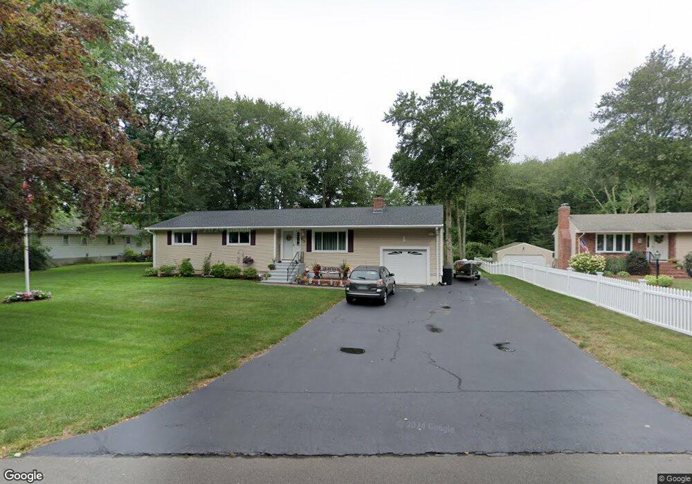
This home is located at 213 Fort Path Rd, Madison, CT 06443 and is currently estimated at $545,210, approximately $400 per square foot. 213 Fort Path Rd is a home located in New Haven County with nearby schools including Walter C. Polson Upper Middle School, Daniel Hand High School, and Our Lady of Mercy Preparatory Academy.
Ownership History
We collect this data history from publicly available records. To have your information removed, we recommend requesting removal directly through your county’s website.
Purchase Details
Purchase Details
Home Values in the Area
Average Home Value in this Area
Purchase History
We collect this data history from publicly available records. To have your information removed, we recommend requesting removal directly through your county’s website.
| Date | Buyer | Sale Price | Title Company |
|---|---|---|---|
| $155,000 | -- | ||
| $165,000 | -- |
Mortgage History
We collect this data history from publicly available records. To have your information removed, we recommend requesting removal directly through your county’s website.
| Date | Status | Borrower | Loan Amount |
|---|---|---|---|
| Open | $67,000 | ||
| Closed | $43,000 | ||
| Open | $248,000 | ||
| Closed | $155,000 |
Tax History
We collect this data history from publicly available records. To have your information removed, we recommend requesting removal directly through your county’s website.
| Year | Tax Paid | Tax Assessment Tax Assessment Total Assessment is a certain percentage of the fair market value that is determined by local assessors to be the total taxable value of land and additions on the property. | Land | Improvement |
|---|---|---|---|---|
| 2025 | $6,642 | $296,100 | $114,400 | $181,700 |
| 2024 | $6,514 | $296,100 | $114,400 | $181,700 |
| 2023 | $5,928 | $197,800 | $88,000 | $109,800 |
| 2022 | $5,817 | $197,800 | $88,000 | $109,800 |
| 2021 | $5,162 | $197,800 | $88,000 | $109,800 |
| 2020 | $5,608 | $197,800 | $88,000 | $109,800 |
| 2019 | $5,608 | $197,800 | $88,000 | $109,800 |
| 2018 | $5,628 | $200,700 | $90,700 | $110,000 |
| 2017 | $4,756 | $200,700 | $90,700 | $110,000 |
| 2016 | $5,317 | $200,700 | $90,700 | $110,000 |
| 2015 | $5,170 | $200,700 | $90,700 | $110,000 |
| 2014 | $5,505 | $218,700 | $120,100 | $98,600 |
Map
- 10 Salem Rd
- 31 Stony Lane Lot 2 Rd
- 31 Stony Lane Lot 1 Rd
- 37 Lantern Hill Rd
- 73 Garnet Park Rd
- 18 Riverside Terrace
- 85 Garnet Park Rd
- 21 Centre Village Dr
- 20 Centre Village Dr Unit 20
- 99 Garnet Park Rd
- 101 Garnet Park Rd
- 94 Warpas Rd
- 30 Meeting House Ln
- 3 Arrowhead Rd
- 53 Wellsweep Dr
- 23 Sheep Pasture Rd
- 8 Old Route 79
- 26 Bassett Ln
- 4 Boston Post Rd
- 24 Indigo Trail
- 59 Johnson Ln
- 217 Fort Path Rd
- 53 Johnson Ln
- 49 Johnson Ln
- 221 Fort Path Rd
- 60 Johnson Ln
- 218 Fort Path Rd
- 45 Johnson Ln
- 56 Johnson Ln
- 227 Fort Path Rd
- 214 Fort Path Rd
- 52 Johnson Ln
- 197 Fort Path Rd
- 224 Fort Path Rd
- 41 Johnson Ln
- 208 Fort Path Rd
- 48 Johnson Ln
- 233 Fort Path Rd
- 44 Johnson Ln
- 230 Fort Path Rd
Ask me questions while you tour the home.