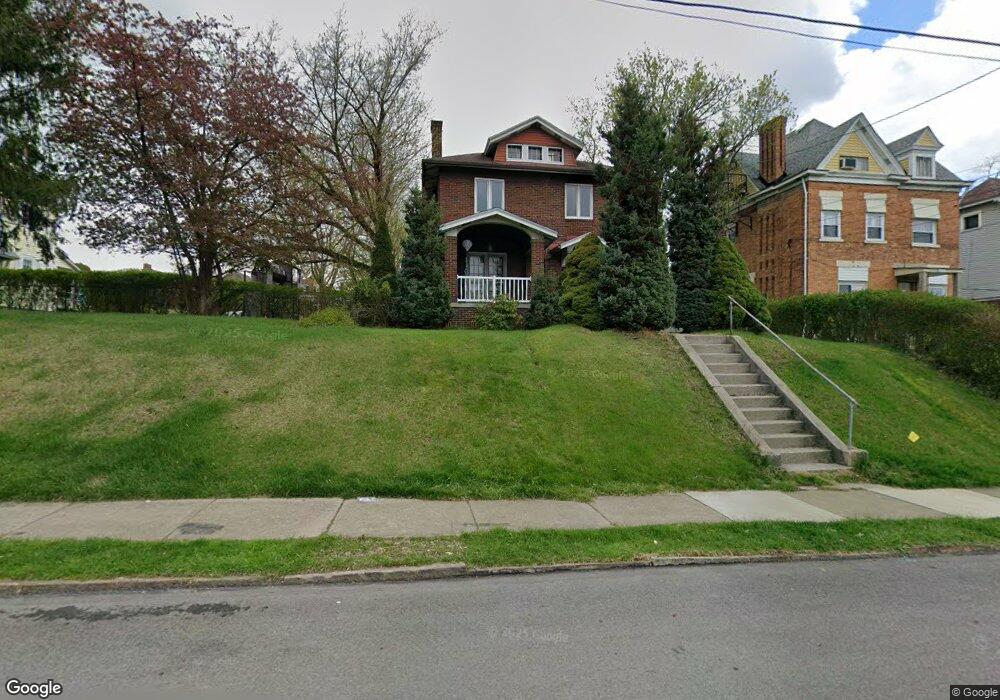
213 Grant Ave Bellevue, PA 15202
Estimated Value: $237,000 - $284,000
3
Beds
1
Bath
2,054
Sq Ft
$125/Sq Ft
Est. Value
About This Home
This home is located at 213 Grant Ave, Bellevue, PA 15202 and is currently estimated at $257,443, approximately $125 per square foot. 213 Grant Ave is a home located in Allegheny County with nearby schools including Northgate Middle School/High School, Propel Schools - Northside, and Manchester Academic Charter School.
Ownership History
Date
Name
Owned For
Owner Type
Purchase Details
Closed on
Dec 20, 2006
Sold by
Cercone Michael
Bought by
Reynolds Edgar
Current Estimated Value
Home Financials for this Owner
Home Financials are based on the most recent Mortgage that was taken out on this home.
Original Mortgage
$100,424
Outstanding Balance
$60,174
Interest Rate
6.35%
Mortgage Type
FHA
Estimated Equity
$197,269
Purchase Details
Closed on
Sep 29, 2000
Sold by
Guerra Dominick and Guerra Helen
Bought by
Cercone Michel
Create a Home Valuation Report for This Property
The Home Valuation Report is an in-depth analysis detailing your home's value as well as a comparison with similar homes in the area
Home Values in the Area
Average Home Value in this Area
Purchase History
| Date | Buyer | Sale Price | Title Company |
|---|---|---|---|
| Reynolds Edgar | $102,000 | -- | |
| Cercone Michel | $76,000 | -- |
Source: Public Records
Mortgage History
| Date | Status | Borrower | Loan Amount |
|---|---|---|---|
| Open | Reynolds Edgar | $100,424 |
Source: Public Records
Tax History
| Year | Tax Paid | Tax Assessment Tax Assessment Total Assessment is a certain percentage of the fair market value that is determined by local assessors to be the total taxable value of land and additions on the property. | Land | Improvement |
|---|---|---|---|---|
| 2025 | $4,253 | $110,500 | $23,200 | $87,300 |
| 2024 | $4,253 | $110,500 | $23,200 | $87,300 |
| 2023 | $4,082 | $110,500 | $23,200 | $87,300 |
| 2022 | $3,971 | $110,500 | $23,200 | $87,300 |
| 2021 | $3,971 | $110,500 | $23,200 | $87,300 |
| 2020 | $3,881 | $110,500 | $23,200 | $87,300 |
| 2019 | $3,802 | $110,500 | $23,200 | $87,300 |
| 2017 | $3,802 | $110,500 | $23,200 | $87,300 |
Source: Public Records
Map
Nearby Homes
- 138 Kendall Ave
- 234 Shiloh Ave
- 109 S Harrison Ave
- 73 S Fremont Ave
- 29 S Bryant Ave
- 301 Lincoln Ave
- 499 Roosevelt Ave
- 10 N Bryant Ave
- 17-19 N Bryant Ave
- 258 Brighton Rd
- 30 Ohio St
- 76 Sumner Ave
- 4022 Oswald St
- 471 Lincoln Ave
- 206 Brighton Rd
- 78 N Bryant Ave
- 69 Orchard St
- 3718 Millerton Ave
- 634 Madison Ave
- 1905 Termon Ave
Your Personal Tour Guide
Ask me questions while you tour the home.