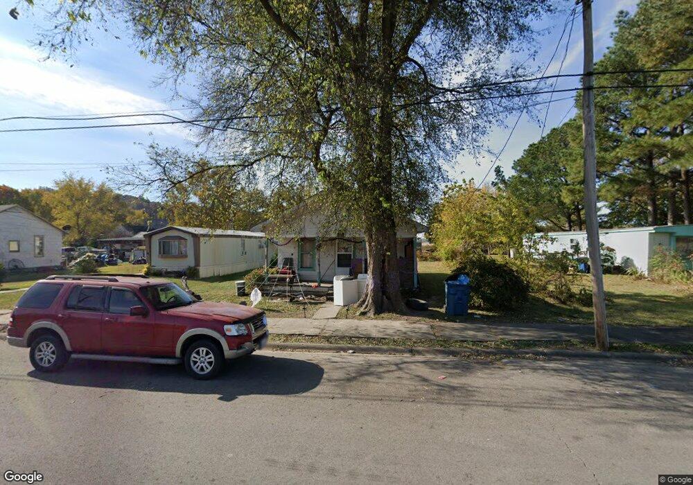
213 Main St Gorham, IL 62940
Estimated Value: $44,326 - $99,000
Studio
--
Bath
600
Sq Ft
$108/Sq Ft
Est. Value
About This Home
This home is located at 213 Main St, Gorham, IL 62940 and is currently estimated at $65,082, approximately $108 per square foot. 213 Main St is a home with nearby schools including Murphysboro High School.
Ownership History
Date
Name
Owned For
Owner Type
Purchase Details
Closed on
Aug 8, 2019
Sold by
Whitson Sharon
Bought by
Cason Chastity N
Current Estimated Value
Purchase Details
Closed on
Aug 2, 2019
Sold by
Whitson Sharon
Bought by
Cason Chastity N
Purchase Details
Closed on
Jul 11, 2019
Sold by
Whitson Giles and Maulsby Anna
Bought by
Whitson Sharon
Purchase Details
Closed on
Jul 5, 2019
Sold by
Whitson Giles and Maulsby Anna
Bought by
Whitson Sharon
Purchase Details
Closed on
Apr 25, 2011
Sold by
Whitson Giles Arthur
Bought by
Whitson Giles Arthur and Whitson Anna Mae
Purchase Details
Closed on
Feb 9, 2007
Sold by
Whitson Giles Arthur
Bought by
Whitson Giles Arthur and Whitson Anna Mae
Create a Home Valuation Report for This Property
The Home Valuation Report is an in-depth analysis detailing your home's value as well as a comparison with similar homes in the area
Purchase History
| Date | Buyer | Sale Price | Title Company |
|---|---|---|---|
| Cason Chastity N | -- | -- | |
| Cason Chastity N | -- | None Available | |
| Whitson Sharon | -- | None Available | |
| Whitson Sharon | -- | -- | |
| Whitson Giles Arthur | -- | None Available | |
| Whitson Giles Arthur | -- | None Available |
Source: Public Records
Tax History
| Year | Tax Paid | Tax Assessment Tax Assessment Total Assessment is a certain percentage of the fair market value that is determined by local assessors to be the total taxable value of land and additions on the property. | Land | Improvement |
|---|---|---|---|---|
| 2024 | $162 | $5,001 | $687 | $4,314 |
| 2023 | $165 | $4,449 | $611 | $3,838 |
| 2022 | $166 | $4,033 | $554 | $3,479 |
| 2021 | $168 | $3,877 | $533 | $3,344 |
| 2020 | $173 | $4,234 | $831 | $3,403 |
| 2019 | $432 | $4,161 | $817 | $3,344 |
| 2018 | $417 | $4,161 | $817 | $3,344 |
| 2017 | $429 | $4,161 | $817 | $3,344 |
| 2016 | $389 | $4,161 | $817 | $3,344 |
| 2015 | -- | $4,161 | $817 | $3,344 |
| 2014 | -- | $4,161 | $817 | $3,344 |
| 2012 | -- | $4,930 | $817 | $4,113 |
Source: Public Records
Map
Nearby Homes
- 205 Jefferson St
- 1219 Indian Ridge Rd
- 0000 Forest Rd
- 1300 Shoal Creek Rd
- 612 3rd Ave
- 676 Swan Pond Rd
- 5435 Hickory Ridge Rd
- 2229 Town Creek Rd
- 8384 Hickory Ridge Rd
- 9112 Main St
- 37 Westwood Ln
- 8 Buena Vista Dr
- 2237 Roblee Ave
- 2308 Alexander St
- 513 County Rd
- 2123 Clay St
- 115 Mount Joy Rd
- 103 S 22nd St
- 103 N 22nd St
- 701 S 20th St
Your Personal Tour Guide
Ask me questions while you tour the home.