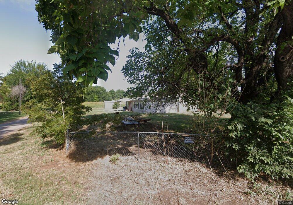
213 S Pearson Ave Comanche, OK 73529
Estimated Value: $71,338 - $183,000
About This Home
This home is located at 213 S Pearson Ave, Comanche, OK 73529 and is currently estimated at $104,835, approximately $114 per square foot. 213 S Pearson Ave is a home located in Stephens County with nearby schools including Comanche Elementary School, Comanche Middle School, and Comanche High School.
Ownership History
We collect this data history from publicly available records. To have your information removed, we recommend requesting removal directly through your county’s website.
Purchase Details
Purchase Details
Purchase Details
Purchase Details
Purchase History
We collect this data history from publicly available records. To have your information removed, we recommend requesting removal directly through your county’s website.
| Date | Buyer | Sale Price | Title Company |
|---|---|---|---|
| -- | None Available | ||
| -- | None Available | ||
| $500 | -- | ||
| $1,000 | -- |
Tax History
We collect this data history from publicly available records. To have your information removed, we recommend requesting removal directly through your county’s website.
| Year | Tax Paid | Tax Assessment Tax Assessment Total Assessment is a certain percentage of the fair market value that is determined by local assessors to be the total taxable value of land and additions on the property. | Land | Improvement |
|---|---|---|---|---|
| 2025 | $628 | $7,196 | $289 | $6,907 |
| 2024 | $618 | $6,970 | $289 | $6,681 |
| 2023 | $618 | $6,638 | $289 | $6,349 |
| 2022 | $577 | $6,696 | $289 | $6,407 |
| 2021 | $588 | $6,377 | $289 | $6,088 |
| 2020 | $530 | $5,785 | $289 | $5,496 |
| 2019 | $538 | $5,597 | $289 | $5,308 |
| 2018 | $542 | $5,665 | $289 | $5,376 |
| 2017 | $470 | $5,747 | $289 | $5,458 |
| 2016 | $449 | $5,343 | $198 | $5,145 |
| 2015 | $358 | $5,089 | $165 | $4,924 |
| 2014 | $358 | $5,089 | $165 | $4,924 |
Map
- 411 N 2nd St
- 508 Wilson Ave
- 709 Hickory Ave
- 612 Brown Ave
- 601 North Ave
- 610 North Ave
- 303 N 8th St
- 279445 E 1780 Rd
- Rt Rt 2
- 114 Apache Dr
- 117 Seminole Dr
- 280580 State Highway 53
- 282353 E 1800 Rd
- 181473 N 2850 Rd
- 281878 E 1800 Rd
- 282096 Andrews Dr
- 282553 Sunray Dr
- 182248 N 2790 Rd
- 282187 Oliver Dr
- 183023 N 2790 Rd
- 100 E Patterson Ave
- 219 E Patterson Ave
- 211 S Pearson Ave
- 403 S 1st St
- 1810 Hill Rd
- 307 S 1st St
- 105 Walnut Ave
- 301 S 1st St
- 407 S 1st St
- 411 S 1st St
- 110 Patterson Ave
- 101 Ash Ave
- 101 Patterson Ave
- 312 S 2nd St
- 310 S 2nd St
- 114 S Pearson Ave
- 210 210 Hill Ave
- 109 S Bunch Ave
- 210 Hill Rd
- 210 210 Hill N
Ask me questions while you tour the home.