213 Spath Rd Sequim, WA 98382
Estimated Value: $523,000 - $682,000
3
Beds
2
Baths
1,244
Sq Ft
$495/Sq Ft
Est. Value
About This Home
This home is located at 213 Spath Rd, Sequim, WA 98382 and is currently estimated at $616,088, approximately $495 per square foot. 213 Spath Rd is a home located in Clallam County with nearby schools including Greywolf Elementary School, Sequim Middle School, and Sequim Senior High School.
Ownership History
Date
Name
Owned For
Owner Type
Purchase Details
Closed on
Sep 10, 2005
Sold by
Schneider Stephen J
Bought by
Schneider Richard J and Schneider Mary Anne
Current Estimated Value
Home Financials for this Owner
Home Financials are based on the most recent Mortgage that was taken out on this home.
Original Mortgage
$176,374
Outstanding Balance
$94,123
Interest Rate
5.81%
Mortgage Type
New Conventional
Estimated Equity
$521,965
Create a Home Valuation Report for This Property
The Home Valuation Report is an in-depth analysis detailing your home's value as well as a comparison with similar homes in the area
Purchase History
We collect this data history from publicly available records. To have your information removed, we recommend requesting removal directly through your county’s website.
| Date | Buyer | Sale Price | Title Company |
|---|---|---|---|
| Schneider Richard J | $225,000 | Olympic Peninsula Title Co |
Source: Public Records
Mortgage History
We collect this data history from publicly available records. To have your information removed, we recommend requesting removal directly through your county’s website.
| Date | Status | Borrower | Loan Amount |
|---|---|---|---|
| Open | Schneider Richard J | $176,374 |
Source: Public Records
Tax History
| Year | Tax Paid | Tax Assessment Tax Assessment Total Assessment is a certain percentage of the fair market value that is determined by local assessors to be the total taxable value of land and additions on the property. | Land | Improvement |
|---|---|---|---|---|
| 2025 | $4,734 | $637,932 | $200,025 | $437,907 |
| 2023 | $4,734 | $635,631 | $200,025 | $435,606 |
| 2022 | $4,613 | $622,994 | $190,500 | $432,494 |
| 2021 | $4,284 | $503,661 | $112,834 | $390,827 |
| 2020 | $4,464 | $430,904 | $107,461 | $323,443 |
| 2018 | $3,852 | $404,910 | $107,461 | $297,449 |
| 2017 | $3,154 | $332,594 | $107,461 | $225,133 |
| 2016 | $2,559 | $334,193 | $107,461 | $226,732 |
| 2015 | $2,559 | $257,969 | $107,461 | $150,508 |
| 2013 | $2,559 | $243,559 | $107,461 | $136,098 |
| 2012 | $2,559 | $255,499 | $119,401 | $136,098 |
Source: Public Records
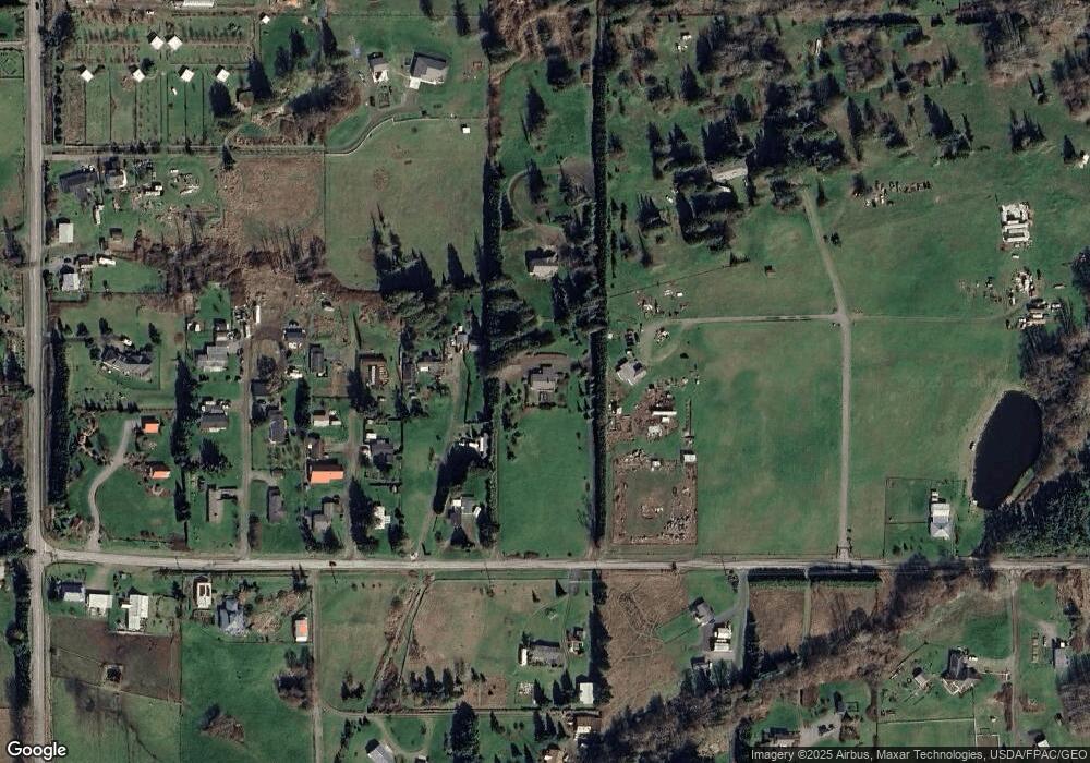
Map
Nearby Homes
- 10 Davenhill Ln
- 94 Raccoon Rd
- 153 Davidson Dr
- 379 Dorothy Hunt Ln Unit Parcel B
- 375 Dorothy Hunt Ln Unit Parcel A
- 999 Spath Rd
- 101 Joslin Rd
- 0 Parrish Rd
- 59 NKA Parrish Rd
- 143 Moonshadow Ln
- 132 Moonshadow Ln
- 123 Moonshadow Ln
- 124 Moonshadow Ln
- 114 Moonshadow Ln
- 111 Moonshadow Ln
- 121 Moonshadow Ln
- 72 Moonshadow Ln
- 21 Moonshadow Ln
- 35 Moonshadow Ln
- 103 Moonshadow Ln
- 173 Spath Rd Unit ARD
- 171 Spath Rd
- 245 Spath Rd
- 183 Spath Rd
- 80 Lazy Ln
- 40 Lazy Ln
- 81 Lazy Ln
- 11 Lazy Ln
- 50 Apple Blossom Ln
- 40 Apple Blossom Ln
- 31 Apple Blossom Ln
- 18 Camelot Rd
- 13 Spath Rd
- 67 Camelot Rd
- 61 Camelot Rd
- 0 Nka Spath (2 87 Acres) Rd Unit 29075426
- 562 Kitchen Dick Rd
- 413 Spath Rd
- 644 Kitchen Dick Rd
- 99999 Spath Rd
Your Personal Tour Guide
Ask me questions while you tour the home.