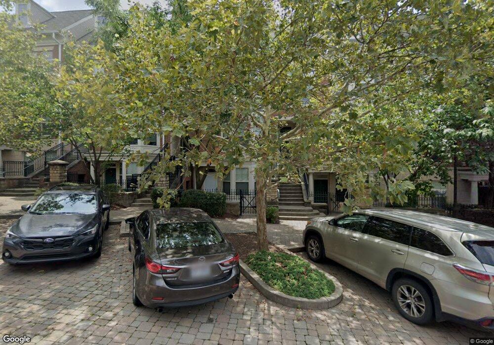
213 Stetson St Cincinnati, OH 45219
Corryville NeighborhoodEstimated Value: $345,730 - $410,000
2
Beds
3
Baths
1,641
Sq Ft
$230/Sq Ft
Est. Value
About This Home
This home is located at 213 Stetson St, Cincinnati, OH 45219 and is currently estimated at $377,683, approximately $230 per square foot. 213 Stetson St is a home located in Hamilton County with nearby schools including William H. Taft Elementary School, Robert A. Taft Information Technology High School, and Clark Montessori High School.
Ownership History
Date
Name
Owned For
Owner Type
Purchase Details
Closed on
Sep 22, 2008
Sold by
Stetson Square Builders Llc
Bought by
Degannes Forde Angela and Forde Tiffany L
Current Estimated Value
Home Financials for this Owner
Home Financials are based on the most recent Mortgage that was taken out on this home.
Original Mortgage
$216,900
Outstanding Balance
$144,078
Interest Rate
6.75%
Mortgage Type
Adjustable Rate Mortgage/ARM
Estimated Equity
$233,605
Create a Home Valuation Report for This Property
The Home Valuation Report is an in-depth analysis detailing your home's value as well as a comparison with similar homes in the area
Home Values in the Area
Average Home Value in this Area
Purchase History
| Date | Buyer | Sale Price | Title Company |
|---|---|---|---|
| Degannes Forde Angela | $309,900 | First Title Agency |
Source: Public Records
Mortgage History
| Date | Status | Borrower | Loan Amount |
|---|---|---|---|
| Open | Degannes Forde Angela | $216,900 |
Source: Public Records
Tax History
| Year | Tax Paid | Tax Assessment Tax Assessment Total Assessment is a certain percentage of the fair market value that is determined by local assessors to be the total taxable value of land and additions on the property. | Land | Improvement |
|---|---|---|---|---|
| 2025 | $6,678 | $108,633 | $14,945 | $93,688 |
| 2023 | $6,621 | $108,633 | $14,945 | $93,688 |
| 2022 | $6,023 | $88,652 | $14,420 | $74,232 |
| 2021 | $5,800 | $88,652 | $14,420 | $74,232 |
| 2020 | $5,971 | $88,652 | $14,420 | $74,232 |
| 2019 | $6,566 | $86,069 | $14,000 | $72,069 |
| 2018 | $1,074 | $86,069 | $14,000 | $72,069 |
| 2017 | $1,034 | $86,069 | $14,000 | $72,069 |
| 2016 | $1,039 | $100,982 | $13,720 | $87,262 |
| 2015 | $925 | $100,982 | $13,720 | $87,262 |
| 2014 | $930 | $100,982 | $13,720 | $87,262 |
| 2013 | $966 | $103,044 | $14,000 | $89,044 |
Source: Public Records
Map
Nearby Homes
- 215 Stetson St
- 207 Stetson St
- 2923 Bellevue Ave
- 2917 Bellevue Ave
- 2913 Eden Ave
- 218 Fosdick St
- 3012 Burnet Ave
- 2656 Bellevue Ave
- 2605 Eden Ave
- 3213 Vine St
- 61 William Howard Taft Rd
- 3212 Glendora Ave
- 112 E Mcmillan St
- 610 Crown St
- 567 Stewart Place
- 3280 Jefferson Ave
- 2427 Dover St
- 268 Mccormick Place
- 2344 Highland Ave
- 238 Helen St
- 215 Stetson St Unit G-E1
- 223 Stetson St
- 219 Stetson St Unit 219
- 221 Stetson St
- 211 Stetson St
- 225 Stetson St
- 209 Stetson St
- 217 Stetson St
- 227 Stetson St
- 229 Stetson St
- 214 Stetson St Unit A
- 214 Stetson St Unit 1
- 222 Stetson St Unit E
- 222 Stetson St Unit E2
- 222 Stetson St Unit F1-E2
- 224 Stetson St Unit A
- 216 Stetson St
- 216 Stetson St Unit F1-D1
- 218 Stetson St Unit EW
- 212 Stetson St
Your Personal Tour Guide
Ask me questions while you tour the home.