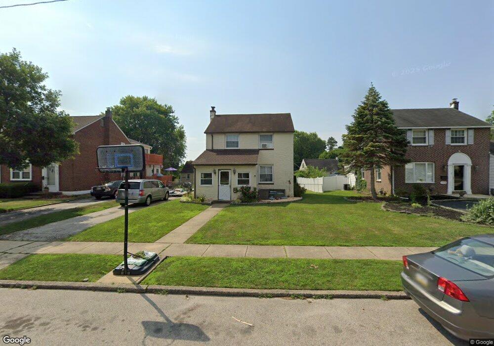
2132 Pershing Ave Morton, PA 19070
Estimated Value: $347,000 - $375,000
About This Home
This home is located at 2132 Pershing Ave, Morton, PA 19070 and is currently estimated at $357,859, approximately $301 per square foot. 2132 Pershing Ave is a home located in Delaware County with nearby schools including Amosland El School, Ridley Middle School, and Ridley High School.
Ownership History
We collect this data history from publicly available records. To have your information removed, we recommend requesting removal directly through your county’s website.
Purchase Details
Home Financials for this Owner
Home Financials are based on the most recent Mortgage that was taken out on this home.Purchase Details
Home Financials for this Owner
Home Financials are based on the most recent Mortgage that was taken out on this home.Home Values in the Area
Average Home Value in this Area
Purchase History
We collect this data history from publicly available records. To have your information removed, we recommend requesting removal directly through your county’s website.
| Date | Buyer | Sale Price | Title Company |
|---|---|---|---|
| -- | None Available | ||
| $144,000 | -- |
Mortgage History
We collect this data history from publicly available records. To have your information removed, we recommend requesting removal directly through your county’s website.
| Date | Status | Borrower | Loan Amount |
|---|---|---|---|
| Closed | $180,000 | ||
| Closed | $129,600 |
Tax History
We collect this data history from publicly available records. To have your information removed, we recommend requesting removal directly through your county’s website.
| Year | Tax Paid | Tax Assessment Tax Assessment Total Assessment is a certain percentage of the fair market value that is determined by local assessors to be the total taxable value of land and additions on the property. | Land | Improvement |
|---|---|---|---|---|
| 2026 | $7,334 | $188,980 | $72,010 | $116,970 |
| 2025 | $6,562 | $188,980 | $72,010 | $116,970 |
| 2024 | $6,562 | $188,980 | $72,010 | $116,970 |
| 2023 | $6,276 | $188,980 | $72,010 | $116,970 |
| 2022 | $6,075 | $188,980 | $72,010 | $116,970 |
| 2021 | $9,404 | $188,980 | $72,010 | $116,970 |
| 2020 | $6,277 | $111,110 | $36,680 | $74,430 |
| 2019 | $6,162 | $111,110 | $36,680 | $74,430 |
| 2018 | $6,085 | $111,110 | $0 | $0 |
| 2017 | $6,085 | $111,110 | $0 | $0 |
| 2016 | $610 | $111,110 | $0 | $0 |
| 2015 | $610 | $111,110 | $0 | $0 |
| 2014 | $610 | $111,110 | $0 | $0 |
Map
- 718 Pearl Ave
- 2135 Armstrong Ave
- 646 Amosland Rd
- 716 Brooke Cir
- 752 Kedron Ave
- 605 Circle Terrace
- 905 Amosland Rd
- 816 Mitchell Ave
- 542 Stanbridge Rd
- 31 Faraday Ct
- 649 Hutchinson Terrace
- 2225 Theresa Ave
- 1949 Forrest Ave
- 2147 Franklin Ave
- 522 Amosland Rd
- 431 Holmes Rd
- 2400 Grand Ave
- 2608 Wood Rd
- 2323 Mole Rd
- 206 President Ave
Ask me questions while you tour the home.