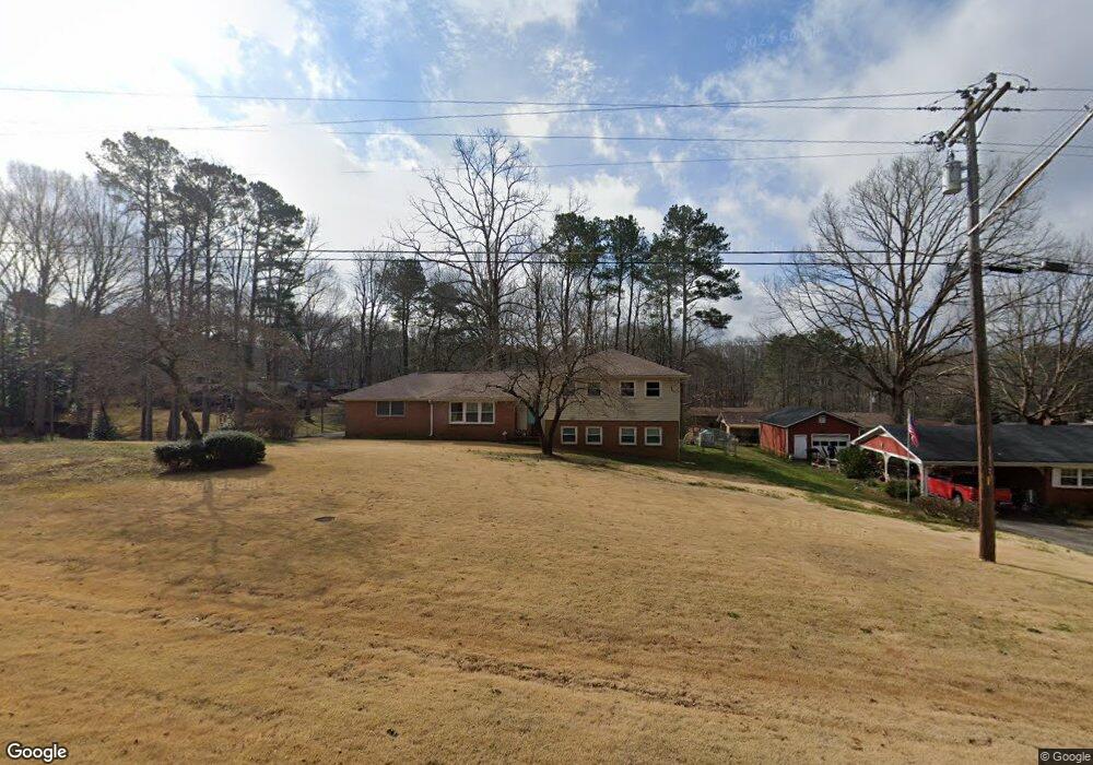
2133 Mcduffie Rd Unit 4 Austell, GA 30106
Estimated Value: $303,487 - $352,000
About This Home
This home is located at 2133 Mcduffie Rd Unit 4, Austell, GA 30106 and is currently estimated at $322,122, approximately $249 per square foot. 2133 Mcduffie Rd Unit 4 is a home located in Cobb County with nearby schools including Clarkdale Elementary School, Garrett Middle School, and South Cobb High School.
Ownership History
We collect this data history from publicly available records. To have your information removed, we recommend requesting removal directly through your county’s website.
Purchase Details
Home Financials for this Owner
Home Financials are based on the most recent Mortgage that was taken out on this home.Purchase Details
Home Values in the Area
Average Home Value in this Area
Purchase History
We collect this data history from publicly available records. To have your information removed, we recommend requesting removal directly through your county’s website.
| Date | Buyer | Sale Price | Title Company |
|---|---|---|---|
| $176,500 | -- | ||
| $97,000 | -- |
Mortgage History
We collect this data history from publicly available records. To have your information removed, we recommend requesting removal directly through your county’s website.
| Date | Status | Borrower | Loan Amount |
|---|---|---|---|
| Open | $176,500 |
Tax History
We collect this data history from publicly available records. To have your information removed, we recommend requesting removal directly through your county’s website.
| Year | Tax Paid | Tax Assessment Tax Assessment Total Assessment is a certain percentage of the fair market value that is determined by local assessors to be the total taxable value of land and additions on the property. | Land | Improvement |
|---|---|---|---|---|
| 2025 | $2,487 | $106,812 | $24,000 | $82,812 |
| 2024 | $2,489 | $106,812 | $24,000 | $82,812 |
| 2023 | $1,923 | $105,740 | $14,000 | $91,740 |
| 2022 | $2,248 | $94,944 | $14,000 | $80,944 |
| 2021 | $1,536 | $62,388 | $11,200 | $51,188 |
| 2020 | $1,536 | $62,388 | $11,200 | $51,188 |
| 2019 | $1,536 | $62,388 | $11,200 | $51,188 |
| 2018 | $1,290 | $51,516 | $11,200 | $40,316 |
| 2017 | $1,224 | $51,516 | $11,200 | $40,316 |
| 2016 | $1,011 | $44,072 | $7,200 | $36,872 |
| 2015 | $416 | $22,940 | $7,200 | $15,740 |
| 2014 | $419 | $22,940 | $0 | $0 |
Map
- 2034 Drennon Ave
- 2026 Drennon Ave
- 2085 Lenoa Ln
- 2083 Lenoa Ln
- 2081 Lenoa Ln
- 2082 Lenoa Ln
- 4576 Driftwood Dr
- 1972 Drennon Ave
- 2057 Lenoa Ln
- 4371 Yellow Rose Dr
- 1979 Stonecrest Ct
- 2060 Lenoa Ln
- 2332 Shire Ct Unit 11
- 2050 Lenoa Ln
- 4470 Austell Rd
- 2373 Buckley Ct
- 2353 Shire Ct
- 1971 Anderson Mill Rd
- 1812 Fabian Way SW
- 4809 Hemlock Dr
- 2109 Mcduffie Rd
- 4541 Hemlock Dr
- 2093 Mcduffie Rd
- 4505 Sparrowhawk Place
- 4505 Sparrowhawk Place SW
- 2100 Plum Ln
- 4551 Hemlock Dr
- 4500 Sparrowhawk Place
- 2145 Mcduffie Rd
- 2115 Sparrowhawk Ct
- 4490 Sparrowhawk Place SW
- 2105 Sparrowhawk Ct
- 2063 Mcduffie Rd
- 4571 Hemlock Dr
- 2101 Plum Ln Unit 2101
- 2101 Plum Ln Unit 5
- 2101 Plum Ln
- Lot 16 Sparrowhawk Place
- Lot 9 Sparrowhawk Place
- Lot 8 Sparrowhawk Place
Ask me questions while you tour the home.