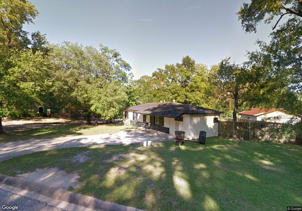
2136 Baker Rd Mobile, AL 36618
Autumndale NeighborhoodEstimated Value: $93,536 - $147,000
Studio
2
Baths
1,376
Sq Ft
$89/Sq Ft
Est. Value
About This Home
This home is located at 2136 Baker Rd, Mobile, AL 36618 and is currently estimated at $122,134, approximately $88 per square foot. 2136 Baker Rd is a home located in Mobile County with nearby schools including Forest Hill Elementary School, CL Scarborough Middle School, and Mattie T Blount High School.
Ownership History
Date
Name
Owned For
Owner Type
Purchase Details
Closed on
Jun 17, 2000
Sold by
Sims Jannice M
Bought by
Wilson Christopher C and Wilson Angela Y
Current Estimated Value
Home Financials for this Owner
Home Financials are based on the most recent Mortgage that was taken out on this home.
Original Mortgage
$64,966
Outstanding Balance
$21,986
Interest Rate
8.27%
Mortgage Type
FHA
Estimated Equity
$100,148
Create a Home Valuation Report for This Property
The Home Valuation Report is an in-depth analysis detailing your home's value as well as a comparison with similar homes in the area
Home Values in the Area
Average Home Value in this Area
Purchase History
| Date | Buyer | Sale Price | Title Company |
|---|---|---|---|
| Wilson Christopher C | -- | -- |
Source: Public Records
Mortgage History
| Date | Status | Borrower | Loan Amount |
|---|---|---|---|
| Open | Wilson Christopher C | $64,966 |
Source: Public Records
Tax History
| Year | Tax Paid | Tax Assessment Tax Assessment Total Assessment is a certain percentage of the fair market value that is determined by local assessors to be the total taxable value of land and additions on the property. | Land | Improvement |
|---|---|---|---|---|
| 2025 | $269 | $5,270 | $1,000 | $4,270 |
| 2024 | $269 | $4,810 | $1,000 | $3,810 |
| 2023 | $249 | $4,750 | $1,000 | $3,750 |
| 2022 | $221 | $4,540 | $1,000 | $3,540 |
| 2021 | $201 | $4,210 | $800 | $3,410 |
| 2020 | $188 | $4,010 | $600 | $3,410 |
| 2019 | $149 | $3,340 | $600 | $2,740 |
| 2018 | $149 | $3,340 | $0 | $0 |
| 2017 | $140 | $3,180 | $0 | $0 |
| 2016 | $337 | $6,360 | $0 | $0 |
| 2013 | $385 | $6,240 | $0 | $0 |
Source: Public Records
Map
Nearby Homes
- 4060 Dickson Ln
- 2113 Cornell Dr
- 2205 Beau Terra Dr W
- 2004 Beau Terra Dr W
- 2210 Wolf Ridge Rd
- 0 Junius Ln
- 1758 La Pine Dr
- 1757 Le Grande Dr
- 871 Kuffskie Ln
- 4409 Eastview Dr
- 1561 Phillips Ln
- 1701 Phillips Ln
- 6632 Monarch Cir
- 21 Brucewood Dr W
- 3531 Anton St
- 3514 Anton St
- 6 Brucewood Dr W
- 4453 Myers Rd
- 1811 Butler St
- 3728 Vinewood Dr
- 2132 Baker Rd
- 3859 Pickett Dr
- 2128 Baker Rd
- 3858 Pickett Cir
- 2137 Baker Rd
- 3855 Pickett Dr
- 2133 Baker Rd
- 3854 Pickett Dr
- 2023 Holleman Cir N
- 2124 Baker Rd
- 2129 Baker Rd
- 3862 Pickett Cir
- 3904 Pickett Cir
- 3907 Pickett Dr
- 3900 Pickett Cir
- 2025 Holleman Cir N
- 2125 Baker Rd
- 2109 Holleman Dr
- 2120 Baker Rd
- 2105 Holleman Dr
Your Personal Tour Guide
Ask me questions while you tour the home.