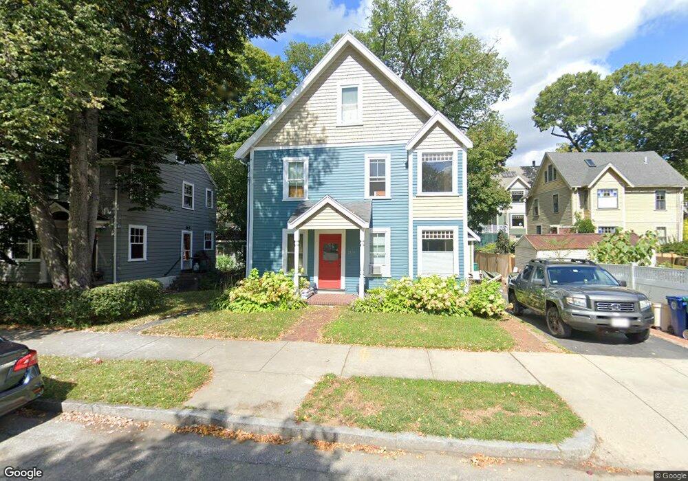
2139 Commonwealth Ave Unit 1 Auburndale, MA 02466
Auburndale NeighborhoodEstimated Value: $1,141,000 - $1,336,000
2
Beds
2
Baths
1,250
Sq Ft
$971/Sq Ft
Est. Value
About This Home
This home is located at 2139 Commonwealth Ave Unit 1, Auburndale, MA 02466 and is currently estimated at $1,214,261, approximately $971 per square foot. 2139 Commonwealth Ave Unit 1 is a home located in Middlesex County with nearby schools including C.C. Burr, F.A. Day Middle School, and Newton North High School.
Ownership History
Date
Name
Owned For
Owner Type
Purchase Details
Closed on
Mar 30, 2001
Sold by
Bank Rt and Bank Eugene M
Bought by
Hunt Denis and Wong-Hunt Louisa Y
Current Estimated Value
Purchase Details
Closed on
Dec 7, 1987
Sold by
Kendall Steven A
Bought by
Desormeaux Paul
Create a Home Valuation Report for This Property
The Home Valuation Report is an in-depth analysis detailing your home's value as well as a comparison with similar homes in the area
Home Values in the Area
Average Home Value in this Area
Purchase History
We collect this data history from publicly available records. To have your information removed, we recommend requesting removal directly through your county’s website.
| Date | Buyer | Sale Price | Title Company |
|---|---|---|---|
| Hunt Denis | $469,000 | -- | |
| Desormeaux Paul | $295,000 | -- |
Source: Public Records
Mortgage History
We collect this data history from publicly available records. To have your information removed, we recommend requesting removal directly through your county’s website.
| Date | Status | Borrower | Loan Amount |
|---|---|---|---|
| Open | Desormeaux Paul | $423,000 | |
| Closed | Desormeaux Paul | $351,900 |
Source: Public Records
Tax History
| Year | Tax Paid | Tax Assessment Tax Assessment Total Assessment is a certain percentage of the fair market value that is determined by local assessors to be the total taxable value of land and additions on the property. | Land | Improvement |
|---|---|---|---|---|
| 2025 | $8,620 | $879,600 | $748,400 | $131,200 |
| 2024 | $8,335 | $854,000 | $726,600 | $127,400 |
| 2023 | $8,064 | $792,100 | $577,900 | $214,200 |
| 2022 | $7,715 | $733,400 | $535,100 | $198,300 |
| 2021 | $7,239 | $672,800 | $490,900 | $181,900 |
| 2020 | $7,024 | $672,800 | $490,900 | $181,900 |
| 2019 | $6,571 | $628,800 | $458,800 | $170,000 |
| 2018 | $6,544 | $604,800 | $430,800 | $174,000 |
| 2017 | $6,170 | $554,900 | $395,200 | $159,700 |
| 2016 | $5,794 | $509,100 | $362,600 | $146,500 |
| 2015 | $5,524 | $475,800 | $338,900 | $136,900 |
Source: Public Records
Map
Nearby Homes
- 283 Melrose St
- 440 Wolcott St
- 349 Auburndale Ave
- 2031 Commonwealth Ave
- 9 Johnson Place Unit 9
- 194 Auburn St
- 75 Auburn St Unit 77
- 1935 Commonwealth Ave Unit 1935
- 39 Charles St Unit A
- 284 Webster St
- 126 Charles St (Aub)
- 20-22 Greenough St
- 115 Albert Rd
- 73 Auburn St Unit 75
- 90 Auburndale Ave
- 5 Rebecca Rd
- 101-103 Lexington St
- 93-95 Riverview Ave
- 267 River St
- 74 Rumford Ave
- 261 Melrose St Unit 2
- 261 Melrose St Unit 1
- 261 Melrose St
- 267 Melrose St
- 2134 Commonwealth Ave
- 2138 Commonwealth Ave Unit 2140
- 2138 Commonwealth Ave Unit B
- 2138 Commonwealth Ave Unit 2
- 2140 Commonwealth Ave Unit A
- 2142 Commonwealth Ave Unit 2144
- 266 Melrose St
- 266 Melrose St Unit 1
- 266 Melrose St Unit 266
- 264 Melrose St
- 2148 Commonwealth Ave Unit 2150
- 268 Melrose St
- 268 Melrose St Unit 2
- 268 Melrose St Unit 1
- 2120 Commonwealth Ave Unit 200
- 27 Ash St
Your Personal Tour Guide
Ask me questions while you tour the home.