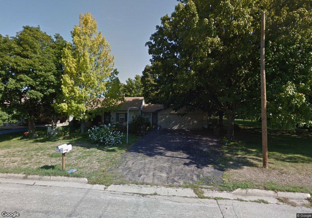
214 E 9th St Pecatonica, IL 61063
Estimated Value: $154,000 - $182,000
Studio
--
Bath
1,336
Sq Ft
$124/Sq Ft
Est. Value
About This Home
This home is located at 214 E 9th St, Pecatonica, IL 61063 and is currently estimated at $165,449, approximately $123 per square foot. 214 E 9th St is a home located in Winnebago County with nearby schools including Pecatonica Elementary School, Pecatonica Community Middle School, and Pecatonica High School.
Ownership History
Date
Name
Owned For
Owner Type
Purchase Details
Closed on
Nov 23, 2023
Sold by
Rocen Antoinette L
Bought by
Olmstead Robert H
Current Estimated Value
Home Financials for this Owner
Home Financials are based on the most recent Mortgage that was taken out on this home.
Original Mortgage
$6,000
Interest Rate
7.57%
Purchase Details
Closed on
May 4, 2006
Bought by
Rocen Antoinette
Create a Home Valuation Report for This Property
The Home Valuation Report is an in-depth analysis detailing your home's value as well as a comparison with similar homes in the area
Purchase History
| Date | Buyer | Sale Price | Title Company |
|---|---|---|---|
| Olmstead Robert H | $116,500 | None Listed On Document | |
| Rocen Antoinette | $124,000 | -- |
Source: Public Records
Mortgage History
| Date | Status | Borrower | Loan Amount |
|---|---|---|---|
| Closed | Olmstead Robert H | $6,000 | |
| Open | Olmstead Robert H | $110,675 |
Source: Public Records
Tax History
| Year | Tax Paid | Tax Assessment Tax Assessment Total Assessment is a certain percentage of the fair market value that is determined by local assessors to be the total taxable value of land and additions on the property. | Land | Improvement |
|---|---|---|---|---|
| 2024 | $2,338 | $36,070 | $4,543 | $31,527 |
| 2023 | $1,123 | $32,932 | $4,148 | $28,784 |
| 2022 | $1,180 | $30,581 | $3,852 | $26,729 |
| 2021 | $1,211 | $28,755 | $3,622 | $25,133 |
| 2020 | $1,239 | $27,702 | $3,489 | $24,213 |
| 2019 | $1,495 | $26,353 | $3,319 | $23,034 |
| 2018 | $1,481 | $25,575 | $3,221 | $22,354 |
| 2017 | $1,511 | $25,059 | $3,156 | $21,903 |
| 2016 | $1,462 | $24,811 | $3,125 | $21,686 |
| 2015 | $1,458 | $24,563 | $3,094 | $21,469 |
| 2014 | $1,444 | $24,563 | $3,094 | $21,469 |
Source: Public Records
Map
Nearby Homes
- 24xx Jackson St
- 711 Taylor St
- 423 Main St
- 418 Main St
- 409 W 4th St
- 230 Reed St
- 16905 W State Rd
- 16524 Grove Creek Cir
- 14949 Saunders Rd
- 6259 N Pecatonica Rd
- 13362 Foxglove Ln
- 13116 Springhill Dr
- 4010 Lakeshore Dr
- 3771 & 3773 Lakeview Dr
- 00 Judd Rd
- 7980 E Ridott Rd
- 11XXX Smith Rd
- 0 Telegraph Rd
- 307 Shelden Dr
- 15210 Murphy Rd
Your Personal Tour Guide
Ask me questions while you tour the home.