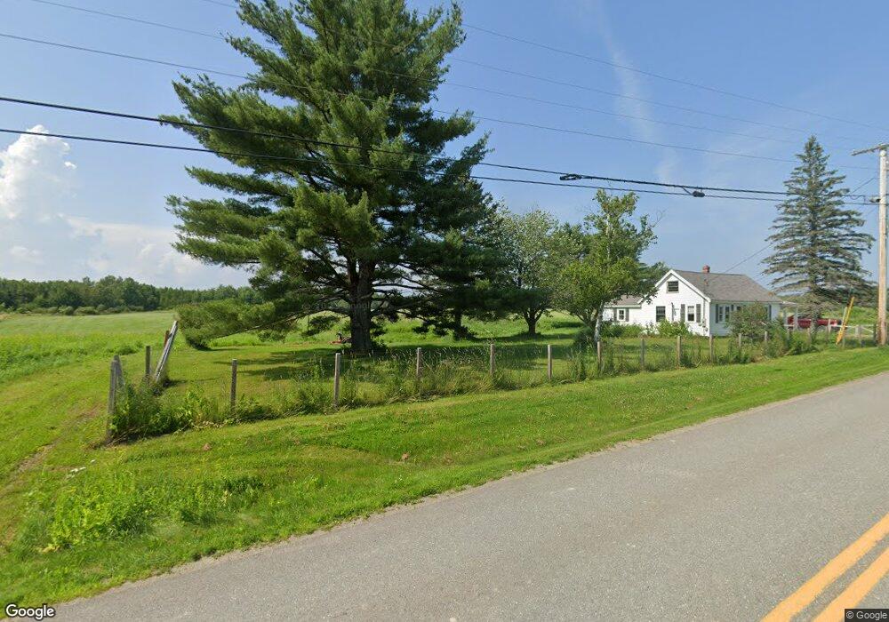
214 Lancaster Brook Rd Glenburn, ME 04401
Estimated Value: $229,101 - $341,000
About This Home
This home is located at 214 Lancaster Brook Rd, Glenburn, ME 04401 and is currently estimated at $294,025. 214 Lancaster Brook Rd is a home located in Penobscot County with nearby schools including Glenburn Elementary School, Orono Middle School, and Orono High School.
Ownership History
We collect this data history from publicly available records. To have your information removed, we recommend requesting removal directly through your county’s website.
Purchase Details
Home Financials for this Owner
Home Financials are based on the most recent Mortgage that was taken out on this home.Home Values in the Area
Average Home Value in this Area
Purchase History
We collect this data history from publicly available records. To have your information removed, we recommend requesting removal directly through your county’s website.
| Date | Buyer | Sale Price | Title Company |
|---|---|---|---|
| -- | -- |
Mortgage History
We collect this data history from publicly available records. To have your information removed, we recommend requesting removal directly through your county’s website.
| Date | Status | Borrower | Loan Amount |
|---|---|---|---|
| Open | $76,000 |
Tax History
We collect this data history from publicly available records. To have your information removed, we recommend requesting removal directly through your county’s website.
| Year | Tax Paid | Tax Assessment Tax Assessment Total Assessment is a certain percentage of the fair market value that is determined by local assessors to be the total taxable value of land and additions on the property. | Land | Improvement |
|---|---|---|---|---|
| 2025 | $2,529 | $170,850 | $45,650 | $125,200 |
| 2024 | $2,358 | $170,850 | $45,650 | $125,200 |
| 2023 | $2,375 | $170,850 | $45,650 | $125,200 |
| 2022 | $2,385 | $142,380 | $38,050 | $104,330 |
| 2021 | $2,563 | $142,380 | $38,050 | $104,330 |
| 2020 | $2,344 | $142,380 | $38,050 | $104,330 |
| 2019 | $2,598 | $142,380 | $38,050 | $104,330 |
| 2018 | $2,634 | $142,380 | $38,050 | $104,330 |
| 2017 | $3,227 | $152,240 | $21,740 | $130,500 |
| 2016 | $3,074 | $152,200 | $21,700 | $130,500 |
| 2015 | $2,991 | $152,200 | $21,700 | $130,500 |
| 2014 | $2,831 | $152,200 | $21,700 | $130,500 |
| 2012 | $2,976 | $155,400 | $24,900 | $130,500 |
Map
- 208 Lancaster Brook Rd
- 166 Lancaster Brook Rd
- 3237 Broadway
- 25 Lorna Ln
- 45 Lorna Ln
- 26 Pineview Ave
- 19 Marston Meadow Rd
- 1075 Sunset Ave
- 1047 Sunset Ave
- 15 Phillips Rd
- 1238 Pushaw Rd
- 54 Lyndsay Ln
- 1782 Pushaw Rd
- 43 Richards Rd
- 5 Cedar Breeze N
- 953 Pushaw Rd
- 73 Jillian Way
- 109 Sandy Beach Rd
- 3881 Broadway
- 56 Cedar Breeze S
- 200 Lancaster Brook Rd
- 197 Lancaster Brook Rd
- 207 Lancaster Brook Rd
- 189 Lancaster Brook Rd
- 213 Lancaster Brook Rd
- 188 Lancaster Brook Rd
- 177 Lancaster Brook Rd
- 18 Lancaster Ln
- 223 Lancaster Brook Rd
- 229 Lancaster Brook Rd
- 234 Lancaster Brook Rd
- 28 Lancaster Ln
- 5 Lancaster Ln
- 17 Lancaster Ln
- 235 Lancaster Brook Rd
- 23 Lancaster Ln
- Lot #55 Lancaster Ln
- 22 Mongoose Ln
- 25 Lancaster Ln
- 244 Lancaster Brook Rd
Ask me questions while you tour the home.