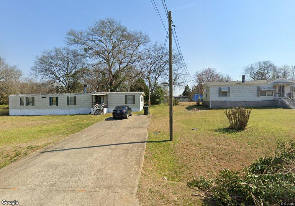
214 Surrey Dr Warner Robins, GA 31093
Estimated Value: $63,277 - $149,000
Studio
--
Bath
--
Sq Ft
0.34
Acres Lot
About This Home
This home is located at 214 Surrey Dr, Warner Robins, GA 31093 and is currently estimated at $89,569. 214 Surrey Dr is a home located in Houston County with nearby schools including Centerville Elementary School, Thomson Middle School, and Northside High School.
Ownership History
Date
Name
Owned For
Owner Type
Purchase Details
Closed on
Oct 16, 2024
Sold by
Mobile Home Rentals Llc
Bought by
Springlake Mhp Llc
Current Estimated Value
Purchase Details
Closed on
Nov 15, 2019
Sold by
Csc Warner Robins Llc
Bought by
Mobile Home Rentals Llc
Purchase Details
Closed on
May 3, 2013
Sold by
Byrd & Company Llc
Bought by
Csc Warner Robins Llc
Purchase Details
Closed on
Dec 27, 2002
Sold by
Byrd Mark S (Trustee)
Bought by
Byrd & Company Llc
Create a Home Valuation Report for This Property
The Home Valuation Report is an in-depth analysis detailing your home's value as well as a comparison with similar homes in the area
Home Values in the Area
Average Home Value in this Area
Purchase History
We collect this data history from publicly available records. To have your information removed, we recommend requesting removal directly through your county’s website.
| Date | Buyer | Sale Price | Title Company |
|---|---|---|---|
| Springlake Mhp Llc | $18,000 | Stewart Title Guaranty Company | |
| Springlake Mhp Llc | $18,000 | Stewart Title Guaranty Company | |
| Mobile Home Rentals Llc | -- | Stewart Title Guaranty Co | |
| Csc Warner Robins Llc | $3,300,000 | Calloway Title & Escrow Llc | |
| Csc Warner Robins Llc | $3,300,000 | -- | |
| Byrd & Company Llc | -- | -- |
Source: Public Records
Tax History
| Year | Tax Paid | Tax Assessment Tax Assessment Total Assessment is a certain percentage of the fair market value that is determined by local assessors to be the total taxable value of land and additions on the property. | Land | Improvement |
|---|---|---|---|---|
| 2025 | $210 | $9,600 | $7,200 | $2,400 |
| 2024 | $230 | $9,600 | $7,200 | $2,400 |
| 2023 | $232 | $9,600 | $7,200 | $2,400 |
| 2022 | $184 | $7,600 | $5,200 | $2,400 |
| 2021 | $155 | $6,400 | $5,200 | $1,200 |
| 2020 | $156 | $6,400 | $5,200 | $1,200 |
| 2019 | $156 | $6,400 | $5,200 | $1,200 |
| 2018 | $156 | $6,400 | $5,200 | $1,200 |
| 2017 | $156 | $6,400 | $5,200 | $1,200 |
| 2016 | $157 | $6,400 | $5,200 | $1,200 |
Source: Public Records
Map
Nearby Homes
- 207 Cambridge Dr
- 918 Collins Ave Unit 36
- 305 Brantley Rd Unit 14
- 305 Brantley Rd Unit 6
- 118 Ridgewood Dr
- 204 S Cambridge Dr
- 222 Ridgewood Dr
- 400 S Cambridge Dr
- 111 Shamrock Dr
- 202 Sunnymeade Dr
- 206/208 Webb St
- 206 & 208 Webb St
- 111 Weaver Rd
- 108 Weaver Rd
- 132 Concord Ridge
- 210 Bazemore Cir
- 105 Maple Glen Ct
- 121 Crestwood Rd
- 102 Winged Elm Grove
- 105 Calpurnia St
- 103 Kent Dr
- 101 Kent Dr
- 213 Surrey Dr
- 208 Surrey Dr
- 209 Cambridge Dr
- 100 Kent Dr
- 101 New Castle Dr
- 225 Wakefield Dr
- 0 Coventry Dr
- 105 Queens Ct
- 205 Surrey Dr
- 104 Coventry Dr
- 102 New Castle Dr
- 202 Surrey Dr
- 97 Hampshire Ln
- 95 Hampshire Ln
- 109 New Castle Dr
- 117 Surrey Dr
- 108 Cambridge Dr
- 217 & 219 Wakefield Dr
Your Personal Tour Guide
Ask me questions while you tour the home.