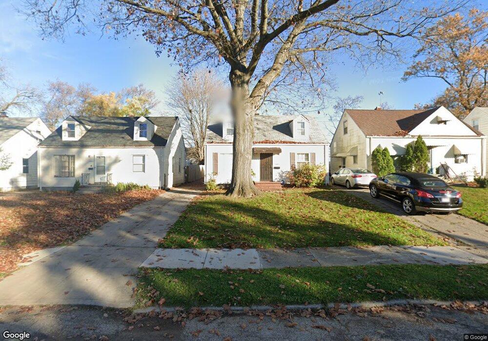
21405 Watson Rd Maple Heights, OH 44137
Estimated Value: $103,000 - $145,000
2
Beds
1
Bath
720
Sq Ft
$159/Sq Ft
Est. Value
About This Home
This home is located at 21405 Watson Rd, Maple Heights, OH 44137 and is currently estimated at $114,285, approximately $158 per square foot. 21405 Watson Rd is a home located in Cuyahoga County with nearby schools including Abraham Lincoln Elementary School, Rockside/ J.F. Kennedy School, and Barack Obama School.
Ownership History
Date
Name
Owned For
Owner Type
Purchase Details
Closed on
Dec 13, 2005
Sold by
Lowe Timothy W
Bought by
Glenn Derrell
Current Estimated Value
Home Financials for this Owner
Home Financials are based on the most recent Mortgage that was taken out on this home.
Original Mortgage
$66,800
Outstanding Balance
$40,250
Interest Rate
8.25%
Mortgage Type
Fannie Mae Freddie Mac
Estimated Equity
$74,035
Purchase Details
Closed on
Sep 20, 2000
Sold by
Lowe Donna L
Bought by
Lowe Timothy W
Purchase Details
Closed on
Jan 1, 1975
Bought by
Lowe Timothy W and Lowe Donna L
Create a Home Valuation Report for This Property
The Home Valuation Report is an in-depth analysis detailing your home's value as well as a comparison with similar homes in the area
Home Values in the Area
Average Home Value in this Area
Purchase History
We collect this data history from publicly available records. To have your information removed, we recommend requesting removal directly through your county’s website.
| Date | Buyer | Sale Price | Title Company |
|---|---|---|---|
| Glenn Derrell | $83,500 | None Available | |
| Lowe Timothy W | -- | -- | |
| Lowe Timothy W | -- | -- |
Source: Public Records
Mortgage History
We collect this data history from publicly available records. To have your information removed, we recommend requesting removal directly through your county’s website.
| Date | Status | Borrower | Loan Amount |
|---|---|---|---|
| Open | Glenn Derrell | $66,800 |
Source: Public Records
Tax History
| Year | Tax Paid | Tax Assessment Tax Assessment Total Assessment is a certain percentage of the fair market value that is determined by local assessors to be the total taxable value of land and additions on the property. | Land | Improvement |
|---|---|---|---|---|
| 2025 | $2,619 | $31,745 | $6,720 | $25,025 |
| 2024 | $2,905 | $31,745 | $6,720 | $25,025 |
| 2023 | $2,010 | $18,200 | $4,060 | $14,140 |
| 2022 | $2,003 | $18,200 | $4,060 | $14,140 |
| 2021 | $2,130 | $18,200 | $4,060 | $14,140 |
| 2020 | $1,830 | $13,790 | $3,080 | $10,710 |
| 2019 | $1,819 | $39,400 | $8,800 | $30,600 |
| 2018 | $1,809 | $13,790 | $3,080 | $10,710 |
| 2017 | $1,785 | $13,270 | $2,870 | $10,400 |
| 2016 | $1,727 | $13,270 | $2,870 | $10,400 |
| 2015 | $1,717 | $13,270 | $2,870 | $10,400 |
| 2014 | $1,717 | $14,560 | $3,150 | $11,410 |
Source: Public Records
Map
Nearby Homes
- 20919 Hansen Rd
- 21202 Hillgrove Ave
- 21104 Clare Ave
- 21860 Louis Rd
- 21506 Kenyon Dr
- 0 Miles Rd Unit 5188561
- 21202 Gardenview Dr
- 5147 Warrensville Center Rd
- 20503 Mountville Dr
- 20111 Mountville Dr
- 19703 Fairway Ave
- 19812 Marvin Rd
- 19910 Mountville Dr
- 20004 Libby Rd
- 22504 Felch St
- 4914 Green Rd
- 19313 Longview Ave
- 5319 Fairtree Rd
- 19411 Marvin Rd
- 20732 Applegate Rd
- 21316 Hansen Rd
- 21402 Hansen Rd
- 21312 Hansen Rd
- 21304 Hansen Rd
- 21317 Watson Rd
- 21313 Watson Rd
- 21401 Watson Rd
- 21309 Watson Rd
- 21300 Hansen Rd
- 21305 Watson Rd
- 21409 Watson Rd
- 21301 Watson Rd
- 21213 Hansen Rd
- 21413 Watson Rd
- 21212 Hansen Rd
- 21217 Watson Rd
- 21417 Watson Rd
- 21210 Hansen Rd
- 21213 Watson Rd
- 21501 Watson Rd
Your Personal Tour Guide
Ask me questions while you tour the home.