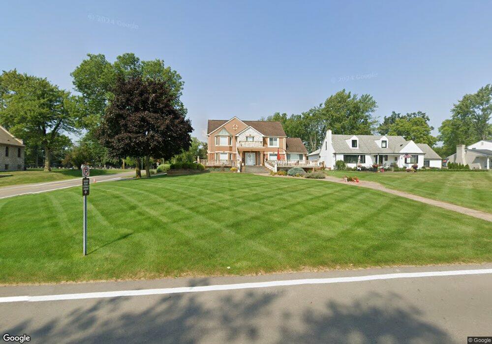
21430 E River Rd Grosse Ile, MI 48138
Estimated Value: $806,068 - $934,000
About This Home
This home is located at 21430 E River Rd, Grosse Ile, MI 48138 and is currently estimated at $857,767, approximately $275 per square foot. 21430 E River Rd is a home located in Wayne County.
Ownership History
We collect this data history from publicly available records. To have your information removed, we recommend requesting removal directly through your county’s website.
Purchase Details
Purchase Details
Home Financials for this Owner
Home Financials are based on the most recent Mortgage that was taken out on this home.Home Values in the Area
Average Home Value in this Area
Purchase History
We collect this data history from publicly available records. To have your information removed, we recommend requesting removal directly through your county’s website.
| Date | Buyer | Sale Price | Title Company |
|---|---|---|---|
| $580,603 | None Available | ||
| -- | Title Source Inc |
Mortgage History
We collect this data history from publicly available records. To have your information removed, we recommend requesting removal directly through your county’s website.
| Date | Status | Borrower | Loan Amount |
|---|---|---|---|
| Previous Owner | $560,000 |
Tax History
We collect this data history from publicly available records. To have your information removed, we recommend requesting removal directly through your county’s website.
| Year | Tax Paid | Tax Assessment Tax Assessment Total Assessment is a certain percentage of the fair market value that is determined by local assessors to be the total taxable value of land and additions on the property. | Land | Improvement |
|---|---|---|---|---|
| 2025 | $5,657 | $428,900 | $0 | $0 |
| 2024 | $5,506 | $408,700 | $0 | $0 |
| 2023 | $6,298 | $381,700 | $0 | $0 |
| 2022 | $14,657 | $352,100 | $0 | $0 |
| 2021 | $14,021 | $333,900 | $0 | $0 |
| 2020 | $14,157 | $319,200 | $0 | $0 |
| 2019 | $15,025 | $332,700 | $0 | $0 |
| 2018 | $6,521 | $327,900 | $0 | $0 |
| 2017 | $16,855 | $321,800 | $0 | $0 |
| 2016 | $13,713 | $296,000 | $0 | $0 |
| 2015 | $27,580 | $275,800 | $0 | $0 |
| 2013 | $26,796 | $279,300 | $0 | $0 |
| 2012 | $7,251 | $266,800 | $132,000 | $134,800 |
Map
- 7714 Bournemouth Ave
- 21527 Parke Ln
- 21599 Parke Ln
- 7993 Church Rd
- 8027 Berkshire Dr
- 8236 Burning Bush Rd
- 25 Potowatomi Dr
- 21071 Thorofare Rd
- 8946 Potowatomi Dr
- 8487 Sherwood Dr Unit 17
- 21918 Knudsen Dr
- 8695 Stout Ave
- 9235 Whitall Ln
- 7611 Ferry Rd
- 9355 Highland Dr
- 129 Meridian Rd
- 9281 Island Dr
- 19580 Parke Ln
- 22827 Meridian Rd
- 8441 Sarah Ln
- 21390 E River Rd
- 21526 E River Rd
- 21370 E River Rd
- 21445 Salisbury Ave
- 21425 Salisbury Ave
- 7625 Church Rd
- 21344 E River Rd
- 21354 E River Rd
- 21411 Salisbury Ave
- 21546 E River Rd
- 21341 Salisbury Ave
- 21320 E River Rd
- 7655 Church Rd
- 21576 E River Rd
- 7720 Church Rd
- 21294 E River Rd
- 21321 Salisbury Ave
- 7733 Church Rd
- 7770 Church Rd
- 21342 Salisbury Ave
Ask me questions while you tour the home.