215 Digby Rd Covington, GA 30014
Estimated Value: $303,000 - $356,000
Studio
2
Baths
1,671
Sq Ft
$193/Sq Ft
Est. Value
About This Home
This home is located at 215 Digby Rd, Covington, GA 30014 and is currently estimated at $323,106, approximately $193 per square foot. 215 Digby Rd is a home located in Newton County with nearby schools including Mansfield Elementary School, Indian Creek Middle School, and Alcovy High School.
Ownership History
Date
Name
Owned For
Owner Type
Purchase Details
Closed on
Oct 15, 2003
Sold by
Digby Dan M
Bought by
Huffman Loretta
Current Estimated Value
Home Financials for this Owner
Home Financials are based on the most recent Mortgage that was taken out on this home.
Original Mortgage
$180,500
Outstanding Balance
$70,889
Interest Rate
4.25%
Mortgage Type
New Conventional
Estimated Equity
$252,217
Create a Home Valuation Report for This Property
The Home Valuation Report is an in-depth analysis detailing your home's value as well as a comparison with similar homes in the area
Home Values in the Area
Average Home Value in this Area
Purchase History
| Date | Buyer | Sale Price | Title Company |
|---|---|---|---|
| Huffman Loretta | $190,000 | -- |
Source: Public Records
Mortgage History
| Date | Status | Borrower | Loan Amount |
|---|---|---|---|
| Open | Huffman Loretta | $180,500 |
Source: Public Records
Tax History
| Year | Tax Paid | Tax Assessment Tax Assessment Total Assessment is a certain percentage of the fair market value that is determined by local assessors to be the total taxable value of land and additions on the property. | Land | Improvement |
|---|---|---|---|---|
| 2025 | $3,370 | $145,400 | $32,920 | $112,480 |
| 2024 | $3,103 | $126,360 | $28,400 | $97,960 |
| 2023 | $2,881 | $110,040 | $28,400 | $81,640 |
| 2022 | $2,224 | $85,840 | $19,280 | $66,560 |
| 2021 | $2,117 | $73,680 | $17,040 | $56,640 |
| 2020 | $2,034 | $64,440 | $15,880 | $48,560 |
| 2019 | $1,974 | $61,760 | $13,600 | $48,160 |
| 2018 | $1,818 | $56,840 | $13,600 | $43,240 |
| 2017 | $1,755 | $55,000 | $13,160 | $41,840 |
| 2016 | $1,598 | $50,440 | $13,480 | $36,960 |
| 2015 | $1,625 | $51,240 | $13,520 | $37,720 |
| 2014 | $1,627 | $51,400 | $0 | $0 |
Source: Public Records
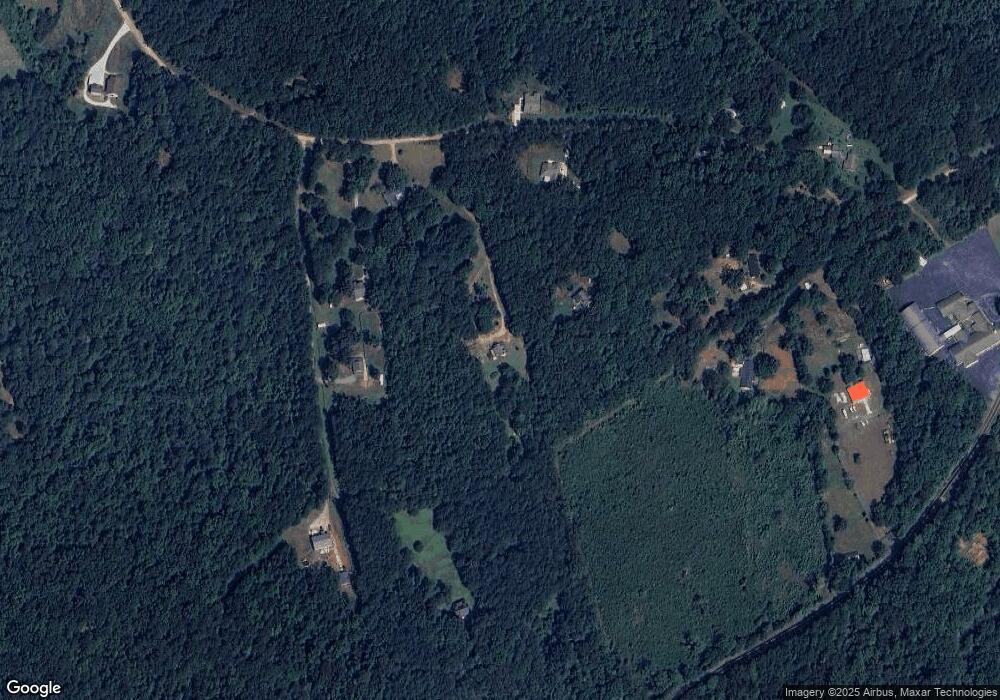
Map
Nearby Homes
- 150 W Pennick Dr
- 686 Newton Factory Bridge Rd
- 70 McDonald Rd
- 0 Newton Factory Bridge Rd Unit 10615368
- 0 Newton Factory Bridge Rd Unit 7657995
- 1042 Stag Run Dr
- 1360 Stag Run Dr
- 31 Sourwood Dr
- 132 Armstrong Dr Unit 91
- 122 Armstrong Dr Unit 90
- 867 Bear Creek Point
- 2902 County Line Rd
- 112 Armstrong Dr Unit 89
- 102 Armstrong Dr Unit 88
- 92 Armstrong Dr Unit 87
- 82 Armstrong Dr Unit 86
- 72 Armstrong Dr Unit 85
- 62 Armstrong Dr Unit 84
- 52 Armstrong Dr Unit 83
- 2361 County Line Rd
- 75 Digby Rd
- 255 Digby Rd
- 205 Digby Rd
- 1295 Newton Factory Bridge Rd
- 265 Digby Rd
- 210 Digby Rd
- 65 Digby Rd
- 105 Digby Rd
- 110 Digby Rd
- 70 Digby Rd
- 275 Digby Rd
- 335 Digby Rd
- 1132 Newton Factory Bridge Rd
- 135 Pin Oak Place
- 135 W Pennick Dr
- 135 W Pennick Dr Unit 16
- 80 Wellsley Dr
- 80 Wellsley Dr Unit 13
- 1375 Newton Factory Bridge Rd
- 105 Wellsley Dr
Your Personal Tour Guide
Ask me questions while you tour the home.