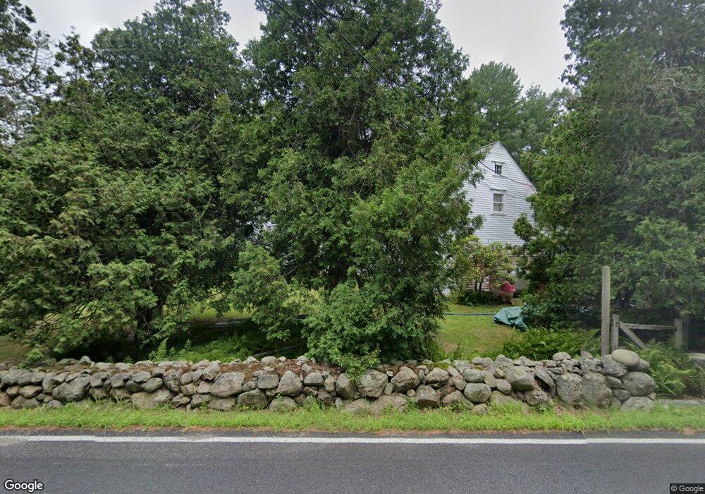
215 Everett St Wrentham, MA 02093
Estimated Value: $816,927 - $1,236,000
6
Beds
3
Baths
4,091
Sq Ft
$250/Sq Ft
Est. Value
About This Home
This home is located at 215 Everett St, Wrentham, MA 02093 and is currently estimated at $1,024,232, approximately $250 per square foot. 215 Everett St is a home located in Norfolk County with nearby schools including Delaney Elementary School, Charles E Roderick, and Foxborough Regional Charter School.
Ownership History
Date
Name
Owned For
Owner Type
Purchase Details
Closed on
Sep 12, 2024
Sold by
Hubbell Margaret P
Bought by
Mpsh Ret and Hubbell
Current Estimated Value
Purchase Details
Closed on
Mar 25, 1981
Bought by
Stahl Robert B and Stahl Gregory T
Create a Home Valuation Report for This Property
The Home Valuation Report is an in-depth analysis detailing your home's value as well as a comparison with similar homes in the area
Purchase History
| Date | Buyer | Sale Price | Title Company |
|---|---|---|---|
| Mpsh Ret | -- | None Available | |
| Mpsh Ret | -- | None Available | |
| Stahl Robert B | -- | -- |
Source: Public Records
Mortgage History
| Date | Status | Borrower | Loan Amount |
|---|---|---|---|
| Previous Owner | Stahl Robert B | $15,000 |
Source: Public Records
Tax History
| Year | Tax Paid | Tax Assessment Tax Assessment Total Assessment is a certain percentage of the fair market value that is determined by local assessors to be the total taxable value of land and additions on the property. | Land | Improvement |
|---|---|---|---|---|
| 2025 | -- | $691,150 | $329,550 | $361,600 |
| 2024 | -- | $673,150 | $329,550 | $343,600 |
| 2023 | $0 | $543,250 | $305,550 | $237,700 |
| 2022 | $0 | $555,050 | $298,950 | $256,100 |
| 2021 | $0 | $530,650 | $283,750 | $246,900 |
| 2020 | $0 | $476,050 | $232,350 | $243,700 |
| 2019 | $0 | $479,750 | $232,350 | $247,400 |
| 2018 | $0 | $451,510 | $227,810 | $223,700 |
| 2017 | $0 | $424,760 | $0 | $0 |
| 2016 | -- | $414,300 | $0 | $0 |
| 2015 | $5,726 | $382,250 | $0 | $0 |
| 2014 | $5,640 | $368,380 | $0 | $0 |
Source: Public Records
Map
Nearby Homes
- 25 Foxboro Rd
- 7 Hill St Unit 12
- 7 Hill St Unit 16
- 9 Sharon Ave
- 11 Sharon Ave
- 576 Dedham St
- 30 Weber Farm Rd Unit 30
- 131 Washington St Unit 32
- 131 Washington St Unit 50
- 131 Washington St Unit 51
- 4 Weber Farm Rd Unit 4
- 6 Weber Farm Rd Unit 6
- 8 Weber Farm Rd Unit 8
- 11 Weber Farm Rd Unit 11
- 71 Pond St
- 8 Conway Ln
- 12 Goodwin Dr
- 40 Alderbrook Ct
- 12 Patriot Dr
- 35 Fairbanks Dr
Your Personal Tour Guide
Ask me questions while you tour the home.