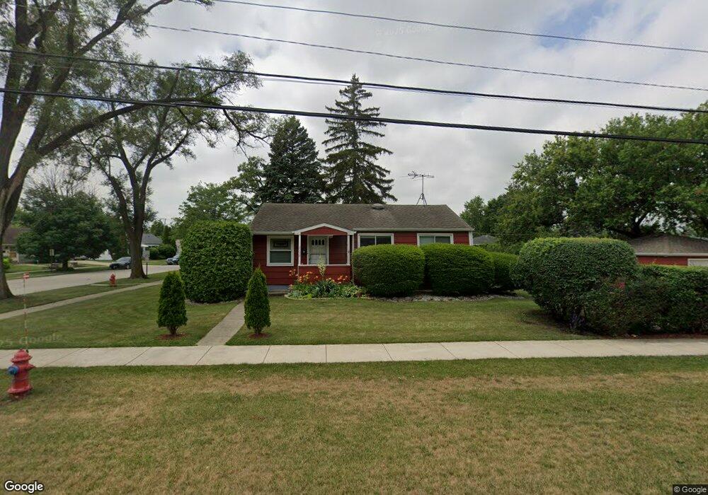
2150 S River Rd Des Plaines, IL 60018
Estimated Value: $304,000 - $337,000
3
Beds
2
Baths
900
Sq Ft
$362/Sq Ft
Est. Value
About This Home
This home is located at 2150 S River Rd, Des Plaines, IL 60018 and is currently estimated at $325,807, approximately $362 per square foot. 2150 S River Rd is a home located in Cook County with nearby schools including South Elementary School, Algonquin Middle School, and Maine West High School.
Ownership History
Date
Name
Owned For
Owner Type
Purchase Details
Closed on
Aug 13, 1998
Sold by
Schmidt Dolores A
Bought by
Schmidt James P
Current Estimated Value
Home Financials for this Owner
Home Financials are based on the most recent Mortgage that was taken out on this home.
Original Mortgage
$60,000
Interest Rate
6.75%
Create a Home Valuation Report for This Property
The Home Valuation Report is an in-depth analysis detailing your home's value as well as a comparison with similar homes in the area
Home Values in the Area
Average Home Value in this Area
Purchase History
| Date | Buyer | Sale Price | Title Company |
|---|---|---|---|
| Schmidt James P | $89,000 | -- |
Source: Public Records
Mortgage History
| Date | Status | Borrower | Loan Amount |
|---|---|---|---|
| Closed | Schmidt James P | $60,000 |
Source: Public Records
Tax History
| Year | Tax Paid | Tax Assessment Tax Assessment Total Assessment is a certain percentage of the fair market value that is determined by local assessors to be the total taxable value of land and additions on the property. | Land | Improvement |
|---|---|---|---|---|
| 2025 | $5,981 | $28,000 | $8,775 | $19,225 |
| 2024 | $5,981 | $26,001 | $7,313 | $18,688 |
| 2023 | $5,810 | $26,001 | $7,313 | $18,688 |
| 2022 | $5,810 | $26,001 | $7,313 | $18,688 |
| 2021 | $5,214 | $20,291 | $6,093 | $14,198 |
| 2020 | $5,194 | $20,291 | $6,093 | $14,198 |
| 2019 | $4,782 | $21,199 | $6,093 | $15,106 |
| 2018 | $4,600 | $18,817 | $5,362 | $13,455 |
| 2017 | $5,375 | $21,671 | $5,362 | $16,309 |
| 2016 | $5,328 | $21,671 | $5,362 | $16,309 |
| 2015 | $4,703 | $18,179 | $4,631 | $13,548 |
| 2014 | $4,620 | $18,179 | $4,631 | $13,548 |
| 2013 | $4,487 | $18,179 | $4,631 | $13,548 |
Source: Public Records
Map
Nearby Homes
- 2035 Fargo Ave
- 1922 Fargo Ave
- 2054 Birch St
- 38 E Touhy Ave
- 2469 Parkwood Ln
- 1895 Birch St
- 2600 S Scott St
- 1881 Orchard St
- 2664 S Craig Dr
- 1641 E Touhy Ave
- 1629 E Touhy Ave
- 44 Park Ln Unit 232
- 44 Park Ln Unit 223
- 44 Park Ln Unit 229
- 2646 Maple St
- 25 Park Ln Unit 25
- 27 Park Ln Unit 27
- 700 Florence Dr
- 1640 S River Rd
- 300 Boardwalk Place Unit T300
- 2060 Fargo Ave
- 2130 S River Rd
- 2050 Fargo Ave
- 2053 Welwyn Ave
- 2079 Fargo Ave
- 2044 Fargo Ave
- 2043 Welwyn Ave
- 2069 Fargo Ave
- 2059 Fargo Ave
- 2038 Fargo Ave
- 2049 Fargo Ave
- 2039 Welwyn Ave
- 2196 S River Rd
- 2196 S River Rd
- 2043 Fargo Ave
- 2200 S River Rd
- 2200 S River Rd
- 2199 Magnolia St
- 2030 Fargo Ave
- 2031 Welwyn Ave
Your Personal Tour Guide
Ask me questions while you tour the home.