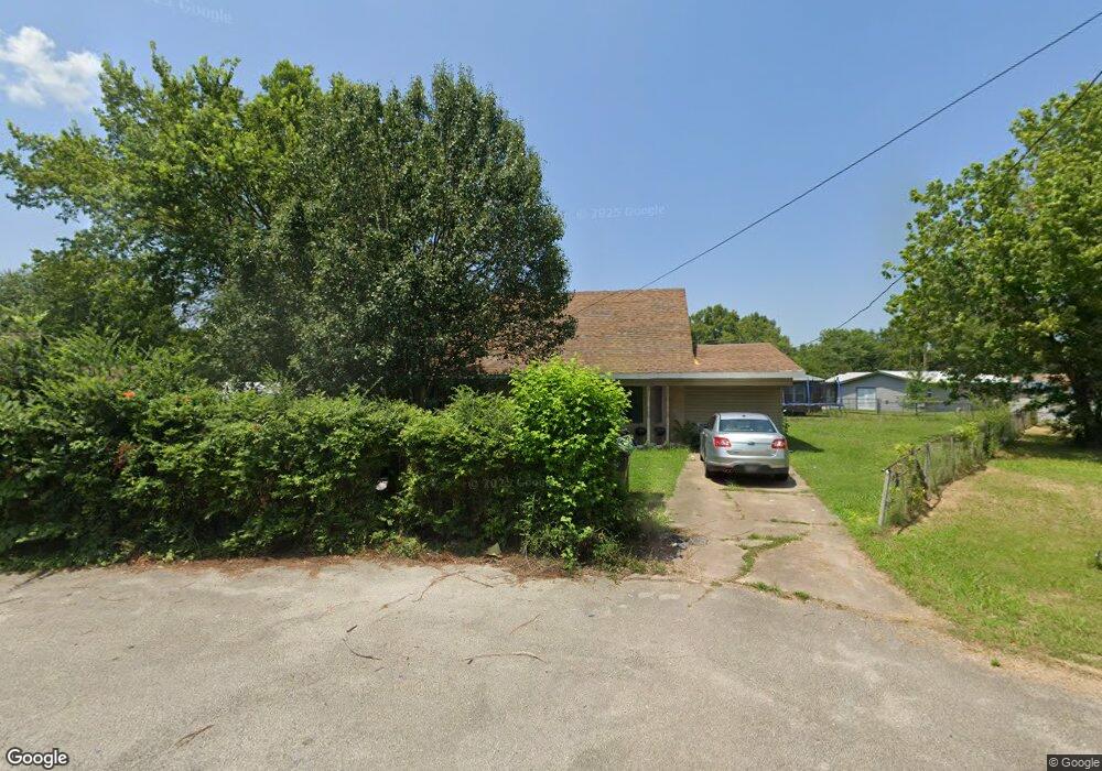
216 David Cove Jonesboro, AR 72401
Estimated Value: $112,000 - $127,000
4
Beds
4
Baths
1,608
Sq Ft
$73/Sq Ft
Est. Value
About This Home
This home is located at 216 David Cove, Jonesboro, AR 72401 and is currently estimated at $117,343, approximately $72 per square foot. 216 David Cove is a home located in Craighead County with nearby schools including Douglas Macarthur Junior High School, The Academies at Jonesboro High School, and Montessori School of Jonesboro.
Ownership History
Date
Name
Owned For
Owner Type
Purchase Details
Closed on
Jul 1, 2012
Sold by
Lantz Enterprises Inc
Bought by
Lantz Samuel E and Lantz Shannon
Current Estimated Value
Purchase Details
Closed on
Oct 3, 2006
Sold by
Thompson Bobby J
Bought by
Lantz Enterprises Inc
Home Financials for this Owner
Home Financials are based on the most recent Mortgage that was taken out on this home.
Original Mortgage
$58,000
Interest Rate
6.51%
Mortgage Type
Purchase Money Mortgage
Purchase Details
Closed on
Aug 28, 2000
Bought by
Thompson
Purchase Details
Closed on
May 12, 2000
Bought by
Bankers Trust
Purchase Details
Closed on
Jul 14, 1995
Bought by
Caldwell
Create a Home Valuation Report for This Property
The Home Valuation Report is an in-depth analysis detailing your home's value as well as a comparison with similar homes in the area
Home Values in the Area
Average Home Value in this Area
Purchase History
| Date | Buyer | Sale Price | Title Company |
|---|---|---|---|
| Lantz Samuel E | -- | None Available | |
| Lantz Enterprises Inc | $62,000 | Lenders Title Company | |
| Thompson | $39,000 | -- | |
| Bankers Trust | -- | -- | |
| Caldwell | -- | -- |
Source: Public Records
Mortgage History
| Date | Status | Borrower | Loan Amount |
|---|---|---|---|
| Closed | Lantz Enterprises Inc | $58,000 |
Source: Public Records
Tax History
| Year | Tax Paid | Tax Assessment Tax Assessment Total Assessment is a certain percentage of the fair market value that is determined by local assessors to be the total taxable value of land and additions on the property. | Land | Improvement |
|---|---|---|---|---|
| 2025 | $709 | $18,123 | $2,000 | $16,123 |
| 2024 | $709 | $18,123 | $2,000 | $16,123 |
| 2023 | $640 | $18,123 | $2,000 | $16,123 |
| 2022 | $586 | $18,123 | $2,000 | $16,123 |
| 2021 | $546 | $12,940 | $1,400 | $11,540 |
| 2020 | $546 | $12,940 | $1,400 | $11,540 |
| 2019 | $546 | $12,940 | $1,400 | $11,540 |
| 2018 | $546 | $12,940 | $1,400 | $11,540 |
| 2017 | $546 | $12,940 | $1,400 | $11,540 |
| 2016 | $551 | $13,060 | $1,400 | $11,660 |
| 2015 | $551 | $13,060 | $1,400 | $11,660 |
| 2014 | $0 | $13,060 | $1,400 | $11,660 |
Source: Public Records
Map
Nearby Homes
- 300 W Roseclair St
- 300 W Easy St
- 1005 Warren St
- 215 Pine St
- 1104 Cartwright St
- 1206 Warren St
- 1012 N Main St
- 1110 Warren St
- 2110 N Church St
- 1007 Warren St
- 303 Daybreak Dr
- 906 N Madison St
- 1416 N Culberhouse St
- 220 E Center St
- 2212 Crescendo Dr
- 2738 N Church St
- 104 W Forrest St
- 611 Warren St
- 21208 N Culberhouse St
- 122 Coleman Dr
- 221 Harold Cove
- 214 David Cove
- 218 David Cove
- 223 Harold Cove
- 224 Gilbert St
- 213 W Alpine St
- 219 Harold Cove
- 212 David Cove
- 209 W Alpine St
- 300 Gilbert St
- 210 David Cove
- 304 Gilbert St
- 207 W Alpine St
- 1605 N Easy St
- 1601 N Easy St
- 227 Harold Cove
- 213 Gilbert St
- N Easy St
- 209 Gilbert St
- 217 Gilbert St
Your Personal Tour Guide
Ask me questions while you tour the home.