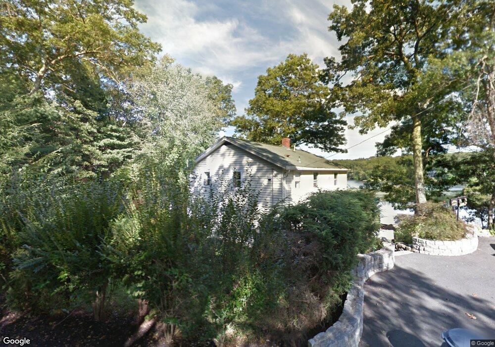
216 Forest Grove Ave Wrentham, MA 02093
Estimated Value: $542,420 - $607,000
3
Beds
3
Baths
1,634
Sq Ft
$354/Sq Ft
Est. Value
About This Home
This home is located at 216 Forest Grove Ave, Wrentham, MA 02093 and is currently estimated at $578,605, approximately $354 per square foot. 216 Forest Grove Ave is a home located in Norfolk County with nearby schools including Delaney Elementary School and Charles E Roderick.
Ownership History
Date
Name
Owned For
Owner Type
Purchase Details
Closed on
Dec 1, 1993
Sold by
Kelly Edward J and Kelly Virginia
Bought by
Cahill Thomas B and Cahill Margaret M
Current Estimated Value
Home Financials for this Owner
Home Financials are based on the most recent Mortgage that was taken out on this home.
Original Mortgage
$114,000
Interest Rate
6.69%
Mortgage Type
Purchase Money Mortgage
Create a Home Valuation Report for This Property
The Home Valuation Report is an in-depth analysis detailing your home's value as well as a comparison with similar homes in the area
Purchase History
We collect this data history from publicly available records. To have your information removed, we recommend requesting removal directly through your county’s website.
| Date | Buyer | Sale Price | Title Company |
|---|---|---|---|
| Cahill Thomas B | $120,000 | -- |
Source: Public Records
Mortgage History
We collect this data history from publicly available records. To have your information removed, we recommend requesting removal directly through your county’s website.
| Date | Status | Borrower | Loan Amount |
|---|---|---|---|
| Open | Cahill Thomas B | $143,000 | |
| Closed | Cahill Thomas B | $114,000 |
Source: Public Records
Tax History
| Year | Tax Paid | Tax Assessment Tax Assessment Total Assessment is a certain percentage of the fair market value that is determined by local assessors to be the total taxable value of land and additions on the property. | Land | Improvement |
|---|---|---|---|---|
| 2025 | $5,808 | $501,100 | $273,000 | $228,100 |
| 2024 | $5,822 | $485,200 | $283,900 | $201,300 |
| 2023 | $5,387 | $426,900 | $258,100 | $168,800 |
| 2022 | $5,160 | $377,500 | $234,700 | $142,800 |
| 2021 | $5,154 | $366,300 | $234,700 | $131,600 |
| 2020 | $4,710 | $330,500 | $192,900 | $137,600 |
| 2019 | $4,384 | $310,500 | $179,100 | $131,400 |
| 2018 | $4,360 | $306,200 | $161,900 | $144,300 |
| 2017 | $4,107 | $288,200 | $158,800 | $129,400 |
| 2016 | $4,017 | $281,300 | $154,200 | $127,100 |
| 2015 | $3,895 | $260,000 | $148,200 | $111,800 |
| 2014 | $4,167 | $272,200 | $164,500 | $107,700 |
Source: Public Records
Map
Nearby Homes
- 25 King St
- 19 King St
- 0 W Birch Rd
- 46 King St
- 315 Park St
- 300 Lafayette Ave
- 371 & 377 Franklin St
- 8 Quail Run Rd
- 8 Weber Farm Rd Unit 8
- 4 Weber Farm Rd Unit 4
- 28 Park St
- 424 Dedham St
- 28 Ridge Rd
- 59 Geordan Ave
- 151 Dedham St
- 723 Dedham St
- 71 Pond St
- 28 Waites Crossing
- 22 Waites Crossing
- 9 Waites Crossing
- 224 Forest Grove Ave
- 234 Forest Grove Ave
- 10 Maple Hill Rd
- 194 Forest Grove Ave
- 5 N Sycamore Rd
- 5 Maple Hill Rd
- 253 Forest Grove Ave
- 6 Forest Grove Ave
- 249 Forest Grove Ave Unit 6
- 249 Forest Grove Ave Unit 5
- 249 Forest Grove Ave Unit 4
- 249 Forest Grove Ave Unit 3
- 249 Forest Grove Ave Unit 2
- 249 Forest Grove Ave Unit 1
- 249 Forest Grove Ave Unit one
- 168 Forest Grove Ave
- 50 Sycamore Rd
- 256 Forest Grove Ave
- 257 Forest Grove Ave
- 40 Sycamore Rd
Your Personal Tour Guide
Ask me questions while you tour the home.