216 Maple Rd Berwick, PA 18603
Estimated Value: $196,040 - $265,000
Studio
--
Bath
1,188
Sq Ft
$185/Sq Ft
Est. Value
About This Home
This home is located at 216 Maple Rd, Berwick, PA 18603 and is currently estimated at $219,510, approximately $184 per square foot. 216 Maple Rd is a home located in Columbia County with nearby schools including Berwick Area High School, Holy Family Consolidated School, and New Story School.
Ownership History
Date
Name
Owned For
Owner Type
Purchase Details
Closed on
Feb 20, 2016
Sold by
Buccat Randy M and Buccat Natalie L
Bought by
Shultz Michael
Current Estimated Value
Home Financials for this Owner
Home Financials are based on the most recent Mortgage that was taken out on this home.
Original Mortgage
$113,850
Outstanding Balance
$70,218
Interest Rate
3.92%
Mortgage Type
New Conventional
Estimated Equity
$149,292
Purchase Details
Closed on
Dec 4, 2008
Sold by
Schnerr Larry E and Schnerr Margaret Ann
Bought by
Buccat Randy M and Buccat Natalie L
Home Financials for this Owner
Home Financials are based on the most recent Mortgage that was taken out on this home.
Original Mortgage
$137,500
Interest Rate
6.27%
Mortgage Type
VA
Create a Home Valuation Report for This Property
The Home Valuation Report is an in-depth analysis detailing your home's value as well as a comparison with similar homes in the area
Home Values in the Area
Average Home Value in this Area
Purchase History
| Date | Buyer | Sale Price | Title Company |
|---|---|---|---|
| Shultz Michael | $126,500 | None Available | |
| Buccat Randy M | $137,500 | None Available |
Source: Public Records
Mortgage History
| Date | Status | Borrower | Loan Amount |
|---|---|---|---|
| Open | Shultz Michael | $113,850 | |
| Previous Owner | Buccat Randy M | $137,500 |
Source: Public Records
Tax History
| Year | Tax Paid | Tax Assessment Tax Assessment Total Assessment is a certain percentage of the fair market value that is determined by local assessors to be the total taxable value of land and additions on the property. | Land | Improvement |
|---|---|---|---|---|
| 2025 | $2,479 | $27,656 | $0 | $0 |
| 2024 | $2,452 | $27,656 | $3,733 | $23,923 |
| 2023 | $2,286 | $27,656 | $3,733 | $23,923 |
| 2022 | $2,210 | $27,656 | $3,733 | $23,923 |
| 2021 | $2,161 | $27,656 | $3,733 | $23,923 |
| 2020 | $2,113 | $27,656 | $3,733 | $23,923 |
| 2019 | $2,079 | $27,656 | $3,733 | $23,923 |
| 2018 | $1,997 | $27,656 | $3,733 | $23,923 |
| 2017 | $2,004 | $27,656 | $3,733 | $23,923 |
| 2016 | -- | $27,656 | $3,733 | $23,923 |
| 2015 | -- | $27,656 | $3,733 | $23,923 |
| 2014 | -- | $27,656 | $3,733 | $23,923 |
Source: Public Records
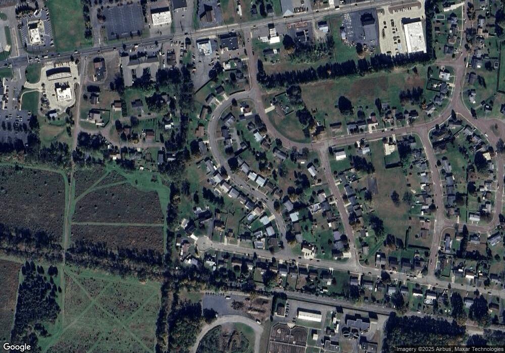
Map
Nearby Homes
- 601 Welliver Rd
- 120 Briarcliff Rd
- 1638 Brittain St
- 4 E Rittenhouse Mill Rd
- 1609,1611 Orange St
- 223 S Mercer St
- 1611 1st Ave
- 1427 Brittain St
- 1332 Spring Garden Ave
- 405 N Mercer St
- 36 1st Ave
- 1500 2nd Ave
- 1239,1241 W Front St
- 1224 Orange St
- 1133 Orange St
- 1117 Spring Garden Ave
- 1308 3rd Ave
- 825 N Mercer St
- LOT #13 3rd Ave
- 108 110 Blair St
Your Personal Tour Guide
Ask me questions while you tour the home.