Estimated Value: $829,000 - $1,028,000
3
Beds
2
Baths
2,125
Sq Ft
$436/Sq Ft
Est. Value
About This Home
This home is located at 21645 Hurst Ln, Bend, OR 97702 and is currently estimated at $927,358, approximately $436 per square foot. 21645 Hurst Ln is a home located in Deschutes County with nearby schools including Silver Rail Elementary School, High Desert Middle School, and Bend Senior High School.
Ownership History
Date
Name
Owned For
Owner Type
Purchase Details
Closed on
Nov 9, 2021
Sold by
Newell Curtis Jean and Newell Robin Iris
Bought by
Newell Curtis Jean and Newell Robin Iris
Current Estimated Value
Home Financials for this Owner
Home Financials are based on the most recent Mortgage that was taken out on this home.
Original Mortgage
$1,095,000
Interest Rate
3.01%
Mortgage Type
Reverse Mortgage Home Equity Conversion Mortgage
Create a Home Valuation Report for This Property
The Home Valuation Report is an in-depth analysis detailing your home's value as well as a comparison with similar homes in the area
Purchase History
We collect this data history from publicly available records. To have your information removed, we recommend requesting removal directly through your county’s website.
| Date | Buyer | Sale Price | Title Company |
|---|---|---|---|
| Newell Curtis Jean | -- | First American Title |
Source: Public Records
Mortgage History
We collect this data history from publicly available records. To have your information removed, we recommend requesting removal directly through your county’s website.
| Date | Status | Borrower | Loan Amount |
|---|---|---|---|
| Closed | Newell Curtis Jean | $1,095,000 |
Source: Public Records
Tax History
| Year | Tax Paid | Tax Assessment Tax Assessment Total Assessment is a certain percentage of the fair market value that is determined by local assessors to be the total taxable value of land and additions on the property. | Land | Improvement |
|---|---|---|---|---|
| 2025 | $6,630 | $442,640 | -- | -- |
| 2024 | $6,344 | $429,750 | -- | -- |
| 2023 | $5,970 | $417,240 | $0 | $0 |
| 2022 | $5,505 | $393,300 | $0 | $0 |
| 2021 | $5,538 | $381,850 | $0 | $0 |
| 2020 | $5,229 | $381,850 | $0 | $0 |
| 2019 | $5,082 | $370,730 | $0 | $0 |
| 2018 | $4,933 | $359,940 | $0 | $0 |
| 2017 | $4,803 | $349,460 | $0 | $0 |
| 2016 | $4,563 | $339,290 | $0 | $0 |
| 2015 | $4,435 | $329,410 | $0 | $0 |
| 2014 | $4,293 | $319,820 | $0 | $0 |
Source: Public Records
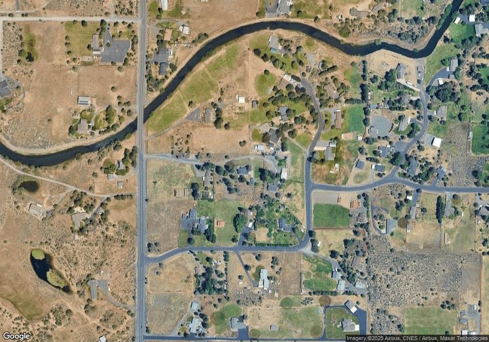
Map
Nearby Homes
- 61885 Ward Rd
- 61900 Anker Ln
- 21491 Bear Creek Rd
- 21925 Bear Creek Rd
- 21283 Dove Ln
- 61077 NE Unity Place
- 21440 Livingston Dr
- 61061 NE Unity Place
- 61065 NE Unity Place
- 61059 NE Give Place
- 57 NE Give Place
- 21266 Capella Place
- 61055 NE Give Place
- 61073 NE Unity Place
- 61703 Tulip Way
- 60169 NE Unity Place
- 21442 N East Livingston Dr
- 21557 NE Gather Place Unit 72
- 21248 Lily Way
- 21362 Bear Creek Rd
- 21655 Hurst Ln
- 21635 Hurst Ln
- 21640 Obsidian Ave
- 61751 Arrow Ave
- 21620 Obsidian Ave
- 21660 Obsidian Ave
- 61750 Ward Rd
- 61761 Arrow Ave
- 61740 Arrow Ave
- 21655 Obsidian Ave
- 61771 Arrow Ave
- 21645 Obsidian Ave
- 21625 Obsidian Ave
- 61770 Arrow Ave
- 61760 Arrow Ave
- 61725 Ward Rd
- 21685 Obsidian Ave
- 61784 Ward Rd
- 61781 Arrow Ave
- 61780 Arrow Ave
Your Personal Tour Guide
Ask me questions while you tour the home.