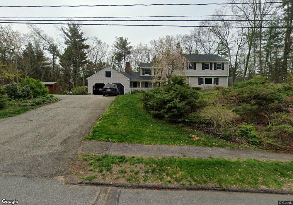
217 Border Rd Concord, MA 01742
Estimated Value: $1,199,818 - $1,438,000
About This Home
This home is located at 217 Border Rd, Concord, MA 01742 and is currently estimated at $1,300,705, approximately $484 per square foot. 217 Border Rd is a home located in Middlesex County with nearby schools including Thoreau Elementary School, Concord Middle School, and Concord Carlisle High School.
Ownership History
We collect this data history from publicly available records. To have your information removed, we recommend requesting removal directly through your county’s website.
Purchase Details
Home Financials for this Owner
Home Financials are based on the most recent Mortgage that was taken out on this home.Purchase Details
Home Values in the Area
Average Home Value in this Area
Purchase History
We collect this data history from publicly available records. To have your information removed, we recommend requesting removal directly through your county’s website.
| Date | Buyer | Sale Price | Title Company |
|---|---|---|---|
| $740,000 | -- | ||
| $740,000 | -- | ||
| $740,000 | -- | ||
| $375,000 | -- |
Mortgage History
We collect this data history from publicly available records. To have your information removed, we recommend requesting removal directly through your county’s website.
| Date | Status | Borrower | Loan Amount |
|---|---|---|---|
| Open | $540,000 | ||
| Closed | $540,000 | ||
| Previous Owner | $25,000 | ||
| Previous Owner | $190,000 |
Tax History
We collect this data history from publicly available records. To have your information removed, we recommend requesting removal directly through your county’s website.
| Year | Tax Paid | Tax Assessment Tax Assessment Total Assessment is a certain percentage of the fair market value that is determined by local assessors to be the total taxable value of land and additions on the property. | Land | Improvement |
|---|---|---|---|---|
| 2025 | $133 | $1,002,800 | $385,300 | $617,500 |
| 2024 | $13,167 | $1,002,800 | $385,300 | $617,500 |
| 2023 | $11,781 | $909,000 | $321,100 | $587,900 |
| 2022 | $11,442 | $775,200 | $284,900 | $490,300 |
| 2021 | $11,130 | $756,100 | $284,900 | $471,200 |
| 2020 | $10,825 | $760,700 | $284,900 | $475,800 |
| 2019 | $10,699 | $754,000 | $303,700 | $450,300 |
| 2018 | $10,665 | $746,300 | $302,200 | $444,100 |
| 2017 | $10,066 | $715,400 | $271,300 | $444,100 |
| 2016 | $9,947 | $714,600 | $271,300 | $443,300 |
| 2015 | $9,044 | $632,900 | $251,300 | $381,600 |
Map
- 114 Hunters Ridge Rd
- 149 Maynard Farm Rd
- 11 Barnet Rd
- 38 Blueberry Ln
- 395 North Rd
- 15 Willard Grant Rd
- 1844 Main St
- 1844 Main St Unit 1
- 1832 Main St
- 1814 Main St
- 24 Deer Path Unit 6
- 230 Harrington Ave
- 19 Skyview Ln
- 39 Winslow St
- 16 Maybury Rd
- 204 Haynes Rd
- 1732 Main St Unit 205
- 18 Harvard Dr
- 5 Harvard Dr
- 39 Adams St
Ask me questions while you tour the home.