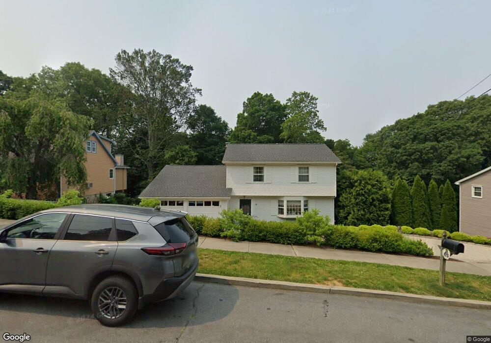
217 Carroll Rd Fairfield, CT 06824
University NeighborhoodEstimated Value: $867,000 - $1,343,000
About This Home
This home is located at 217 Carroll Rd, Fairfield, CT 06824 and is currently estimated at $1,112,573, approximately $682 per square foot. 217 Carroll Rd is a home located in Fairfield County with nearby schools including Riverfield Elementary School, Roger Ludlowe Middle School, and Fairfield Ludlowe High School.
Ownership History
We collect this data history from publicly available records. To have your information removed, we recommend requesting removal directly through your county’s website.
Purchase Details
Purchase Details
Purchase Details
Home Values in the Area
Average Home Value in this Area
Purchase History
We collect this data history from publicly available records. To have your information removed, we recommend requesting removal directly through your county’s website.
| Date | Buyer | Sale Price | Title Company |
|---|---|---|---|
| $280,000 | -- | ||
| $250,000 | -- | ||
| $275,000 | -- |
Tax History
We collect this data history from publicly available records. To have your information removed, we recommend requesting removal directly through your county’s website.
| Year | Tax Paid | Tax Assessment Tax Assessment Total Assessment is a certain percentage of the fair market value that is determined by local assessors to be the total taxable value of land and additions on the property. | Land | Improvement |
|---|---|---|---|---|
| 2025 | $11,145 | $392,560 | $279,300 | $113,260 |
| 2024 | $10,952 | $392,560 | $279,300 | $113,260 |
| 2023 | $10,799 | $392,560 | $279,300 | $113,260 |
| 2022 | $10,693 | $392,560 | $279,300 | $113,260 |
| 2021 | $10,591 | $392,560 | $279,300 | $113,260 |
| 2020 | $10,813 | $403,620 | $276,430 | $127,190 |
| 2019 | $10,813 | $403,620 | $276,430 | $127,190 |
| 2018 | $10,639 | $403,620 | $276,430 | $127,190 |
| 2017 | $10,421 | $403,620 | $276,430 | $127,190 |
| 2016 | $10,272 | $403,620 | $276,430 | $127,190 |
| 2015 | $10,282 | $414,750 | $290,990 | $123,760 |
| 2014 | $10,120 | $414,750 | $290,990 | $123,760 |
Map
- 35 Crystal Ln
- 631 Reid St
- 73 Oxbow Rd
- 58 Millspaugh Dr
- 84 University Dr
- 1185 Stillson Rd
- 1964 N Benson Rd
- 2465 Mill Plain Rd
- 75 Centerbrook Rd
- 12 Sconset Dr
- 121 Osborne Hill Rd
- 280 Tuckahoe Ln
- 163 Windsor Rd
- 148 Szost Dr
- 1646 Jennings Rd
- 45 Pheasant Ln
- 208 Sigwin Dr
- 1747 Jennings Rd
- 240 N Cedar Rd
- 43 Green Knolls Ln
- 237 Carroll Rd
- 195 Carroll Rd
- 224 Carroll Rd
- 192 Carroll Rd
- 177 Carroll Rd
- 202 Woods End Rd
- 251 Carroll Rd
- 218 Woods End Rd
- 196 Woods End Rd
- 163 Carroll Rd
- 240 Carroll Rd
- 269 Carroll Rd
- 182 Woods End Rd
- 182 Woods End Rd
- 232 Woods End Rd
- 258 Carroll Rd
- 287 Carroll Rd
- 176 Carroll Rd
- 43 Thor Place
- 13 Thor Place
Ask me questions while you tour the home.