217 Cresent Dr Forsyth, GA 31029
Estimated Value: $531,000 - $569,281
About This Home
This home is located at 217 Cresent Dr, Forsyth, GA 31029 and is currently estimated at $548,070, approximately $227 per square foot. 217 Cresent Dr is a home located in Monroe County with nearby schools including Samuel E. Hubbard Elementary School and Mary Persons High School.
Ownership History
We collect this data history from publicly available records. To have your information removed, we recommend requesting removal directly through your county’s website.
Purchase Details
Purchase Details
Home Financials for this Owner
Home Financials are based on the most recent Mortgage that was taken out on this home.Purchase Details
Home Financials for this Owner
Home Financials are based on the most recent Mortgage that was taken out on this home.Purchase Details
Purchase Details
Purchase Details
Purchase Details
Purchase Details
Purchase Details
Purchase Details
Purchase Details
Home Values in the Area
Average Home Value in this Area
Purchase History
We collect this data history from publicly available records. To have your information removed, we recommend requesting removal directly through your county’s website.
| Date | Buyer | Sale Price | Title Company |
|---|---|---|---|
| $550,000 | -- | ||
| $425,000 | -- | ||
| -- | -- | ||
| $25,000 | -- | ||
| $12,500 | -- | ||
| $12,500 | -- | ||
| -- | -- | ||
| -- | -- | ||
| $266,300 | -- | ||
| $250,000 | -- | ||
| $315,000 | -- | ||
| $2,474,900 | -- |
Mortgage History
We collect this data history from publicly available records. To have your information removed, we recommend requesting removal directly through your county’s website.
| Date | Status | Borrower | Loan Amount |
|---|---|---|---|
| Previous Owner | $160,000 | ||
| Previous Owner | $135,750 |
Tax History
We collect this data history from publicly available records. To have your information removed, we recommend requesting removal directly through your county’s website.
| Year | Tax Paid | Tax Assessment Tax Assessment Total Assessment is a certain percentage of the fair market value that is determined by local assessors to be the total taxable value of land and additions on the property. | Land | Improvement |
|---|---|---|---|---|
| 2025 | $5,268 | $199,160 | $15,400 | $183,760 |
| 2024 | $5,269 | $199,160 | $15,400 | $183,760 |
| 2023 | $5,056 | $168,520 | $15,400 | $153,120 |
| 2022 | $4,563 | $168,520 | $15,400 | $153,120 |
| 2021 | $3,691 | $163,680 | $10,560 | $153,120 |
| 2020 | $3,141 | $147,720 | $10,560 | $137,160 |
| 2019 | $2,462 | $117,000 | $7,680 | $109,320 |
| 2018 | $2,438 | $115,920 | $6,600 | $109,320 |
| 2017 | $159 | $5,480 | $5,480 | $0 |
| 2016 | $109 | $3,960 | $3,960 | $0 |
| 2015 | $104 | $3,960 | $3,960 | $0 |
| 2014 | $100 | $3,960 | $3,960 | $0 |
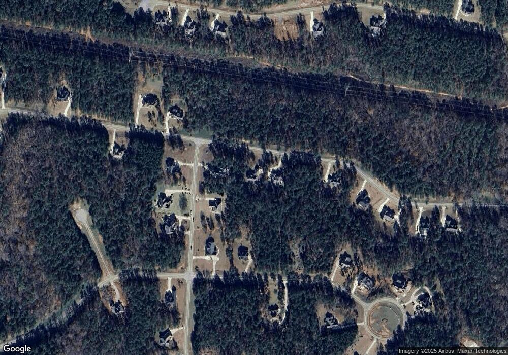
Map
- 109 Piedmont Cir
- 212 Crescent Dr
- 206 Crescent Dr
- 214 Crescent Dr
- 111 Piedmont Cir
- 104 Piedmont Cir
- 615 Forest Pointe Dr
- 120 Heights Ave
- 109 Heights Ave Unit 5
- 103 Heights Ave
- 2778 Boxankle Rd
- 2778 Boxankle Lot 9 Rd
- 415 Forest Pointe Dr
- 506 Forest Pointe Dr
- 207 Forest Pointe Dr
- 607 Forest Pointe Dr
- 101 River Shoals Dr
- 102 Forest Place
- 518 River Overlook
- 100 Ridge Way
- 215 Crescent Dr
- 215 Cresent Dr
- 704 Forest Pointe Dr
- 702 Forest Pointe Dr
- 116 Piedmont Cir Unit L-49
- 707 Forest Pointe Dr
- 112 Piedmont Cir Unit L48A
- 112 Piedmont Cir
- 705 Forest Pointe Dr
- 211 Cresent Dr Unit L56
- 211 Cresent Dr
- 700 Forest Pointe Dr Unit L50
- 700 Forest Pointe Dr
- 703 Forest Pointe Dr
- 300 Crescent Dr Unit M38
- 300 Crescent Dr
- 303 Crescent Dr Unit M84
- 303 Crescent Dr
- 209 Crescent Dr
- 701 Forest Pointe Dr
Ask me questions while you tour the home.