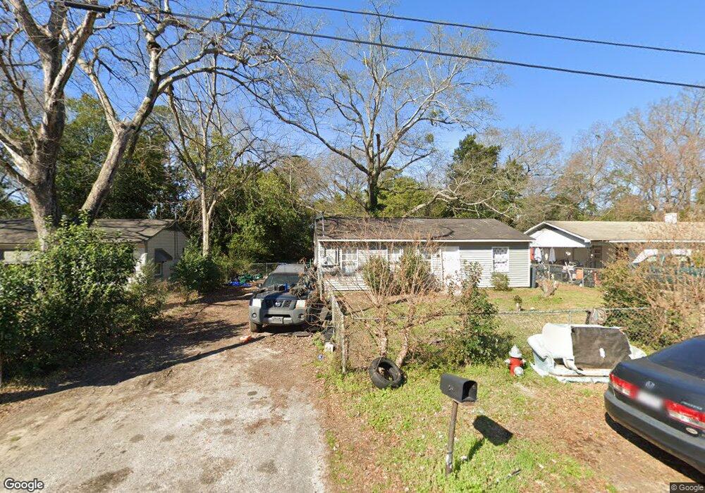
217 Johns Rd Warner Robins, GA 31093
Warner Robins AreaEstimated Value: $77,657 - $112,000
About This Home
This home is located at 217 Johns Rd, Warner Robins, GA 31093 and is currently estimated at $96,164, approximately $108 per square foot. 217 Johns Rd is a home located in Houston County with nearby schools including Northside Middle School, Northside High School, and Christian Fellowship Academy.
Ownership History
We collect this data history from publicly available records. To have your information removed, we recommend requesting removal directly through your county’s website.
Purchase Details
Purchase Details
Purchase Details
Purchase Details
Purchase Details
Home Values in the Area
Average Home Value in this Area
Purchase History
We collect this data history from publicly available records. To have your information removed, we recommend requesting removal directly through your county’s website.
| Date | Buyer | Sale Price | Title Company |
|---|---|---|---|
| $18,000 | None Available | ||
| -- | None Available | ||
| -- | None Available | ||
| -- | -- | ||
| -- | -- | ||
| -- | -- |
Tax History
We collect this data history from publicly available records. To have your information removed, we recommend requesting removal directly through your county’s website.
| Year | Tax Paid | Tax Assessment Tax Assessment Total Assessment is a certain percentage of the fair market value that is determined by local assessors to be the total taxable value of land and additions on the property. | Land | Improvement |
|---|---|---|---|---|
| 2025 | $551 | $18,920 | $6,000 | $12,920 |
| 2024 | $562 | $17,160 | $5,000 | $12,160 |
| 2023 | $415 | $12,600 | $2,320 | $10,280 |
| 2022 | $235 | $10,240 | $2,320 | $7,920 |
| 2021 | $203 | $8,800 | $2,320 | $6,480 |
| 2020 | $167 | $9,960 | $2,320 | $7,640 |
| 2019 | $231 | $9,960 | $2,320 | $7,640 |
| 2018 | $231 | $9,960 | $2,320 | $7,640 |
| 2017 | $232 | $9,960 | $2,320 | $7,640 |
| 2016 | $232 | $9,960 | $2,320 | $7,640 |
| 2015 | -- | $9,960 | $2,320 | $7,640 |
| 2014 | -- | $9,960 | $2,320 | $7,640 |
| 2013 | -- | $13,280 | $2,320 | $10,960 |
Map
- 100 Mauldon Ct
- 212 Dunmurry Place
- 405 Dunmurry Place
- 421 North Ave
- 412 North Ave
- 210 Madrid St
- 423 Camellia Cir
- 137 Northsky Dr
- 125 Northsky Dr
- 132 Evergreen St
- 102 Oklahoma Ave
- 423 King Dr
- 124 N Sky Dr
- 500 Northside Dr
- 104 Delaware Ave
- 212 Tabor Dr
- 212 Tabor Dr
- 212 Tabor Dr
- 712 Green St
- 1032 Elberta Rd
Ask me questions while you tour the home.