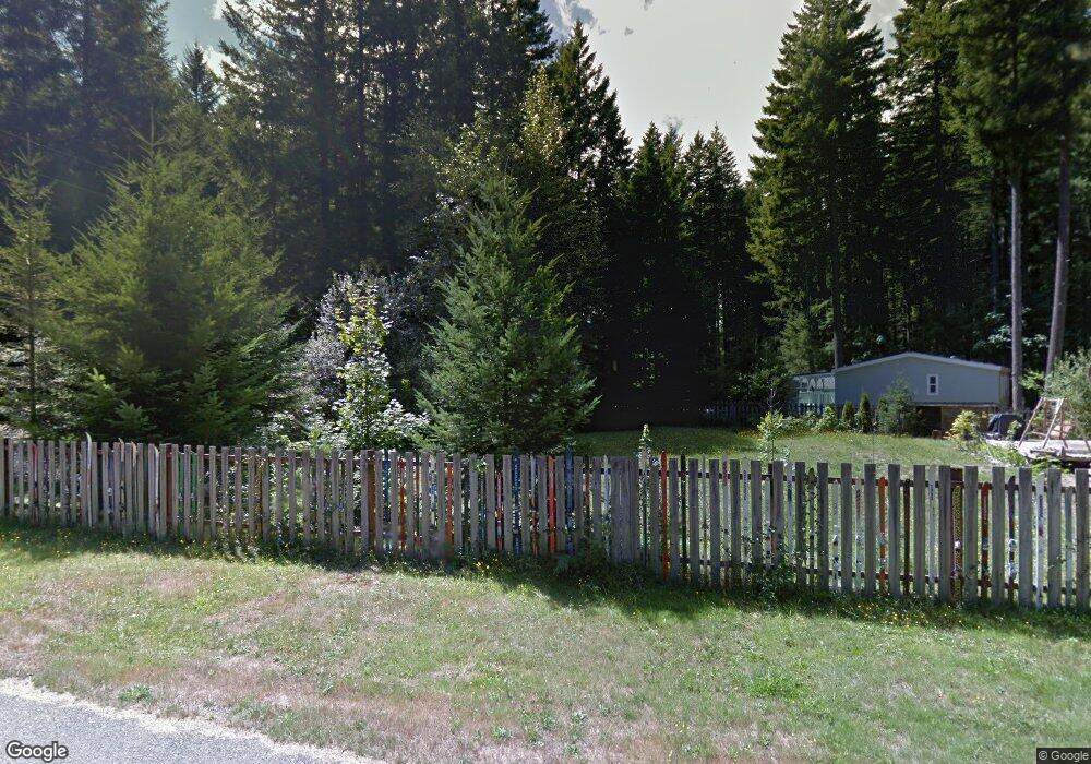
217 Mountain View Dr Packwood, WA 98361
Estimated Value: $428,000 - $643,000
Studio
--
Bath
1,252
Sq Ft
$403/Sq Ft
Est. Value
About This Home
This home is located at 217 Mountain View Dr, Packwood, WA 98361 and is currently estimated at $504,134, approximately $402 per square foot. 217 Mountain View Dr is a home with nearby schools including White Pass Elementary School and White Pass Junior/Senior High School.
Ownership History
Date
Name
Owned For
Owner Type
Purchase Details
Closed on
Feb 27, 2019
Sold by
Flynn Michael J
Bought by
Flynn Jean A
Current Estimated Value
Purchase Details
Closed on
Aug 7, 2017
Sold by
Mosshart Scott A and Mosshart Carol A
Bought by
Flynn Michael and Flynn Jean
Purchase Details
Closed on
Mar 20, 2006
Sold by
Forde Thomas C and Forde Erna A
Bought by
Mosshart Scott A and Mosshart Carol A
Create a Home Valuation Report for This Property
The Home Valuation Report is an in-depth analysis detailing your home's value as well as a comparison with similar homes in the area
Home Values in the Area
Average Home Value in this Area
Purchase History
| Date | Buyer | Sale Price | Title Company |
|---|---|---|---|
| Flynn Jean A | -- | None Available | |
| Flynn Michael | $180,000 | Lewis County Title | |
| Mosshart Scott A | -- | None Available |
Source: Public Records
Tax History
| Year | Tax Paid | Tax Assessment Tax Assessment Total Assessment is a certain percentage of the fair market value that is determined by local assessors to be the total taxable value of land and additions on the property. | Land | Improvement |
|---|---|---|---|---|
| 2025 | $2,834 | $427,600 | $67,200 | $360,400 |
| 2024 | $2,834 | $411,100 | $50,700 | $360,400 |
| 2023 | $2,685 | $365,400 | $50,700 | $314,700 |
| 2022 | $2,299 | $249,300 | $39,000 | $210,300 |
| 2021 | $1,581 | $249,300 | $39,000 | $210,300 |
| 2020 | $1,475 | $147,800 | $27,800 | $120,000 |
| 2019 | $1,458 | $128,900 | $23,900 | $105,000 |
| 2018 | $1,320 | $119,800 | $21,500 | $98,300 |
| 2017 | $1,170 | $102,500 | $21,500 | $81,000 |
| 2016 | $1,216 | $99,500 | $20,900 | $78,600 |
| 2015 | -- | $99,100 | $22,000 | $77,100 |
| 2013 | -- | $105,300 | $33,400 | $71,900 |
Source: Public Records
Map
Nearby Homes
- 233 Mountain View Dr
- 138 Sherwood Ln
- 110 Mountain View Dr
- 105 Jack Fir Ct E
- 171 Timberline Dr
- 131 Timberline Dr W
- 134 Grizzly Rd
- 115 Ridge Ln
- 103 Ridge Ln
- 78 Fir Park Ln
- 0 Loop Ln Unit NWM2464784
- 106 Timber Trail
- 216 Eagle Peak Dr
- 104 Luna Ln
- 123 Campfire Ln
- 127 Campfire Ln
- 131 Campfire Ln
- 103 Mountain View Ln S
- 100 Aspen Ln
- 0 Cannon Rd Unit NWM2416527
- 141 Maple Way
- 221 Mountain View Dr
- 216 Mountain View Dr
- 142 Maple Way
- 146 Maple Way
- 223 Mountain View Dr
- 137 Maple Way
- 205 Mountain View Dr
- 140 Maple Way
- 220 Mountain View Dr
- 102 Maple Place
- 109 Maple Place
- 112 Sunnycrest Ln N
- 203 Mountain View Dr
- 204 Mountain View Dr
- 138 Maple Way
- 120 Shady Ln
- 224 Mountain View Dr
- 227 Mountain View Dr
- 202 Mountain View Dr
Your Personal Tour Guide
Ask me questions while you tour the home.