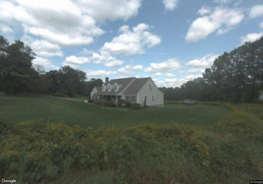
217 Paine Rd Pomfret, CT 06259
Estimated Value: $515,207 - $665,000
3
Beds
3
Baths
2,190
Sq Ft
$267/Sq Ft
Est. Value
About This Home
This home is located at 217 Paine Rd, Pomfret, CT 06259 and is currently estimated at $585,802, approximately $267 per square foot. 217 Paine Rd is a home located in Windham County with nearby schools including Pomfret Community School.
Ownership History
Date
Name
Owned For
Owner Type
Purchase Details
Closed on
Jul 26, 2004
Sold by
Morelli Anthony A
Bought by
Demaire Kevin M and Demaire Cynthia A
Current Estimated Value
Purchase Details
Closed on
Jul 29, 2003
Sold by
Fokken David T and Fokken Vonnie K
Bought by
Morelli Anthony A and Morelli Kimberly
Purchase Details
Closed on
Jul 16, 2001
Sold by
L & H Village Llc
Bought by
Fokken David T and Fokken Vonnie K
Create a Home Valuation Report for This Property
The Home Valuation Report is an in-depth analysis detailing your home's value as well as a comparison with similar homes in the area
Home Values in the Area
Average Home Value in this Area
Purchase History
| Date | Buyer | Sale Price | Title Company |
|---|---|---|---|
| Demaire Kevin M | $338,000 | -- | |
| Morelli Anthony A | $290,000 | -- | |
| Fokken David T | $222,000 | -- |
Source: Public Records
Mortgage History
| Date | Status | Borrower | Loan Amount |
|---|---|---|---|
| Open | Fokken David T | $230,000 | |
| Closed | Fokken David T | $26,000 | |
| Closed | Fokken David T | $240,000 |
Source: Public Records
Tax History
| Year | Tax Paid | Tax Assessment Tax Assessment Total Assessment is a certain percentage of the fair market value that is determined by local assessors to be the total taxable value of land and additions on the property. | Land | Improvement |
|---|---|---|---|---|
| 2025 | $6,669 | $321,700 | $53,000 | $268,700 |
| 2024 | $8,890 | $237,300 | $71,600 | $165,700 |
| 2023 | $6,348 | $237,300 | $71,600 | $165,700 |
| 2022 | $6,345 | $237,300 | $71,600 | $165,700 |
| 2021 | $6,291 | $237,300 | $71,600 | $165,700 |
| 2020 | $5,676 | $205,500 | $65,100 | $140,400 |
| 2019 | $5,585 | $205,500 | $65,100 | $140,400 |
| 2018 | $5,528 | $205,500 | $65,100 | $140,400 |
| 2017 | $5,945 | $205,500 | $65,100 | $140,400 |
| 2016 | $5,261 | $205,500 | $65,100 | $140,400 |
| 2015 | $5,454 | $216,100 | $65,900 | $150,200 |
| 2014 | $5,431 | $216,100 | $65,900 | $150,200 |
Source: Public Records
Map
Nearby Homes
- 204 Paine Rd
- 113A Paine Rd
- 815 Mashamoquet Rd
- 4 Fire Tower Rd
- 834 Hampton Rd
- 00 Mashamoquet Rd
- 328 Brooklyn Rd
- 180 Jericho Rd
- 11 Cheney Rd
- 187 Chaplin Rd
- 0 Boston Turnpike
- 97 Blossom Dr
- 41 Millbridge Rd
- 455 Brayman Hollow Rd
- 640 Wolf Den Rd
- 70 Brayman Hollow Rd
- 187 Old Colony Rd
- 338 Main St
- 261 Old Colony Rd
- 89 John Perry Rd
Your Personal Tour Guide
Ask me questions while you tour the home.