217 Pheasant Dr Mogadore, OH 44260
Estimated Value: $278,000 - $322,000
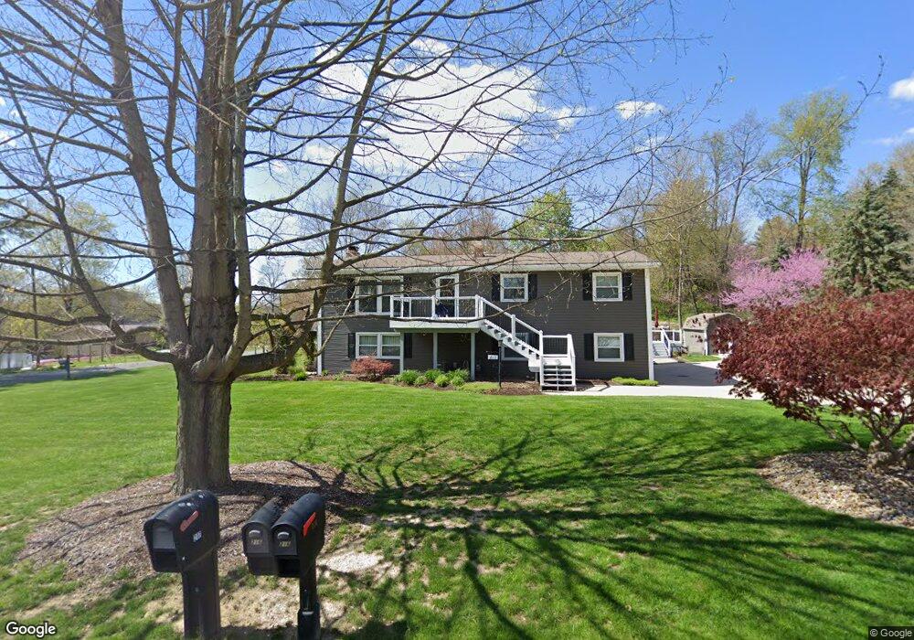
About This Home
This home is located at 217 Pheasant Dr, Mogadore, OH 44260 and is currently estimated at $306,401, approximately $143 per square foot. 217 Pheasant Dr is a home located in Portage County with nearby schools including O.H. Somers Elementary School and Mogadore High School.
Ownership History
We collect this data history from publicly available records. To have your information removed, we recommend requesting removal directly through your county’s website.
Purchase Details
Home Financials for this Owner
Home Financials are based on the most recent Mortgage that was taken out on this home.Purchase History
We collect this data history from publicly available records. To have your information removed, we recommend requesting removal directly through your county’s website.
| Date | Buyer | Sale Price | Title Company |
|---|---|---|---|
| -- | American Certified Title |
Mortgage History
We collect this data history from publicly available records. To have your information removed, we recommend requesting removal directly through your county’s website.
| Date | Status | Borrower | Loan Amount |
|---|---|---|---|
| Closed | $115,500 |
Tax History
We collect this data history from publicly available records. To have your information removed, we recommend requesting removal directly through your county’s website.
| Year | Tax Paid | Tax Assessment Tax Assessment Total Assessment is a certain percentage of the fair market value that is determined by local assessors to be the total taxable value of land and additions on the property. | Land | Improvement |
|---|---|---|---|---|
| 2025 | $5,452 | $98,770 | $14,840 | $83,930 |
| 2024 | $4,395 | $98,770 | $14,840 | $83,930 |
| 2023 | $3,047 | $61,460 | $14,840 | $46,620 |
| 2022 | $3,410 | $61,460 | $14,840 | $46,620 |
| 2021 | $3,322 | $61,460 | $14,840 | $46,620 |
| 2020 | $3,397 | $58,420 | $14,840 | $43,580 |
| 2019 | $3,551 | $58,420 | $14,840 | $43,580 |
| 2018 | $3,549 | $44,910 | $12,600 | $32,310 |
| 2017 | $2,802 | $44,910 | $12,600 | $32,310 |
| 2016 | $2,890 | $44,910 | $12,600 | $32,310 |
| 2015 | $2,954 | $44,910 | $12,600 | $32,310 |
| 2014 | $2,810 | $48,860 | $14,840 | $34,020 |
| 2013 | $2,830 | $48,860 | $14,840 | $34,020 |
Map
- 93 Sunrise Blvd E
- V/L Southeast Ave
- 4153 Ledgewater Dr
- 1166 Cobblestone Dr
- 3695 Mogadore Rd
- 3864 Louise St
- 3651 Dick St
- 3728 Herbert St
- 1042 Newton St
- 3952 Eleanor St
- 97 Kline Ave
- 3720 Orchard St
- 109 Seymour Ave
- 3565 Herbert St
- 144 Joel Dr
- 1182 Eastwood Ave
- 0 V L Marion Ave
- 409 Edith Ave
- 99 Meadowridge Rd
- 16 Hyland Dr
- 229 Pheasant Dr
- 2666 Spring Valley Blvd
- 216 Pheasant Dr
- 2635 Spring Valley Blvd
- 2659 Spring Valley Blvd
- 241 Pheasant Dr
- 3030 Spring Valley Blvd
- V/L .854 Acres Spring Valley Blvd
- 2623 Spring Valley Blvd
- 2997 Spring Valley Blvd
- 3011 Spring Valley Blvd
- 254 Pheasant Dr
- 253 Pheasant Dr
- 3044 Spring Valley Blvd
- 2725 Highline Dr
- 2612 Spring Valley Blvd
- 2999 Spring Valley Blvd
- 255 Vesper Rd
- 2611 Spring Valley Blvd
- 3058 Spring Valley Blvd
Ask me questions while you tour the home.