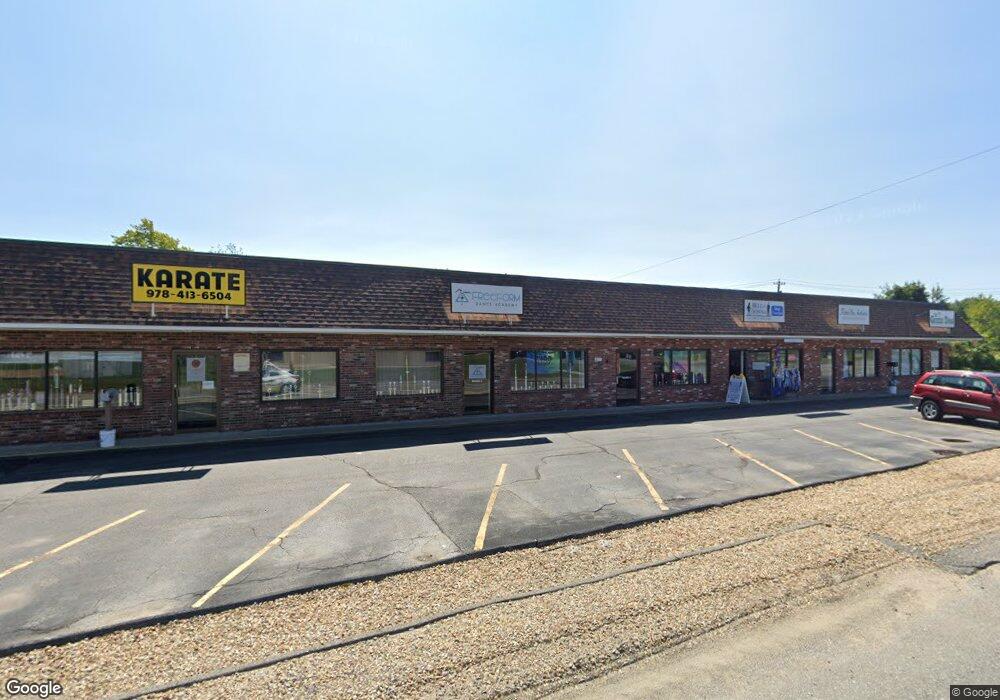
217 State Rd E West Minster, MA 01473
Estimated Value: $930,270
Studio
--
Bath
9,700
Sq Ft
$96/Sq Ft
Est. Value
About This Home
This home is located at 217 State Rd E, West Minster, MA 01473 and is currently estimated at $930,270, approximately $95 per square foot. 217 State Rd E is a home located in Worcester County with nearby schools including Oakmont Regional High School and Applewild School.
Ownership History
Date
Name
Owned For
Owner Type
Purchase Details
Closed on
Jun 18, 2003
Sold by
Saad Bouthaina
Bought by
Tdk Rlty Inc
Current Estimated Value
Purchase Details
Closed on
May 16, 2002
Sold by
Honkonen Robert E
Bought by
217 State Rd East Rt and Saad Ghassan
Home Financials for this Owner
Home Financials are based on the most recent Mortgage that was taken out on this home.
Original Mortgage
$150,000
Interest Rate
7.15%
Mortgage Type
Commercial
Create a Home Valuation Report for This Property
The Home Valuation Report is an in-depth analysis detailing your home's value as well as a comparison with similar homes in the area
Home Values in the Area
Average Home Value in this Area
Purchase History
| Date | Buyer | Sale Price | Title Company |
|---|---|---|---|
| Tdk Rlty Inc | $437,500 | -- | |
| 217 State Rd East Rt | $400,000 | -- |
Source: Public Records
Mortgage History
| Date | Status | Borrower | Loan Amount |
|---|---|---|---|
| Previous Owner | 217 State Rd East Rt | $150,000 | |
| Previous Owner | 217 State Rd East Rt | $10,000 |
Source: Public Records
Tax History
| Year | Tax Paid | Tax Assessment Tax Assessment Total Assessment is a certain percentage of the fair market value that is determined by local assessors to be the total taxable value of land and additions on the property. | Land | Improvement |
|---|---|---|---|---|
| 2025 | $9,662 | $785,500 | $118,500 | $667,000 |
| 2024 | $9,630 | $785,500 | $118,500 | $667,000 |
| 2023 | $9,630 | $737,400 | $116,300 | $621,100 |
| 2022 | $11,651 | $737,400 | $116,300 | $621,100 |
| 2021 | $12,106 | $722,300 | $101,300 | $621,000 |
| 2020 | $12,676 | $722,300 | $101,300 | $621,000 |
| 2019 | $13,182 | $722,300 | $101,300 | $621,000 |
| 2018 | $12,516 | $674,700 | $120,900 | $553,800 |
| 2017 | $12,273 | $674,700 | $120,900 | $553,800 |
| 2016 | $12,671 | $674,700 | $120,900 | $553,800 |
| 2015 | $12,079 | $637,400 | $120,900 | $516,500 |
| 2014 | $12,098 | $637,400 | $120,900 | $516,500 |
Source: Public Records
Map
Nearby Homes
- 2 Taymax Rd
- 147 Constitution Dr Unit 147
- 76 Saw Mill Pond Rd
- 1199 Franklin Rd
- 204 Roosevelt St
- 18 Downy Cir
- 72 Green Briar Rd
- 7 Green Briar Rd Unit 7
- 169 Narrows Rd
- 5 Notown Rd
- 64 Loiselle Ave
- 34 Mountain Laurel Ln
- 2 Roberts Way
- 122 Sanborn St
- 20 Battles Rd
- Lot 0 Narrows Rd
- 3 Linda Dr
- 19 Ashburnham St
- Lot 25 Ashburnham St
- 815-819 River St
- 217 State Rd E Unit 3
- 217 State Rd E Unit 5
- 217 State Rd E Unit 4
- 217 State Rd E Unit 2
- 219 East St
- Lot 1 S Ashburnham
- Lot 2 S Ashburnham
- Lot 5 S Ashburnham
- 1 S Ashburnham Rd
- 3 S Ashburnham Rd
- 2 S Ashburnham Rd
- 6 S Ashburnham Rd
- 16 Roper Rd
- 22 Roper Rd
- 6 W Hill Dr Unit A
- 6 W Hill Dr Unit D
- 6 W Hill Dr Unit C
- 6 W Hill Dr Unit B
- 6A W Hill Dr Unit 6
- 6 W Hill Dr Unit 6C
Your Personal Tour Guide
Ask me questions while you tour the home.