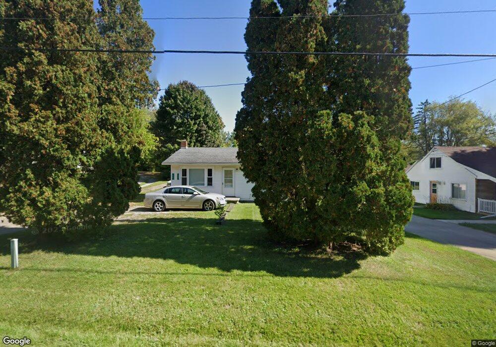
217 Teft Rd Spring Arbor, MI 49283
Estimated Value: $169,332 - $198,000
Studio
--
Bath
1,372
Sq Ft
$133/Sq Ft
Est. Value
About This Home
This home is located at 217 Teft Rd, Spring Arbor, MI 49283 and is currently estimated at $182,333, approximately $132 per square foot. 217 Teft Rd is a home located in Jackson County with nearby schools including Western High School and Trinity Lutheran School.
Ownership History
Date
Name
Owned For
Owner Type
Purchase Details
Closed on
Nov 15, 2017
Sold by
Tokar Jason and Tokar Nicole
Bought by
Btk Rentals
Current Estimated Value
Purchase Details
Closed on
Jun 29, 2005
Sold by
Anderson Dempsey R and Anderson Carolyn J
Bought by
Tokar Jason D and Tokar Nicole
Home Financials for this Owner
Home Financials are based on the most recent Mortgage that was taken out on this home.
Original Mortgage
$76,000
Interest Rate
7.75%
Mortgage Type
Fannie Mae Freddie Mac
Purchase Details
Closed on
Feb 22, 2000
Sold by
Tryand Peter and Tryand Julie
Bought by
Anderson Dempsey R and Anderson Carolyn J
Home Financials for this Owner
Home Financials are based on the most recent Mortgage that was taken out on this home.
Original Mortgage
$55,900
Interest Rate
8.21%
Purchase Details
Closed on
Dec 4, 1997
Sold by
Hastings Jack and Hastings Shrn
Bought by
Tyrand Peter and Tyrand Julie
Purchase Details
Closed on
Mar 1, 1991
Bought by
Hastings
Create a Home Valuation Report for This Property
The Home Valuation Report is an in-depth analysis detailing your home's value as well as a comparison with similar homes in the area
Home Values in the Area
Average Home Value in this Area
Purchase History
| Date | Buyer | Sale Price | Title Company |
|---|---|---|---|
| Btk Rentals | -- | None Available | |
| Tokar Jason D | $95,000 | -- | |
| Anderson Dempsey R | $69,900 | First American Title Ins Co | |
| Tryand Peter | $58,000 | First American Title Ins Co | |
| Tyrand Peter | -- | -- | |
| Hastings | $28,000 | -- |
Source: Public Records
Mortgage History
| Date | Status | Borrower | Loan Amount |
|---|---|---|---|
| Previous Owner | Tokar Jason D | $76,000 | |
| Previous Owner | Anderson Dempsey R | $55,900 |
Source: Public Records
Tax History
| Year | Tax Paid | Tax Assessment Tax Assessment Total Assessment is a certain percentage of the fair market value that is determined by local assessors to be the total taxable value of land and additions on the property. | Land | Improvement |
|---|---|---|---|---|
| 2025 | $2,115 | $78,000 | $0 | $0 |
| 2024 | $15 | $75,400 | $0 | $0 |
| 2023 | $1,500 | $68,300 | $0 | $0 |
| 2022 | $1,919 | $48,900 | $0 | $0 |
| 2021 | $1,876 | $46,040 | $0 | $0 |
| 2020 | $1,852 | $43,490 | $0 | $0 |
| 2019 | $1,779 | $41,320 | $0 | $0 |
| 2018 | $1,761 | $36,660 | $1,610 | $35,050 |
| 2017 | $1,686 | $43,460 | $0 | $0 |
| 2016 | $1,272 | $34,190 | $34,190 | $0 |
| 2015 | $29,677 | $32,570 | $32,570 | $0 |
| 2014 | $29,677 | $30,980 | $30,980 | $0 |
| 2013 | -- | $30,980 | $30,980 | $0 |
Source: Public Records
Map
Nearby Homes
- 7052 Gilroy Ct
- 68 Dickens St
- V/L S Dearing Rd Unit 40 Acres Vacant Land
- 7315 King Rd
- 7117 King Rd
- 8257 Lockerbie Dr
- 7969 Brandon Dr
- 2503 Milford Rd
- 6728 King Rd
- 1400 Chapel Rd
- VL Chapel Rd
- 1400 Chapel Rd Unit B
- 1400 Chapel Rd Unit A
- 7870 Sears Rd
- 20 AC VL Sears Rd
- 5427 Vrooman Rd
- 6820 Bowerman Rd
- 1570 Chapel Rd
- 0 S Parma Rd Unit 26002151
- 0 S Parma Rd Unit 26002152
Your Personal Tour Guide
Ask me questions while you tour the home.