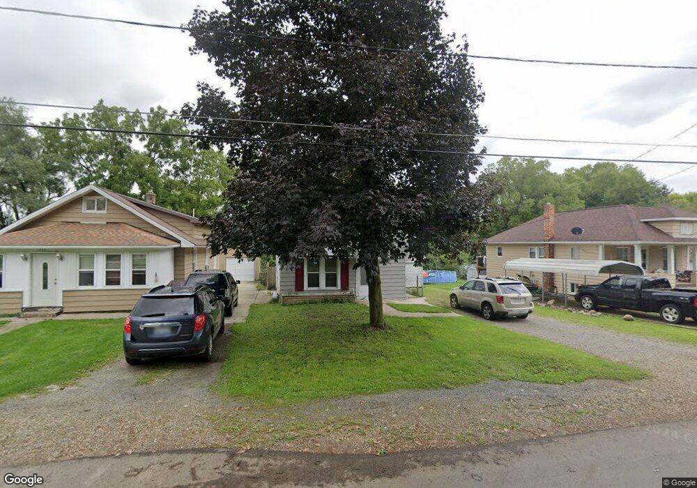
217 Watts St Jackson, MI 49203
Estimated Value: $98,860 - $131,000
3
Beds
1
Bath
1,040
Sq Ft
$110/Sq Ft
Est. Value
About This Home
This home is located at 217 Watts St, Jackson, MI 49203 and is currently estimated at $113,965, approximately $109 per square foot. 217 Watts St is a home located in Jackson County with nearby schools including East Jackson Elementary School, East Jackson Middle School, and East Jackson High School.
Ownership History
Date
Name
Owned For
Owner Type
Purchase Details
Closed on
Jan 31, 2012
Sold by
Mi Seven Llc
Bought by
Kukulka Thomas J
Current Estimated Value
Purchase Details
Closed on
May 10, 2007
Sold by
Mccartney William D and Mccartney Becki S
Bought by
Evans Christopher D and Evans Niky A
Home Financials for this Owner
Home Financials are based on the most recent Mortgage that was taken out on this home.
Original Mortgage
$77,000
Interest Rate
6.27%
Mortgage Type
Purchase Money Mortgage
Purchase Details
Closed on
Mar 1, 1992
Bought by
Mccartney
Create a Home Valuation Report for This Property
The Home Valuation Report is an in-depth analysis detailing your home's value as well as a comparison with similar homes in the area
Home Values in the Area
Average Home Value in this Area
Purchase History
| Date | Buyer | Sale Price | Title Company |
|---|---|---|---|
| Kukulka Thomas J | $10,000 | None Available | |
| Evans Christopher D | $77,000 | At | |
| Mccartney | $32,300 | -- |
Source: Public Records
Mortgage History
| Date | Status | Borrower | Loan Amount |
|---|---|---|---|
| Previous Owner | Evans Christopher D | $77,000 |
Source: Public Records
Tax History
| Year | Tax Paid | Tax Assessment Tax Assessment Total Assessment is a certain percentage of the fair market value that is determined by local assessors to be the total taxable value of land and additions on the property. | Land | Improvement |
|---|---|---|---|---|
| 2025 | $1,253 | $36,650 | $0 | $0 |
| 2024 | $9 | $34,550 | $0 | $0 |
| 2023 | $873 | $32,300 | $0 | $0 |
| 2022 | $1,128 | $26,500 | $0 | $0 |
| 2021 | $1,103 | $22,000 | $0 | $0 |
| 2020 | $1,088 | $22,000 | $0 | $0 |
| 2019 | $1,060 | $21,700 | $0 | $0 |
| 2018 | $991 | $21,100 | $0 | $0 |
| 2017 | $949 | $21,600 | $0 | $0 |
| 2016 | $740 | $21,265 | $21,265 | $0 |
| 2015 | $967 | $17,554 | $17,554 | $0 |
| 2014 | $967 | $18,254 | $0 | $0 |
| 2013 | -- | $18,254 | $18,254 | $0 |
Source: Public Records
Map
Nearby Homes
- 2636 Hickory St
- 131 Willow St
- 149 Mantle Ave
- 111 N Forbes St
- 205 S Dettman Rd
- 106 N Dwight St
- Vl Watts St
- 417 Lockwood St
- 213 N Gorham St
- 134 N Gorham St
- 0 Key St Unit 26001474
- 127 Bates St
- 141 Bates St
- 143 Bates St
- 3227 Matthews St
- 509 S Gorham St
- 339 N Dwight St
- 209 N Pleasant St
- 319 N Gorham St
- 306 N Pleasant St
Your Personal Tour Guide
Ask me questions while you tour the home.