2173 Neals Corner Rd Clover, VA 24534
Estimated Value: $294,000 - $345,000
About This Home
This home is located at 2173 Neals Corner Rd, Clover, VA 24534 and is currently estimated at $310,431, approximately $165 per square foot. 2173 Neals Corner Rd is a home located in Halifax County with nearby schools including Scottsburg Elementary School, Halifax County Middle School, and Halifax County High School.
Ownership History
We collect this data history from publicly available records. To have your information removed, we recommend requesting removal directly through your county’s website.
Purchase Details
Home Financials for this Owner
Home Financials are based on the most recent Mortgage that was taken out on this home.Purchase History
We collect this data history from publicly available records. To have your information removed, we recommend requesting removal directly through your county’s website.
| Date | Buyer | Sale Price | Title Company |
|---|---|---|---|
| $165,000 | -- |
Mortgage History
We collect this data history from publicly available records. To have your information removed, we recommend requesting removal directly through your county’s website.
| Date | Status | Borrower | Loan Amount |
|---|---|---|---|
| Open | $148,500 |
Tax History
We collect this data history from publicly available records. To have your information removed, we recommend requesting removal directly through your county’s website.
| Year | Tax Paid | Tax Assessment Tax Assessment Total Assessment is a certain percentage of the fair market value that is determined by local assessors to be the total taxable value of land and additions on the property. | Land | Improvement |
|---|---|---|---|---|
| 2025 | $946 | $189,294 | $34,315 | $154,979 |
| 2024 | $946 | $189,294 | $34,315 | $154,979 |
| 2023 | $933 | $186,562 | $34,315 | $152,247 |
| 2022 | $933 | $186,571 | $34,315 | $152,256 |
| 2021 | $891 | $178,276 | $34,315 | $143,961 |
| 2020 | $891 | $178,276 | $34,315 | $143,961 |
| 2019 | $893 | $178,540 | $34,579 | $143,961 |
| 2018 | $857 | $178,540 | $34,579 | $143,961 |
| 2016 | $875 | $182,388 | $34,656 | $147,732 |
| 2015 | $875 | $182,388 | $34,656 | $147,732 |
| 2014 | $839 | $182,388 | $34,656 | $147,732 |
| 2013 | $836 | $185,744 | $34,656 | $151,088 |
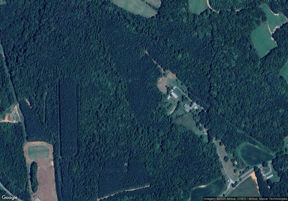
Map
- 3 Acre Neals Corner Rd
- 5 Acres Neals Corner Rd
- 3.50 AC Neals Corner Rd
- 3.25 AC Neals Corner Rd
- 3.09 AC Neals Corner Rd
- 51.04 AC Neals Corner Rd
- 2.50 AC Neals Corner Rd
- 20.27 AC Lloyds Mill Rd
- 1214 Lloyds Mill Rd
- 1204 Lloyds Mill Rd
- 6174 Mount Laurel Rd
- 1128 Chester Rd
- 3102 Green Valley Rd
- 1192 W Store Rd
- 1208 W Store Rd
- 0 Scuffletown Rd Unit 57414
- 3039 T N Snow Rd
- 0 T N Snow Rd
- TBD T N Snow Rd Unit 12
- 1.5 Acre Newbill School Rd
- 2177 Neals Corner Rd
- 2169 Neals Corner Rd
- 2160 Neals Corner Rd
- 2135 Neals Corner Rd
- 2201 Neals Corner Rd
- 2127 Neals Corner Rd
- 2129 Neals Corner Rd
- 2231 Neals Corner Rd
- 2108 Neals Corner Rd
- 2148 Neals Corner Rd
- 2102 Neals Corner Rd
- 2156 Neals Corner Rd
- 2142 Neals Corner Rd
- 2136 Neals Corner Rd
- 1028 Browns Trail
- 1142 Browns Trail
- 1057 Browns Trail
- 1067 Browns Trail
- 1037 Browns Trail
- 3006 Neals Corner Rd
Ask me questions while you tour the home.