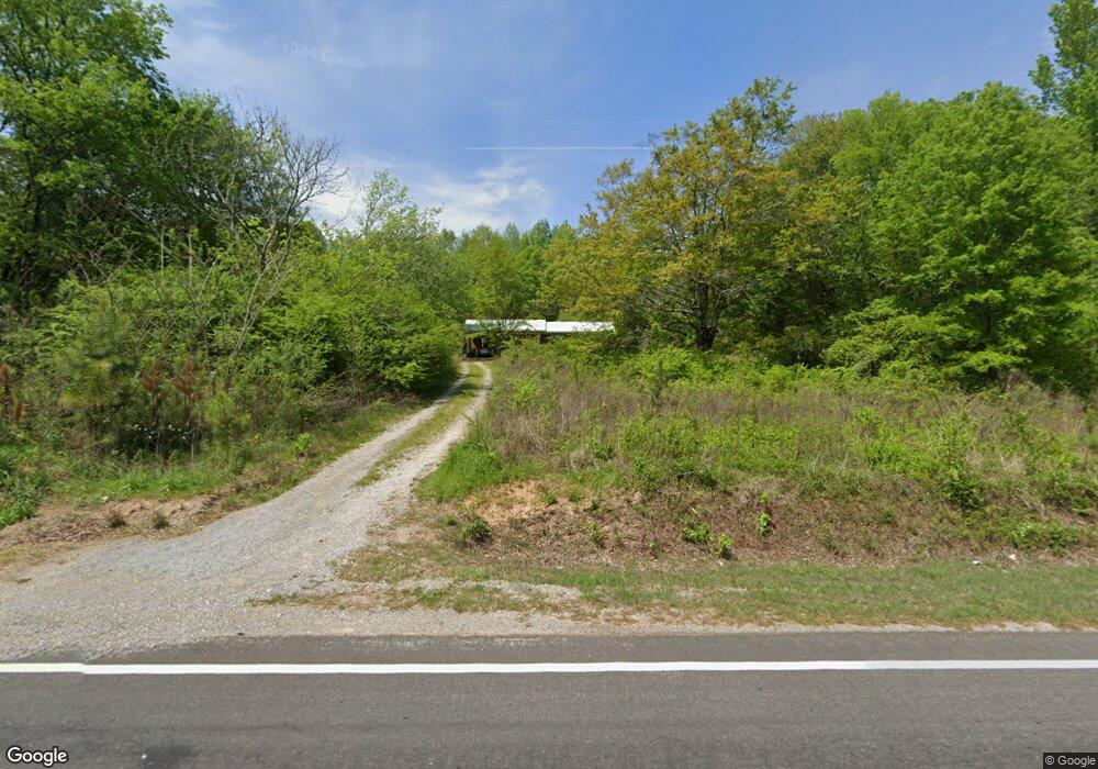
21789 Us Highway 11 Steele, AL 35987
Estimated Value: $175,000 - $227,551
Studio
--
Bath
1,333
Sq Ft
$154/Sq Ft
Est. Value
About This Home
This home is located at 21789 Us Highway 11, Steele, AL 35987 and is currently estimated at $205,888, approximately $154 per square foot. 21789 Us Highway 11 is a home located in St. Clair County with nearby schools including Steele Elementary School and Ashville High School.
Ownership History
Date
Name
Owned For
Owner Type
Purchase Details
Closed on
Aug 14, 2017
Sold by
Chappelear Jane Hodnett
Bought by
Newsome Tina M and Newsome Adam D
Current Estimated Value
Home Financials for this Owner
Home Financials are based on the most recent Mortgage that was taken out on this home.
Original Mortgage
$111,010
Outstanding Balance
$92,804
Interest Rate
4.03%
Mortgage Type
New Conventional
Estimated Equity
$113,084
Purchase Details
Closed on
Jul 15, 2016
Sold by
Hodnett Sally Jo Wallace and Estate Of Sally Jo Wallace Hodnett
Bought by
Chappelear Jane Hodnett
Create a Home Valuation Report for This Property
The Home Valuation Report is an in-depth analysis detailing your home's value as well as a comparison with similar homes in the area
Home Values in the Area
Average Home Value in this Area
Purchase History
| Date | Buyer | Sale Price | Title Company |
|---|---|---|---|
| Newsome Tina M | $109,900 | None Available | |
| Chappelear Jane Hodnett | -- | None Available |
Source: Public Records
Mortgage History
| Date | Status | Borrower | Loan Amount |
|---|---|---|---|
| Open | Newsome Tina M | $111,010 |
Source: Public Records
Tax History
| Year | Tax Paid | Tax Assessment Tax Assessment Total Assessment is a certain percentage of the fair market value that is determined by local assessors to be the total taxable value of land and additions on the property. | Land | Improvement |
|---|---|---|---|---|
| 2024 | $464 | $29,916 | $10,060 | $19,856 |
| 2023 | $464 | $29,916 | $10,060 | $19,856 |
| 2022 | $485 | $15,627 | $5,260 | $10,367 |
| 2021 | $415 | $15,629 | $5,262 | $10,367 |
| 2020 | $415 | $13,365 | $5,262 | $8,103 |
| 2019 | $415 | $13,365 | $5,262 | $8,103 |
| 2018 | $337 | $10,880 | $0 | $0 |
| 2017 | -- | $18,520 | $0 | $0 |
| 2016 | -- | $10,800 | $0 | $0 |
| 2015 | -- | $10,800 | $0 | $0 |
| 2014 | -- | $10,680 | $0 | $0 |
Source: Public Records
Map
Nearby Homes
- 0 Highway 11 Unit 21427361
- 0 Legion Dr Unit 893391
- 0 Legion Dr Unit 19987726
- 15 Dorough St
- 3074 Beason Cove Rd
- 61 Hartsfield Dr
- 19099 US Highway 11
- 0 Sweatt Rd Unit 21415006
- 36240 US Hwy 231
- 145 Cross Creek Ln
- 32960 US Highway 411
- 32728 US Highway 411
- 0 County Road 42 Unit 26157833
- 0 County Road 42 Unit 21442134
- 115 Canoe Dr
- 0 US Hwy 231 Unit 21398012
- 0 US Hwy 231 Unit 21438521
- 435 5th St
- 31 3rd Ave
- 0 Sumatanga Rd
- 21789 U S 11
- 21789 Us Hwy 11
- 21714 Us Highway 11
- 21714 Highway 11
- 21714 Hwy 11
- 277 Frost Hollow Rd
- 86 Frost Hollow Rd
- 21695 Us Highway 11
- 223 Frost Hollow Rd
- 21675 Us Highway 11
- 77 Willie Ln
- 281 Frost Hollow Rd
- 21647 Us Highway 11
- 21672 Us Highway 11
- 230 Frost Hollow Rd
- 275 Frost Hollow Rd
- 21894 Us Highway 11
- 21565 Us Highway 11
- 280 Frost Hollow Rd
- 302 Frost Hollow Rd
Your Personal Tour Guide
Ask me questions while you tour the home.