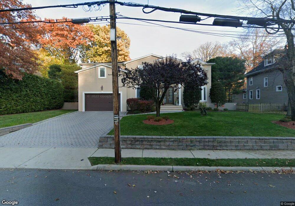
218 Brookside Ave Cresskill, NJ 07626
Estimated Value: $1,662,589 - $2,106,000
Studio
--
Bath
3,964
Sq Ft
$480/Sq Ft
Est. Value
About This Home
This home is located at 218 Brookside Ave, Cresskill, NJ 07626 and is currently estimated at $1,901,147, approximately $479 per square foot. 218 Brookside Ave is a home located in Bergen County with nearby schools including Cresskill High School.
Ownership History
Date
Name
Owned For
Owner Type
Purchase Details
Closed on
Oct 29, 2013
Sold by
Horwich Penni
Bought by
Garcia Danny and Garcia Reyna
Current Estimated Value
Home Financials for this Owner
Home Financials are based on the most recent Mortgage that was taken out on this home.
Original Mortgage
$796,000
Outstanding Balance
$582,131
Interest Rate
3.75%
Mortgage Type
Stand Alone Refi Refinance Of Original Loan
Estimated Equity
$1,319,017
Purchase Details
Closed on
Apr 16, 2003
Sold by
Estate Of Gloria I Oltmer
Bought by
Mamo Fuat and Mamo Diturije
Home Financials for this Owner
Home Financials are based on the most recent Mortgage that was taken out on this home.
Original Mortgage
$230,000
Interest Rate
5.75%
Create a Home Valuation Report for This Property
The Home Valuation Report is an in-depth analysis detailing your home's value as well as a comparison with similar homes in the area
Home Values in the Area
Average Home Value in this Area
Purchase History
| Date | Buyer | Sale Price | Title Company |
|---|---|---|---|
| Garcia Danny | $995,000 | -- | |
| Mamo Fuat | $349,000 | -- |
Source: Public Records
Mortgage History
| Date | Status | Borrower | Loan Amount |
|---|---|---|---|
| Open | Garcia Danny | $796,000 | |
| Previous Owner | Mamo Fuat | $230,000 |
Source: Public Records
Tax History
| Year | Tax Paid | Tax Assessment Tax Assessment Total Assessment is a certain percentage of the fair market value that is determined by local assessors to be the total taxable value of land and additions on the property. | Land | Improvement |
|---|---|---|---|---|
| 2025 | $29,102 | $1,344,000 | $439,500 | $904,500 |
| 2024 | $28,267 | $1,265,300 | $393,000 | $872,300 |
| 2023 | $27,772 | $1,217,900 | $368,000 | $849,900 |
| 2022 | $27,772 | $1,153,800 | $336,500 | $817,300 |
| 2021 | $27,314 | $1,118,500 | $324,000 | $794,500 |
| 2020 | $26,689 | $1,097,400 | $315,500 | $781,900 |
| 2019 | $26,022 | $1,081,100 | $312,000 | $769,100 |
| 2018 | $18,047 | $1,070,400 | $309,000 | $761,400 |
| 2017 | $23,115 | $849,200 | $249,600 | $599,600 |
| 2016 | $22,427 | $849,200 | $249,600 | $599,600 |
| 2015 | $21,731 | $849,200 | $249,600 | $599,600 |
| 2014 | $21,077 | $849,200 | $249,600 | $599,600 |
Source: Public Records
Map
Nearby Homes
- 216 Brookside Ave
- 210 Brookside Ave
- 226 Brookside Ave
- 17 Harvard St
- 7 Harvard St
- 211 Brookside Ave
- 25 Harvard St
- 221 Brookside Ave
- 201 Brookside Ave
- 236 Brookside Ave
- 225 Brookside Ave
- 196 Brookside Ave
- 242 Brookside Ave
- 231 Brookside Ave
- 126 Bergen Terrace
- 34 Merrifield Way
- 191 Brookside Ave
- 90 Mezzine Dr
- 44 Merrifield Way
- 18 Harvard St
Your Personal Tour Guide
Ask me questions while you tour the home.