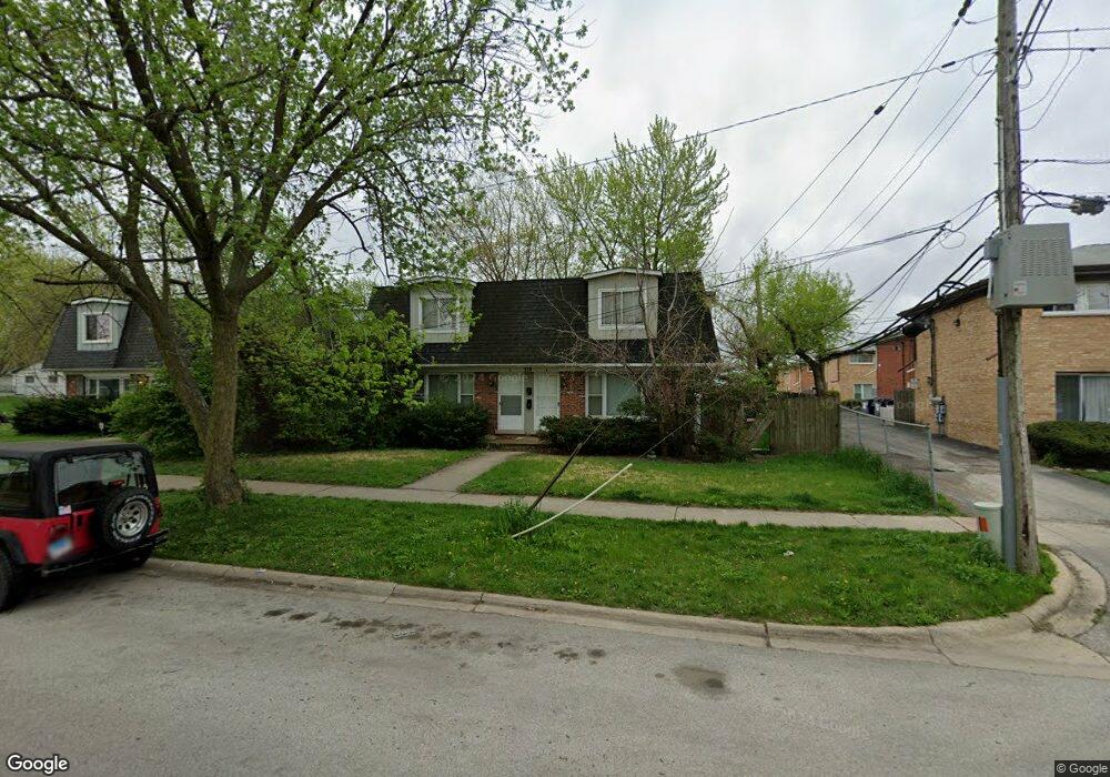
218A Dee Rd Unit B North Aurora, IL 60542
Estimated Value: $346,000 - $488,000
About This Home
This home is located at 218A Dee Rd Unit B, North Aurora, IL 60542 and is currently estimated at $408,228, approximately $153 per square foot. 218A Dee Rd Unit B is a home located in Kane County with nearby schools including Schneider Elementary School, Herget Middle School, and West Aurora High School.
Ownership History
We collect this data history from publicly available records. To have your information removed, we recommend requesting removal directly through your county’s website.
Purchase Details
Home Financials for this Owner
Home Financials are based on the most recent Mortgage that was taken out on this home.Purchase Details
Home Values in the Area
Average Home Value in this Area
Purchase History
We collect this data history from publicly available records. To have your information removed, we recommend requesting removal directly through your county’s website.
| Date | Buyer | Sale Price | Title Company |
|---|---|---|---|
| $102,000 | Chicago Title Insurance Co | ||
| -- | -- |
Mortgage History
We collect this data history from publicly available records. To have your information removed, we recommend requesting removal directly through your county’s website.
| Date | Status | Borrower | Loan Amount |
|---|---|---|---|
| Open | $81,600 |
Tax History
We collect this data history from publicly available records. To have your information removed, we recommend requesting removal directly through your county’s website.
| Year | Tax Paid | Tax Assessment Tax Assessment Total Assessment is a certain percentage of the fair market value that is determined by local assessors to be the total taxable value of land and additions on the property. | Land | Improvement |
|---|---|---|---|---|
| 2024 | $6,948 | $92,434 | $7,823 | $84,611 |
| 2023 | $7,429 | $91,301 | $12,133 | $79,168 |
| 2022 | $6,547 | $79,219 | $11,339 | $67,880 |
| 2021 | $6,388 | $75,132 | $10,754 | $64,378 |
| 2020 | $5,388 | $62,292 | $10,547 | $51,745 |
| 2019 | $5,462 | $60,087 | $10,174 | $49,913 |
| 2018 | $5,433 | $57,798 | $9,786 | $48,012 |
| 2017 | $5,409 | $55,892 | $9,463 | $46,429 |
| 2016 | $5,410 | $54,264 | $9,187 | $45,077 |
| 2015 | -- | $53,029 | $8,978 | $44,051 |
| 2014 | -- | $51,359 | $8,695 | $42,664 |
| 2013 | -- | $50,357 | $8,525 | $41,832 |
Map
- 314 April Ct
- 104 Sharon Ln
- 217 Ridge Rd
- 580 Hamilton Ln
- 217 Sussex Ct
- 125 S River Rd
- 676 Hamilton Ln
- 31 Oak Creek Ct
- 916 Darwin St
- 451 Pheasant Hill Dr
- 509 Turnberry Dr
- 823 Columbia Cir
- 423 Prairie Ridge Ln
- 357 Pheasant Hill Dr
- 864 Wingfoot Dr
- 444 Prairie Ridge Ln
- 448 Prairie Ridge Ln
- 1309 Fairfield Way
- 403-405 S Lincolnway St
- 1692 Sauk Dr
- 219 Linn Ct Unit C
- 219 Linn Ct Unit D
- 219 Linn Ct Unit B
- 219 Linn Ct Unit A
- 219 Linn Ct
- 217 Linn Ct Unit A
- 217 Linn Ct Unit D
- 217 Linn Ct Unit B
- 217 Linn Ct Unit C
- 217 Linn Ct
- 221 Linn Ct Unit A
- 221 Linn Ct Unit B
- 221 Linn Ct Unit C
- 218B Laurel Dr
- 223 Linn Ct Unit B
- 223 Linn Ct Unit A
- 223 Linn Ct Unit D
- 223 Linn Ct Unit C
- 218 Laurel Dr Unit B
- 220A Laurel Dr
Ask me questions while you tour the home.