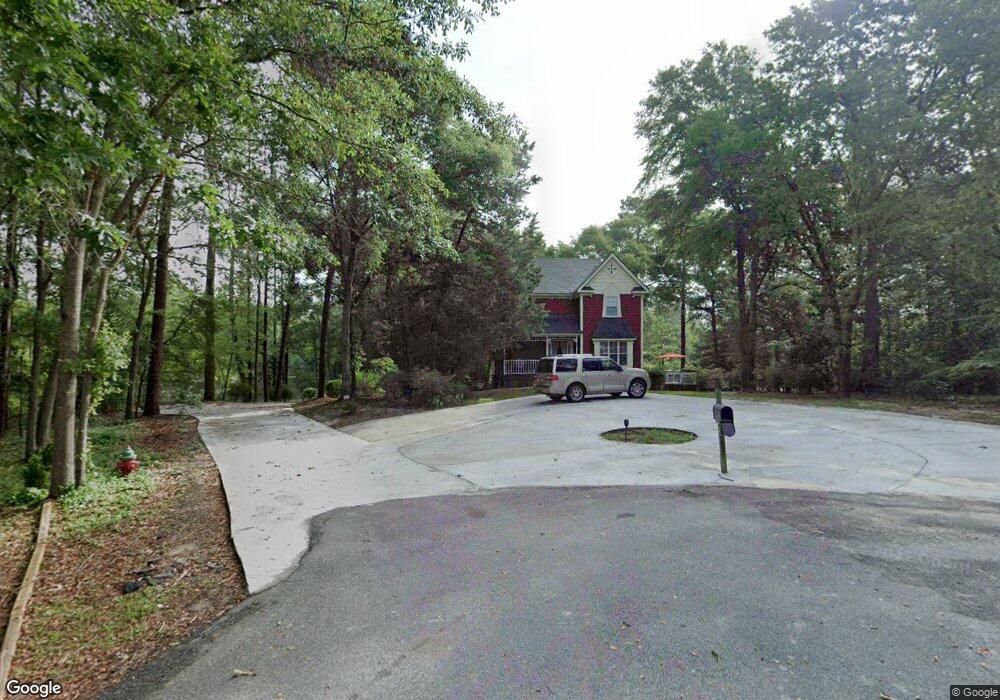
219 E Mockingbird Ln Statesboro, GA 30461
Estimated Value: $335,000 - $402,633
4
Beds
4
Baths
2,876
Sq Ft
$127/Sq Ft
Est. Value
About This Home
This home is located at 219 E Mockingbird Ln, Statesboro, GA 30461 and is currently estimated at $363,908, approximately $126 per square foot. 219 E Mockingbird Ln is a home located in Bulloch County with nearby schools including Statesboro High School, Mill Creek Elementary School, and Langston Chapel Middle School.
Ownership History
Date
Name
Owned For
Owner Type
Purchase Details
Closed on
Dec 22, 2020
Sold by
Porter Douglas A
Bought by
Alshuaibi Fuad M
Current Estimated Value
Home Financials for this Owner
Home Financials are based on the most recent Mortgage that was taken out on this home.
Original Mortgage
$225,000
Outstanding Balance
$120,074
Interest Rate
2.7%
Mortgage Type
Commercial
Estimated Equity
$243,834
Purchase Details
Closed on
Feb 1, 2001
Bought by
Porter Douglas A and Porter Susan L
Create a Home Valuation Report for This Property
The Home Valuation Report is an in-depth analysis detailing your home's value as well as a comparison with similar homes in the area
Purchase History
| Date | Buyer | Sale Price | Title Company |
|---|---|---|---|
| Alshuaibi Fuad M | $260,000 | -- | |
| Porter Douglas A | -- | -- |
Source: Public Records
Mortgage History
| Date | Status | Borrower | Loan Amount |
|---|---|---|---|
| Open | Alshuaibi Fuad M | $225,000 |
Source: Public Records
Tax History
| Year | Tax Paid | Tax Assessment Tax Assessment Total Assessment is a certain percentage of the fair market value that is determined by local assessors to be the total taxable value of land and additions on the property. | Land | Improvement |
|---|---|---|---|---|
| 2025 | $3,322 | $118,724 | $19,200 | $99,524 |
| 2024 | $3,052 | $111,376 | $19,200 | $92,176 |
| 2023 | $3,019 | $105,420 | $10,560 | $94,860 |
| 2022 | $1,806 | $92,056 | $10,560 | $81,496 |
| 2021 | $1,488 | $73,762 | $10,560 | $63,202 |
| 2020 | $1,271 | $63,242 | $10,560 | $52,682 |
| 2019 | $1,330 | $65,744 | $12,880 | $52,864 |
| 2018 | $1,296 | $61,554 | $12,880 | $48,674 |
| 2017 | $1,258 | $59,125 | $12,880 | $46,245 |
| 2016 | $1,261 | $57,766 | $12,880 | $44,886 |
| 2015 | $1,236 | $56,434 | $12,880 | $43,554 |
| 2014 | $1,135 | $56,434 | $12,880 | $43,554 |
Source: Public Records
Map
Nearby Homes
- 306 Meadowlark Cir
- 323 Meadowlark Cir
- 208 Timberline Rd
- 115 Circle Dr
- 23606 Us Highway 80 E
- 112 Beasley Rd
- 112 N Jackson Rd
- 173 Timber Cove
- 128 Hamner Dr
- 126 Hamner Dr
- 112 Hamner Dr
- 211 Circle Dr
- 403 Anzio Dr
- 407 Anzio Dr
- 411 Anzio Dr
- 413 Anzio Dr
- 415 Anzio Dr
- 115 Sandy Way
- 314 Somera Ln
- 316 Somera Ln
- 224 E Mockingbird Ln
- 217 E Mockingbird Ln
- 222 E Mockingbird Ln
- 117 Ellis Rd
- 213 E Mockingbird Ln
- 110 Ellis Rd
- 115 Ellis Rd
- 220 E Mockingbird Ln
- 416 Cardinal Dr
- 414 Cardinal Dr
- 119 Ellis Rd
- 98 Boyd Ln
- 418 Cardinal Dr
- 116 Ellis Rd
- 426 Cardinal Dr
- 412 Cardinal Dr
- 218 E Mockingbird Ln
- 121 Ellis Rd
- 420 Cardinal Dr
- E E Mockingbird Ln
Your Personal Tour Guide
Ask me questions while you tour the home.