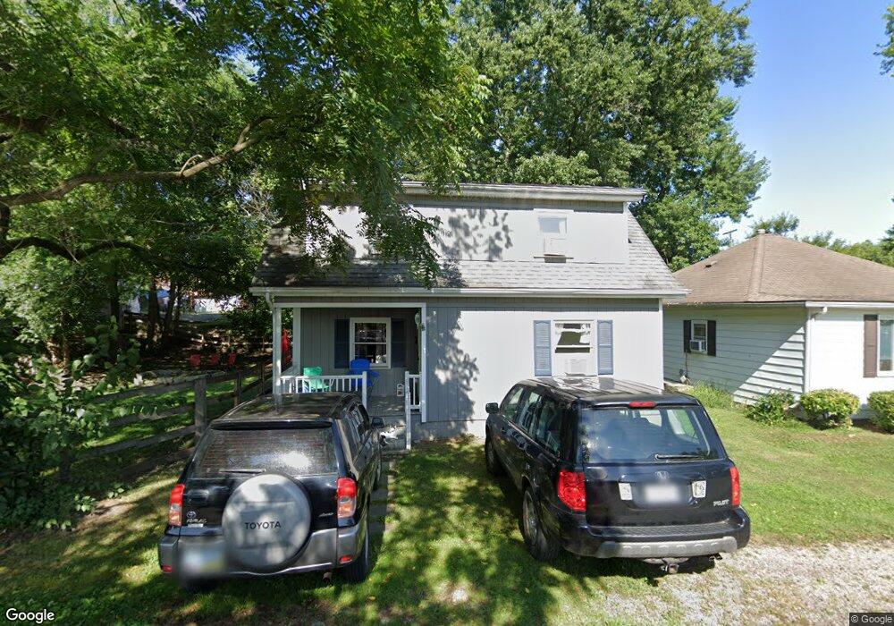
219 Welsh Ave Lancaster, OH 43130
Estimated Value: $136,000 - $141,000
3
Beds
1
Bath
1,086
Sq Ft
$127/Sq Ft
Est. Value
About This Home
This home is located at 219 Welsh Ave, Lancaster, OH 43130 and is currently estimated at $137,670, approximately $126 per square foot. 219 Welsh Ave is a home located in Fairfield County with nearby schools including General Sherman Junior High School, Lancaster High School, and St Mary Elementary School.
Ownership History
Date
Name
Owned For
Owner Type
Purchase Details
Closed on
Jul 27, 2018
Sold by
Marshall Robert E and Shuttleworth Keith A
Bought by
New Katherine and Katherine New Living Trust
Current Estimated Value
Purchase Details
Closed on
Jan 28, 2008
Sold by
Hud
Bought by
Marshall Robert E and Shuttleworth Keith A
Home Financials for this Owner
Home Financials are based on the most recent Mortgage that was taken out on this home.
Original Mortgage
$45,050
Interest Rate
6.62%
Mortgage Type
Purchase Money Mortgage
Purchase Details
Closed on
Mar 14, 2007
Sold by
Armstrong Edwin R and Armstrong Stephanie M
Bought by
Hud
Purchase Details
Closed on
Jul 27, 2005
Sold by
Powers Paula H and Powers Roger S
Bought by
Armstrong Edwin R and Armstrong Stephanie M
Home Financials for this Owner
Home Financials are based on the most recent Mortgage that was taken out on this home.
Original Mortgage
$80,083
Interest Rate
5.74%
Mortgage Type
FHA
Create a Home Valuation Report for This Property
The Home Valuation Report is an in-depth analysis detailing your home's value as well as a comparison with similar homes in the area
Home Values in the Area
Average Home Value in this Area
Purchase History
| Date | Buyer | Sale Price | Title Company |
|---|---|---|---|
| New Katherine | $50,000 | None Available | |
| Marshall Robert E | $53,044 | Lakeside Title & Escrow Agen | |
| Hud | $50,000 | None Available | |
| Armstrong Edwin R | $83,900 | Valmerland Title Agency |
Source: Public Records
Mortgage History
| Date | Status | Borrower | Loan Amount |
|---|---|---|---|
| Previous Owner | Marshall Robert E | $45,050 | |
| Previous Owner | Armstrong Edwin R | $80,083 |
Source: Public Records
Tax History
| Year | Tax Paid | Tax Assessment Tax Assessment Total Assessment is a certain percentage of the fair market value that is determined by local assessors to be the total taxable value of land and additions on the property. | Land | Improvement |
|---|---|---|---|---|
| 2025 | $2,975 | $47,550 | $9,080 | $38,470 |
| 2024 | $2,975 | $33,090 | $5,450 | $27,640 |
| 2023 | $1,319 | $33,090 | $5,450 | $27,640 |
| 2022 | $1,314 | $33,090 | $5,450 | $27,640 |
| 2021 | $1,054 | $24,490 | $5,450 | $19,040 |
| 2020 | $1,060 | $24,490 | $5,450 | $19,040 |
| 2019 | $969 | $24,490 | $5,450 | $19,040 |
| 2018 | $772 | $20,250 | $5,450 | $14,800 |
| 2017 | $772 | $19,450 | $5,450 | $14,000 |
| 2016 | $753 | $19,450 | $5,450 | $14,000 |
| 2015 | $753 | $19,530 | $5,450 | $14,080 |
| 2014 | $718 | $19,530 | $5,450 | $14,080 |
| 2013 | $718 | $19,530 | $5,450 | $14,080 |
Source: Public Records
Map
Nearby Homes
- 701 W Wheeling St
- 110 Welsh Ave
- 757 W Mulberry St
- 302 Washington Ave
- 157 Cedar Hill Rd
- 404 Garfield Ave
- 200 Sherman Ave
- 0 Slocum Ave
- 120 Talmadge Ave
- 759 Lincoln Ave
- 1414 Cedar Hill Rd
- 611 Mckinley Ave
- 301 Witte St
- 1511 Cedar Hill Rd
- 114-116 S Cedar Ave
- 736 Garfield Ave
- 721 Mckinley W
- 729 Pennsylvania Ave
- 0 N Columbus St
- 515 N Columbus St
- 221 Welsh Ave
- 219 Welsh St
- 219 Welsh St
- 221 Welsh St
- 212 Harrison Ave
- 210 Harrison Ave
- 231 Welsh St
- 231 Welsh Ave
- 220 Harrison Ave
- 206 Harrison Ave
- 233 Welsh St
- 235 Welsh St
- 226 Harrison Ave
- 710 W Mulberry St
- 230 Harrison Ave
- 200 Harrison Ave
- 614 W Wheeling St
- 232 Harrison Ave
- 708 W Wheeling St
- 234 Harrison Ave
Your Personal Tour Guide
Ask me questions while you tour the home.