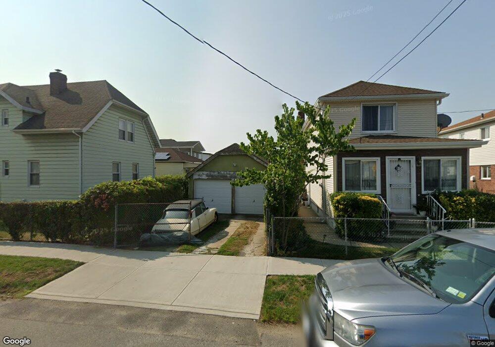
21922 131st Ave Springfield Gardens, NY 11413
Laurelton NeighborhoodEstimated Value: $629,816 - $764,000
Studio
--
Bath
1,332
Sq Ft
$532/Sq Ft
Est. Value
About This Home
This home is located at 21922 131st Ave, Springfield Gardens, NY 11413 and is currently estimated at $708,454, approximately $531 per square foot. 21922 131st Ave is a home located in Queens County with nearby schools including P.S. 132 - Ralph Bunche, Is 59 Springfield Gardens, and Success Academy Springfield Gardens.
Ownership History
Date
Name
Owned For
Owner Type
Purchase Details
Closed on
Jun 18, 2003
Sold by
Jackson Bruce C and Jackson Dalia F
Bought by
Crawford Joan and Crawford Selwyn
Current Estimated Value
Home Financials for this Owner
Home Financials are based on the most recent Mortgage that was taken out on this home.
Original Mortgage
$266,000
Interest Rate
6.02%
Mortgage Type
Purchase Money Mortgage
Create a Home Valuation Report for This Property
The Home Valuation Report is an in-depth analysis detailing your home's value as well as a comparison with similar homes in the area
Home Values in the Area
Average Home Value in this Area
Purchase History
| Date | Buyer | Sale Price | Title Company |
|---|---|---|---|
| Crawford Joan | $280,000 | -- |
Source: Public Records
Mortgage History
| Date | Status | Borrower | Loan Amount |
|---|---|---|---|
| Previous Owner | Crawford Joan | $266,000 |
Source: Public Records
Tax History
| Year | Tax Paid | Tax Assessment Tax Assessment Total Assessment is a certain percentage of the fair market value that is determined by local assessors to be the total taxable value of land and additions on the property. | Land | Improvement |
|---|---|---|---|---|
| 2025 | $4,036 | $22,786 | $6,375 | $16,411 |
| 2024 | $4,049 | $21,497 | $6,633 | $14,864 |
| 2023 | $4,036 | $21,497 | $5,688 | $15,809 |
| 2022 | $3,961 | $36,840 | $11,700 | $25,140 |
| 2021 | $3,934 | $36,900 | $11,700 | $25,200 |
| 2020 | $3,723 | $31,740 | $11,700 | $20,040 |
| 2019 | $3,455 | $31,860 | $11,700 | $20,160 |
| 2018 | $3,354 | $17,914 | $6,107 | $11,807 |
| 2017 | $3,315 | $17,733 | $8,292 | $9,441 |
| 2016 | $3,038 | $17,733 | $8,292 | $9,441 |
| 2015 | $1,798 | $15,823 | $7,124 | $8,699 |
| 2014 | $1,798 | $14,929 | $7,346 | $7,583 |
Source: Public Records
Map
Nearby Homes
- 21910 132nd Rd
- 13155 221st St
- 21706 131st Ave
- 13158 223rd St
- 21614 132nd Rd
- 22301 133rd Ave
- 22014 130th Ave
- 22014 130th Ave
- 21621 133rd Rd
- 220-03 130th Ave
- 21827 130th Ave
- 134-15 221st St
- 131-28 225th St
- 22025 134th Rd
- 13062 225th St
- 12516 Adair St
- 222-21 130th Ave
- 130-12 224th St
- 13071 225th St
- 13003 Springfield Blvd
- 21920 131st Ave
- 13106 220th St
- 13104 220th St
- 21916 131st Ave
- 219-16 131st Ave
- 13112 220th St
- 21845 132nd Ave
- 21841 132nd Ave
- 21845 132nd Ave
- 13114 220th St
- 21912 131st Ave
- 131-14 220th St
- 13114 220th St
- 21837 132nd Ave
- 131-06 220th St
- 21837 132nd Ave
- 13118 220th St
- 21835 132nd Ave
- 21908 131st Ave
- 21929 131st Ave
Your Personal Tour Guide
Ask me questions while you tour the home.